MyTopo
Lombard Wisconsin US Topo Map
Couldn't load pickup availability
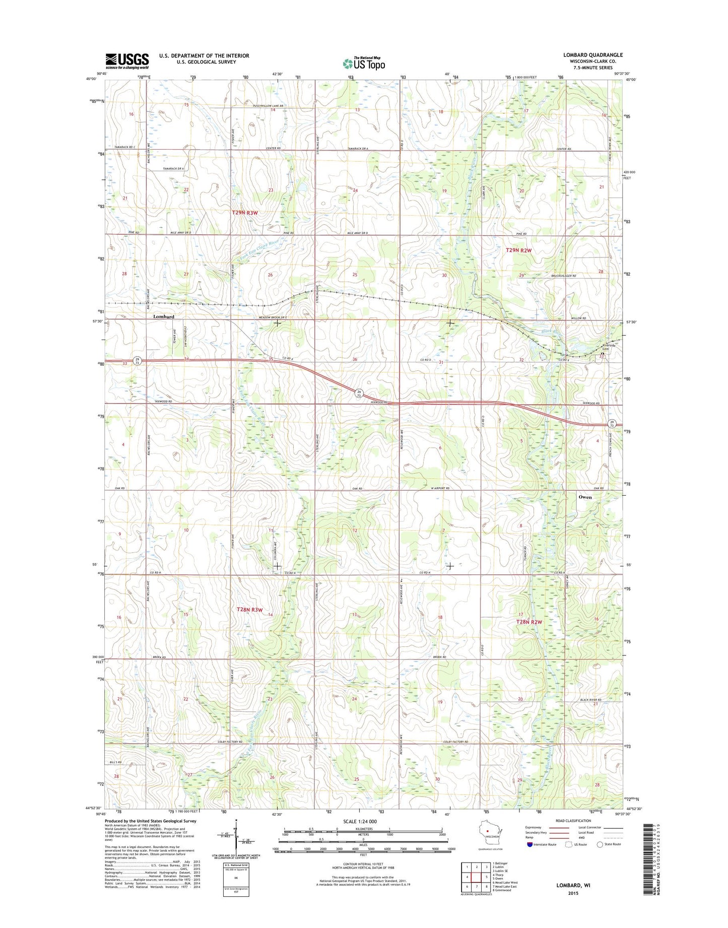
2022 topographic map quadrangle Lombard in the state of Wisconsin. Scale: 1:24000. Based on the newly updated USGS 7.5' US Topo map series, this map is in the following counties: Clark. The map contains contour data, water features, and other items you are used to seeing on USGS maps, but also has updated roads and other features. This is the next generation of topographic maps. Printed on high-quality waterproof paper with UV fade-resistant inks.
Quads adjacent to this one:
West: Thorp
Northwest: Bellinger
North: Lublin
Northeast: Lublin SE
East: Owen
Southeast: Greenwood
South: Mead Lake East
Southwest: Mead Lake West
This map covers the same area as the classic USGS quad with code o44090h6.
Contains the following named places: Bethany Church, Black River County Park, Black River Parochial School, Bruce Mound Parochial School, Colby School, Frenchtown School, Kingdom Hall, Lombard, Oakvale School, Owen Wastewater Treatment Facility, Pineland School, Poppe School, Reseburg Church, Riverside Cemetery, Sterling School, Town of Reseburg, Town of Withee