MyTopo
New Post Wisconsin US Topo Map
Couldn't load pickup availability
Also explore the New Post Forest Service Topo of this same quad for updated USFS data
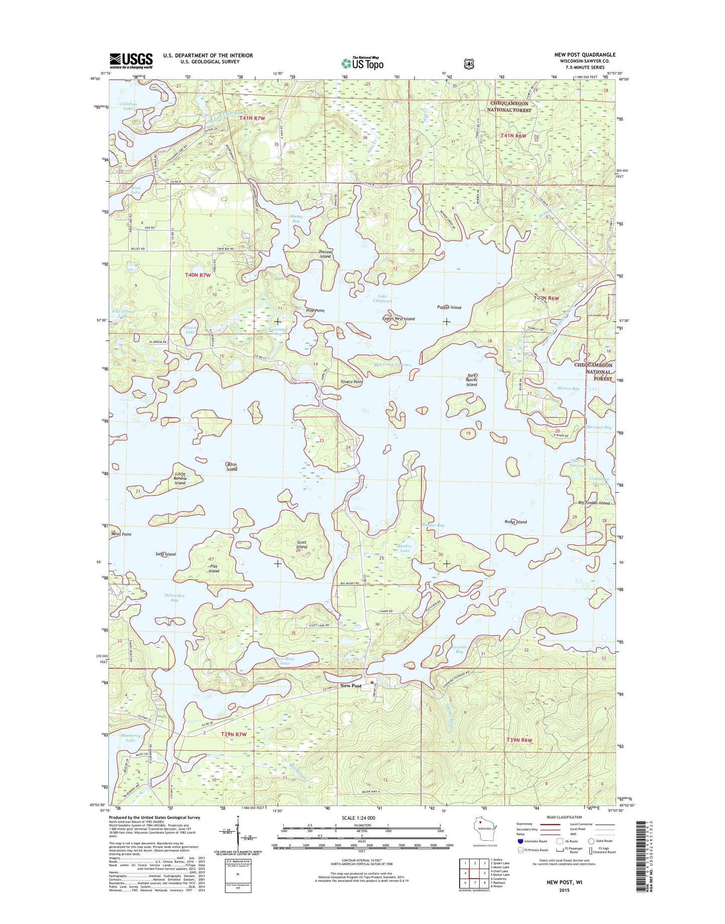
2022 topographic map quadrangle New Post in the state of Wisconsin. Scale: 1:24000. Based on the newly updated USGS 7.5' US Topo map series, this map is in the following counties: Sawyer. The map contains contour data, water features, and other items you are used to seeing on USGS maps, but also has updated roads and other features. This is the next generation of topographic maps. Printed on high-quality waterproof paper with UV fade-resistant inks.
Quads adjacent to this one:
West: Chief Lake
Northwest: Seeley
North: Spider Lake
Northeast: Moose Lake
East: Barker Lake
Southeast: Winter
South: Radisson
Southwest: Couderay
This map covers the same area as the classic USGS quad with code o45091h2.
Contains the following named places: Beaver Creek, Big Banana Island, Big Timber Island, Birch Island, Blueberry Campground, Blueberry Creek, Bunker Bay, Bunker Lake, Callahan Lake, Callahan Lake Dam, Camp One Creek, Carpenter Lake, Chief Narrows, Crystal Lake, Darrow Island, Drake Creek, Eagles Nest Island, Flat Island, Glover Lake, Granite Bay, Hay Creek, Hay Creek Narrows, Hermans Landing, Hunter School, Hunter Townhall, James Lake, James Slough, Kavanagh Bay, Lac Courte Oreilles Volunteer Fire Department Station 1, Lake Chippewa, Little Banana Island, Miles Point, Milwaukee Bay, Moonshine Lake, Moores Bay, Moss Creek, Mud Lake, Musky Bay, New Post, New Post Census Designated Place, North Fork Chief River, O K Camp, Pine Point, Pipestone Creek, Pokegama Lake, Popple Island, Pork Barrel Island, Reed Lake, Rice Lake, Riverview School, Rudys Island, Sand Island, Sawyer County, Scott Island, Scott Lake, Sherman Bay, Slivers Point, Spooky Bay Creek, Town of Hunter, Two Boys Lake, West Fork Chippewa River