MyTopo
Pine Island Wisconsin US Topo Map
Couldn't load pickup availability
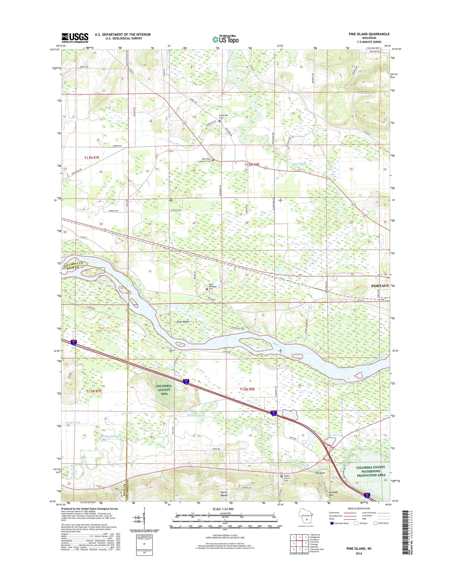
2022 topographic map quadrangle Pine Island in the state of Wisconsin. Scale: 1:24000. Based on the newly updated USGS 7.5' US Topo map series, this map is in the following counties: Columbia, Sauk. The map contains contour data, water features, and other items you are used to seeing on USGS maps, but also has updated roads and other features. This is the next generation of topographic maps. Printed on high-quality waterproof paper with UV fade-resistant inks.
Quads adjacent to this one:
West: Lewiston
Northwest: Big Spring
North: Briggsville
Northeast: Endeavor
East: Portage
Southeast: Poynette
South: Durwards Glen
Southwest: Baraboo
This map covers the same area as the classic USGS quad with code o43089e5.
Contains the following named places: 8 Reservoir, Columbia County Waterfowl Production Area, Cummings Cemetery, Fox Glen, Fox Glen School, Hillside School, Leech Creek, Lewiston 2 C 6118 Dam, Lewiston Elementary School, Lower Narrows School, Pine Island, Pine Island State Wildlife Area, Saint Michaels Cemetery, Saint Paul Church, Saint Paul Lutheran Cemetery, Town of Lewiston, Welsh Church Cemetery