MyTopo
Pleasant Ridge Wisconsin US Topo Map
Couldn't load pickup availability
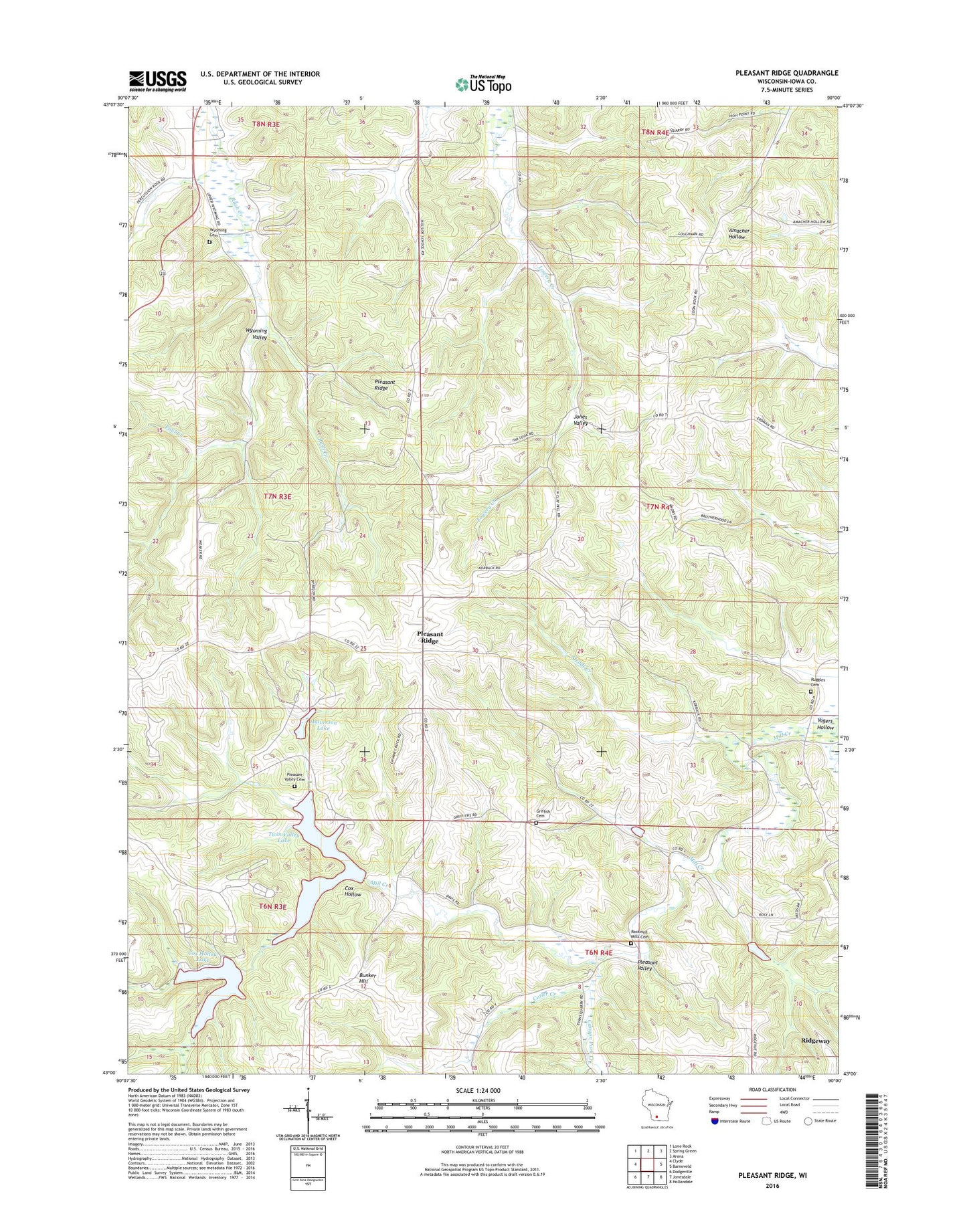
2022 topographic map quadrangle Pleasant Ridge in the state of Wisconsin. Scale: 1:24000. Based on the newly updated USGS 7.5' US Topo map series, this map is in the following counties: Iowa. The map contains contour data, water features, and other items you are used to seeing on USGS maps, but also has updated roads and other features. This is the next generation of topographic maps. Printed on high-quality waterproof paper with UV fade-resistant inks.
Quads adjacent to this one:
West: Clyde
Northwest: Lone Rock
North: Spring Green
Northeast: Arena
East: Barneveld
Southeast: Hollandale
South: Jonesdale
Southwest: Dodgeville
This map covers the same area as the classic USGS quad with code o43090a1.
Contains the following named places: 2 Reservoir, 4.04 Reservoir, 7.98 Reservoir, Bunker Hill, Bunker Hill School, Canyon Park Creek, Cates Family Farm, Cox Hollow, Cox Hollow Lake, Cox Hollow Number 2 2WP1783 Dam, Cox Hollow Number One Dam, Cutler Creek, East Pleasant Ridge School, Governor Dodge State Park, Griffith Cemetery, Halverson Lake, Hogan School, Love Creek, Meudt Creek, Paul Creek, Pine Cliff State Natural Area, Pleasant Ridge, Pleasant Valley, Pleasant Valley School, Rockwell Mills Cemetery, Rockwell Mills School, Ruggles Cemetery, Saints Peter and Paul Church, Strutt Creek, Town of Dodgeville, Town of Wyoming, Twin Parks 12 2WP1782 Dam, Twin Parks 3 2WP1780 Dam, Twin Parks 4 2WP1780 Dam, Twin Parks 6 2WP1780 Dam, Twin Valley Lake, Twin Valley Lake 6.07, Valley View Cemetery, West Pleasant Ridge School, Wyoming Cemetery, Wyoming School, Yagers Corner School, Yagers Hollow


