MyTopo
Rosholt NW Wisconsin US Topo Map
Couldn't load pickup availability
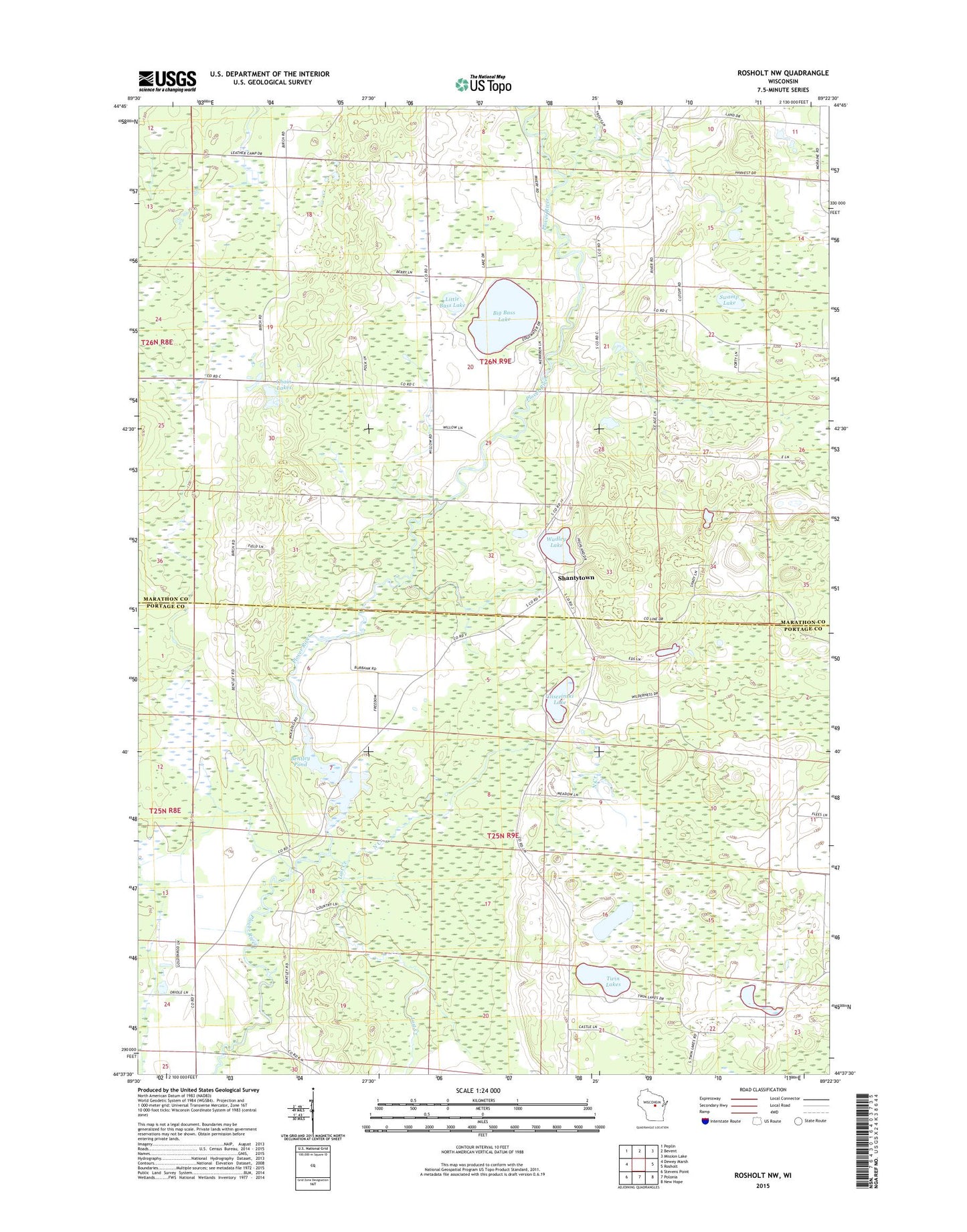
2022 topographic map quadrangle Rosholt NW in the state of Wisconsin. Scale: 1:24000. Based on the newly updated USGS 7.5' US Topo map series, this map is in the following counties: Marathon, Portage. The map contains contour data, water features, and other items you are used to seeing on USGS maps, but also has updated roads and other features. This is the next generation of topographic maps. Printed on high-quality waterproof paper with UV fade-resistant inks.
Quads adjacent to this one:
West: Dewey Marsh
Northwest: Peplin
North: Bevent
Northeast: Mission Lake
East: Rosholt
Southeast: New Hope
South: Polonia
Southwest: Stevens Point
This map covers the same area as the classic USGS quad with code o44089f4.
Contains the following named places: Bentley Pond, Bentley Sawmill Dam, Big Bass Lake, Bruske School, Chain Lakes, County Line School, Filtz Farm, Glisezinski Lake, Harrison School, Little Bass Lake, Lost Creek, North Creek, Polk School, Shantytown, Swamp Lake, Town of Bevent, Twin Lakes, Wadley Lake