MyTopo
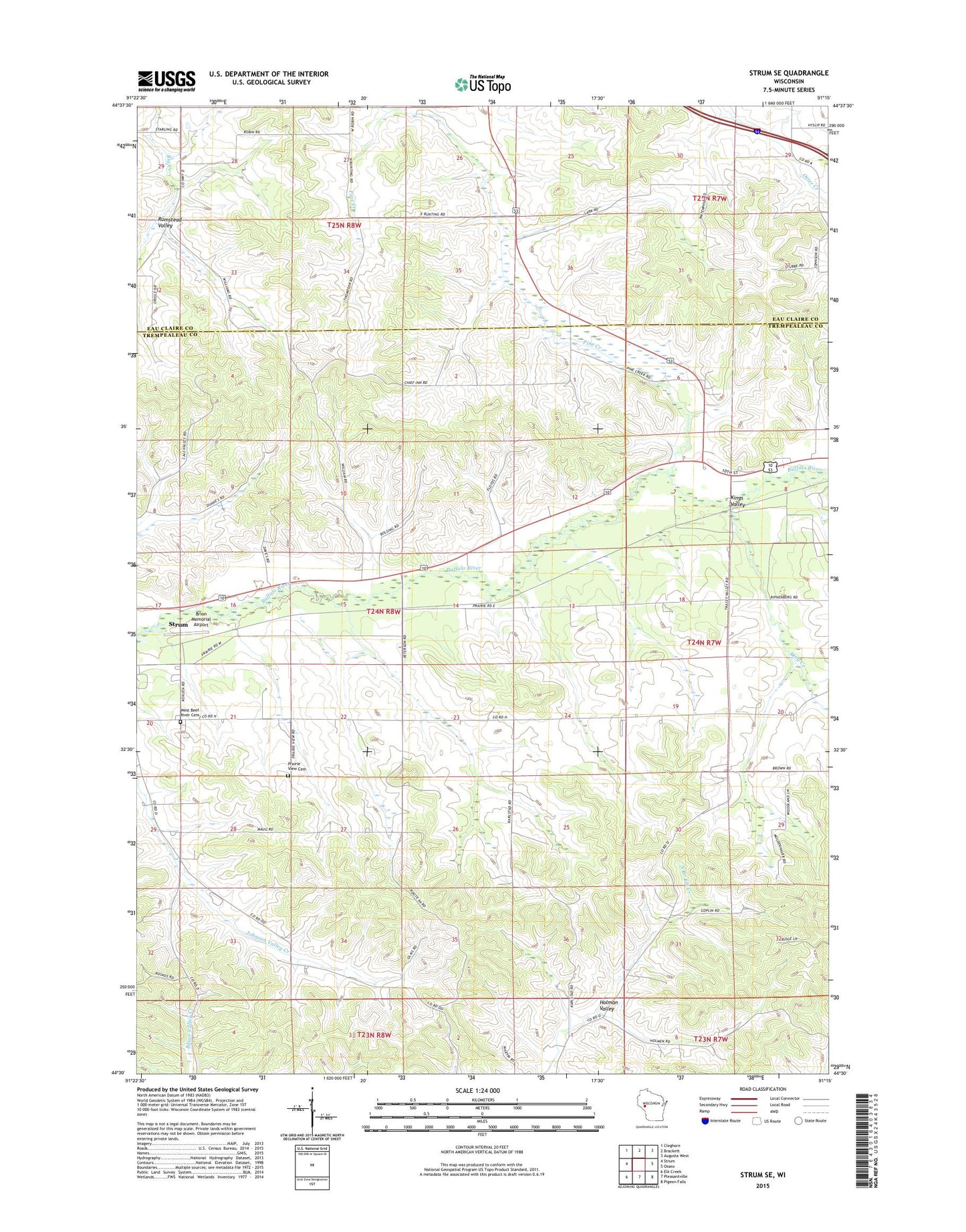
Strum SE Wisconsin US Topo Map
Couldn't load pickup availability
2022 topographic map quadrangle Strum SE in the state of Wisconsin. Scale: 1:24000. Based on the newly updated USGS 7.5' US Topo map series, this map is in the following counties: Trempealeau, Eau Claire. The map contains contour data, water features, and other items you are used to seeing on USGS maps, but also has updated roads and other features. This is the next generation of topographic maps. Printed on high-quality waterproof paper with UV fade-resistant inks.
Quads adjacent to this one:
West: Strum
Northwest: Cleghorn
North: Brackett
Northeast: Augusta West
East: Osseo
Southeast: Pigeon Falls
South: Pleasantville
Southwest: Elk Creek
This map covers the same area as the classic USGS quad with code o44091e3.
Contains the following named places: Brick School, Brion Memorial Airport, Clemenson School, Fowler Creek, Holman Valley, Howreys Creek, Johnson Valley School, King Creek, Kingdom Hall, Kings Valley, Norseville School, Pine Creek, Pine Creek School, Plainview School, Prairie View Cemetery, River View School, Rumstead Valley, Town of Unity, Tracy Valley School, West Beef River Cemetery, York Valley School, ZIP Code: 54770