MyTopo
Townsend Wisconsin US Topo Map
Couldn't load pickup availability
Also explore the Townsend Forest Service Topo of this same quad for updated USFS data
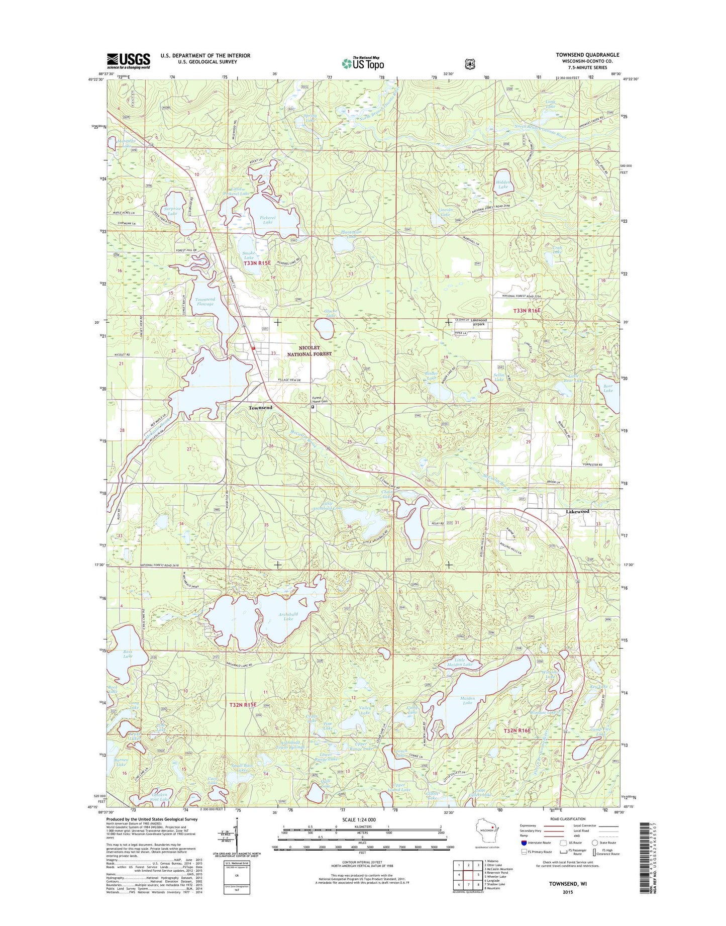
2022 topographic map quadrangle Townsend in the state of Wisconsin. Scale: 1:24000. Based on the newly updated USGS 7.5' US Topo map series, this map is in the following counties: Oconto. The map contains contour data, water features, and other items you are used to seeing on USGS maps, but also has updated roads and other features. This is the next generation of topographic maps. Printed on high-quality waterproof paper with UV fade-resistant inks.
Quads adjacent to this one:
West: Reservoir Pond
Northwest: Wabeno
North: Otter Lake
Northeast: McCaslin Mountain
East: Wheeler Lake
Southeast: Mountain
South: Shadow Lake
Southwest: Langlade
This map covers the same area as the classic USGS quad with code o45088c5.
Contains the following named places: Archibald Lake, Archibald Lookout Tower, Archibald Tower Springs, Barnes Lake, Bass Lake, Bass Lake Recreation Stie, Bear Lake, Binder Lake, Camp Five Lake, Camp Lake, Cathedral of Pines Area, Cave Lake, Cedar Lake, Chain Lake, Chicken Foot Lake, Crab Lake, Deep Lake, Far Lake, Forest Home Cemetery, French Lake, Gillett Lake, Glocke Lake, Glocke Lake State Natural Area, Hidden Lake, Key Lake, Krake Lakes, Lakewood, Lakewood Airpark, Lakewood Census Designated Place, Lakewood District Ranger Station, Lakewood Post Office, Lakewood State Fish Hatchery, Lakewood Townsend Ambulance, Lincoln Lake, Line Lake, Little Archibald Lake, Little Bear Lake, Little Maiden Lake, Little Pickerel Lake, Long Lake, Lower Range Lake, Maiden Lake, Mosquito Lake, Oconto County Sheriff's Office, Paul Bunyon Ski Area, Pickerel Lake, Pickerel Lake 2, Pickerel Lake 2 WP1430 Dam, Pine Lake, Plantation Lake, Quill Lake, Sellin Lake, Small Bass Lakes, Smoke Lake, Spring Lake, Surprise Lake, Swansons Lake, Town of Townsend, Town Park Recreation Site, Townsend, Townsend Census Designated Place, Townsend Fire Department, Townsend Flowage, Townsend Flowage 32, Townsend Post Office, Upper Island Lake, Upper Range Lake, Valley Lake, Wheeler 2 WP 462 Dam, Winslow Lake, Winslow Lake 0.3, Winslow Lake 3WR1017 Dam, ZIP Code: 54175


