MyTopo
Arminto Wyoming US Topo Map
Couldn't load pickup availability
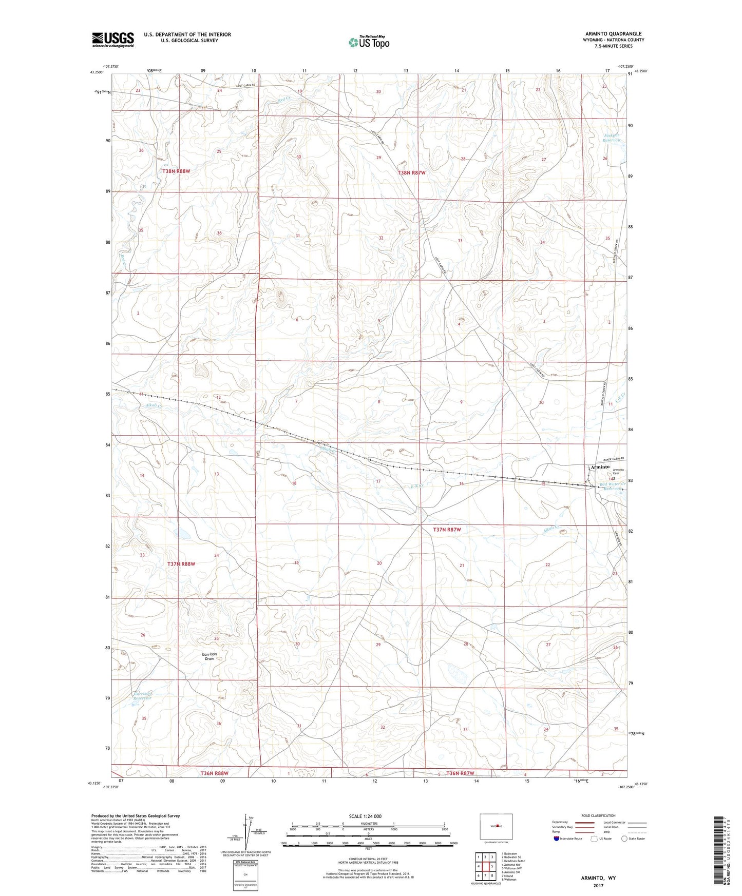
2021 topographic map quadrangle Arminto in the state of Wyoming. Scale: 1:24000. Based on the newly updated USGS 7.5' US Topo map series, this map is in the following counties: Natrona. The map contains contour data, water features, and other items you are used to seeing on USGS maps, but also has updated roads and other features. This is the next generation of topographic maps. Printed on high-quality waterproof paper with UV fade-resistant inks.
Quads adjacent to this one:
West: Arminto NW
Northwest: Badwater
North: Badwater SE
Northeast: Deadman Butte
East: Waltman NW
Southeast: Waltman
South: Hiland
Southwest: Arminto SW
This map covers the same area as the classic USGS quad with code o43107b3.
Contains the following named places: Antelope Dam, Antelope Reservoir, Arminto, Arminto Cemetery, Bad Water Creek Dam, Bad Water Creek Reservoir, Bridge Dam, Bridge Reservoir, Carlson Ranch, Charlotte Dam, Charlotte Reservoir, Donlin Dam, Donlin Reservoir, E-K Creek, Garrison Reservoir, Jackpot Reservoir, Lynx Dam, Lynx Reservoir, Red Creek Dam, Red Creek Reservoir, ZIP Code: 82630