MyTopo
Barras Springs Wyoming US Topo Map
Couldn't load pickup availability
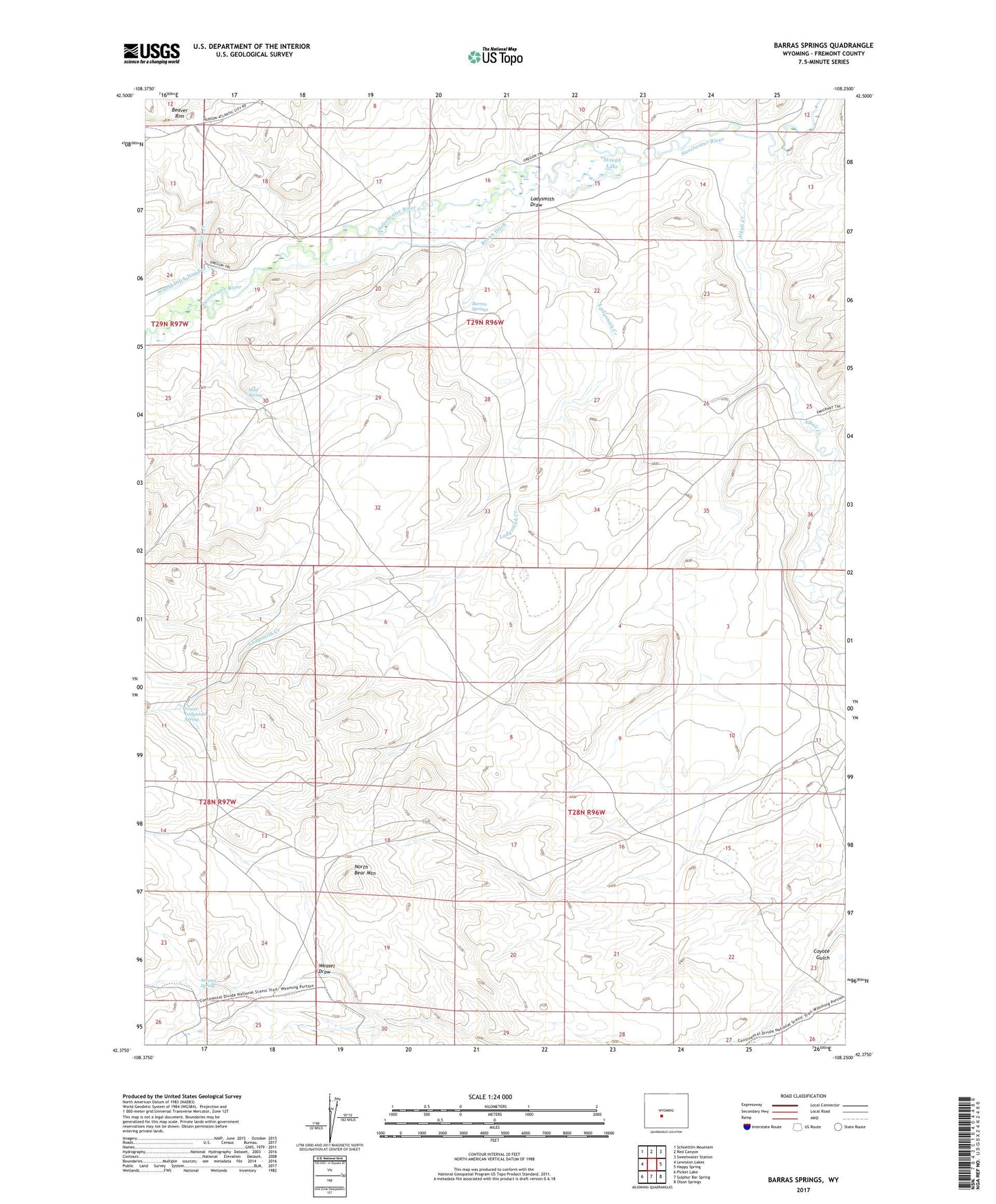
2021 topographic map quadrangle Barras Springs in the state of Wyoming. Scale: 1:24000. Based on the newly updated USGS 7.5' US Topo map series, this map is in the following counties: Fremont. The map contains contour data, water features, and other items you are used to seeing on USGS maps, but also has updated roads and other features. This is the next generation of topographic maps. Printed on high-quality waterproof paper with UV fade-resistant inks.
Quads adjacent to this one:
West: Lewiston Lakes
Northwest: Schoettlin Mountain
North: Red Canyon
Northeast: Sweetwater Station
East: Happy Spring
Southeast: Olson Springs
South: Sulphur Bar Spring
Southwest: Picket Lake
Contains the following named places: Alkali Creek, Barras Springs, Brown Ditch, Ellis Ranch, Ladysmith Creek, Ladysmith Draw, Lower Ladysmith Spring, Mud Spring, North Bear Mountain, Saint Marys Station, Silver Creek, Stough Lake, Weasel Draw, Weasel Spring