MyTopo
Browns Hill Wyoming US Topo Map
Couldn't load pickup availability
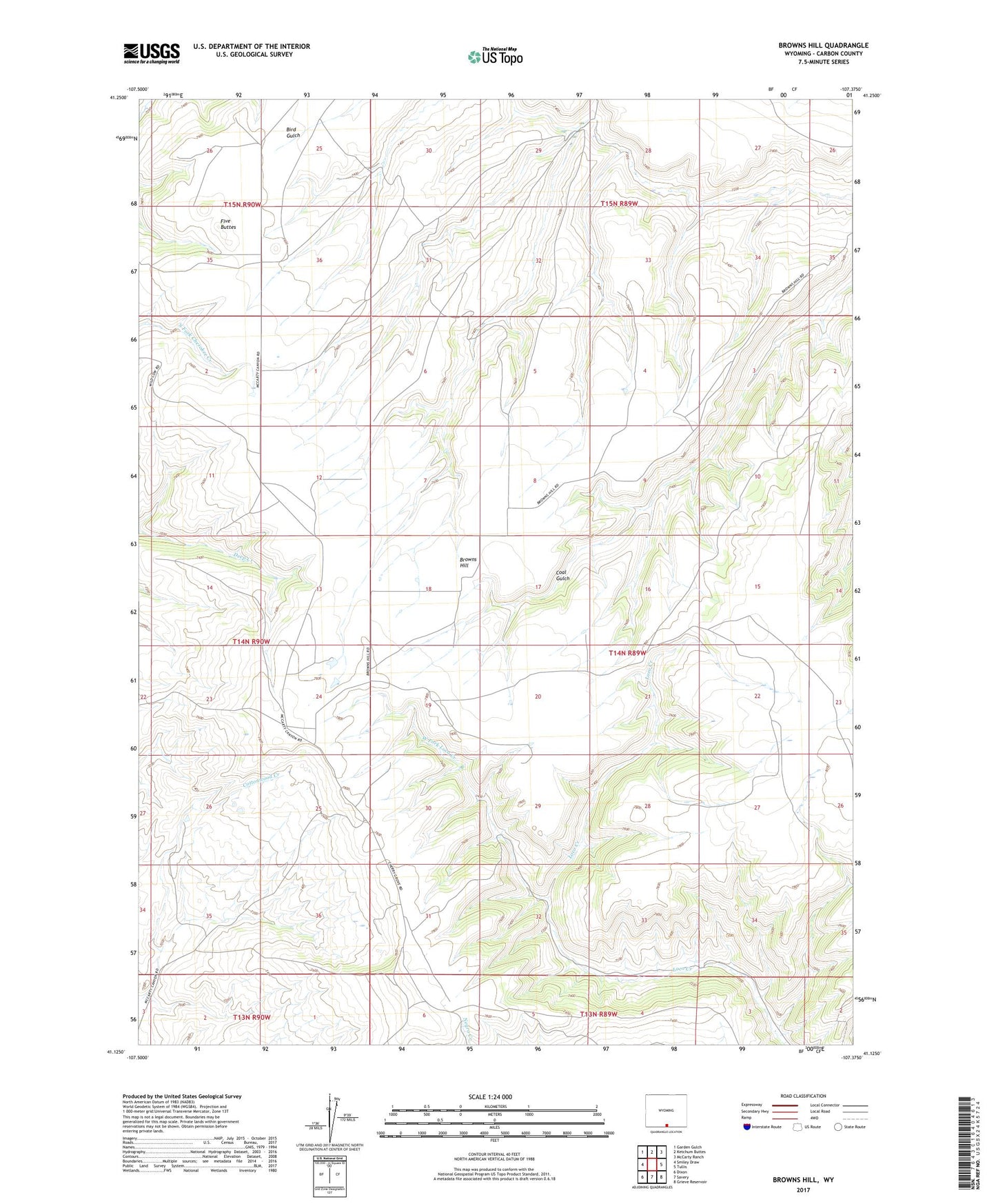
2021 topographic map quadrangle Browns Hill in the state of Wyoming. Scale: 1:24000. Based on the newly updated USGS 7.5' US Topo map series, this map is in the following counties: Carbon. The map contains contour data, water features, and other items you are used to seeing on USGS maps, but also has updated roads and other features. This is the next generation of topographic maps. Printed on high-quality waterproof paper with UV fade-resistant inks.
Quads adjacent to this one:
West: Smiley Draw
Northwest: Garden Gulch
North: Ketchum Buttes
Northeast: McCarty Ranch
East: Tullis
Southeast: Grieve Reservoir
South: Savery
Southwest: Dixon
This map covers the same area as the classic USGS quad with code o41107b4.
Contains the following named places: Beavers Dam, Beavers Reservoir, Browns Hill, Five Buttes, Stratton Corral, West Fork, West Fork Loco Creek