MyTopo
Broken Horn Creek Wyoming US Topo Map
Couldn't load pickup availability
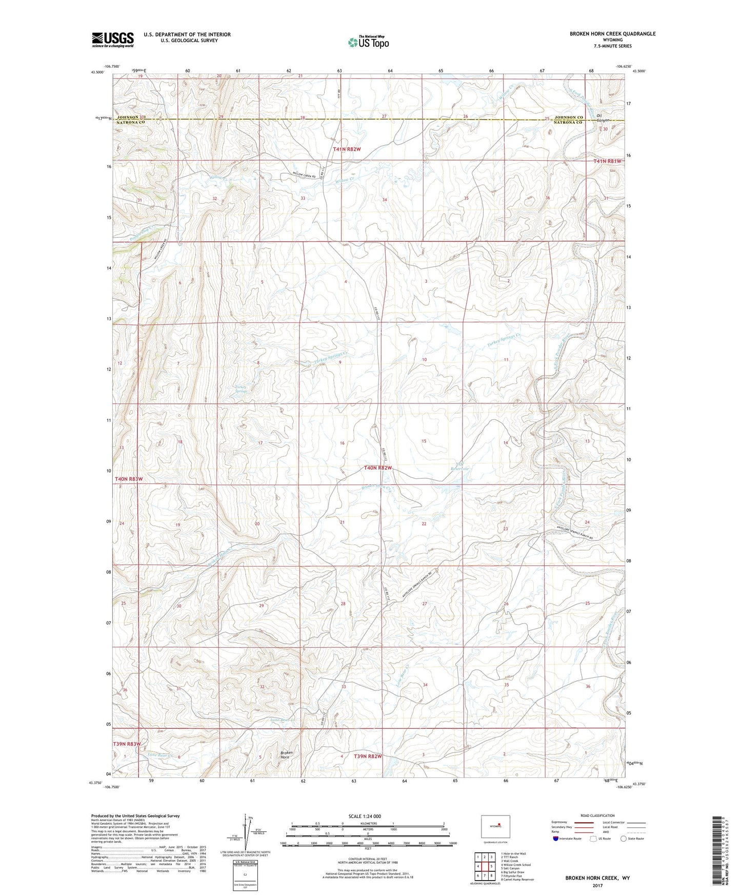
2021 topographic map quadrangle Broken Horn Creek in the state of Wyoming. Scale: 1:24000. Based on the newly updated USGS 7.5' US Topo map series, this map is in the following counties: Natrona, Johnson. The map contains contour data, water features, and other items you are used to seeing on USGS maps, but also has updated roads and other features. This is the next generation of topographic maps. Printed on high-quality waterproof paper with UV fade-resistant inks.
Quads adjacent to this one:
West: Willow Creek School
Northwest: Hole-in-the-Wall
North: TTT Ranch
Northeast: Wall Creek
East: Salt Canyon
Southeast: Camel Hump Reservoir
South: Fiftymile Flat
Southwest: Big Sulfur Draw
This map covers the same area as the classic USGS quad with code o43106d6.
Contains the following named places: Broken Horn Creek, Dead Horse Creek, Firnekas Dam, Firnekas Reservoir, Grass Creek, Kaycee Bentonite Corporation Number Four Mine, Kaycee Bentonite Corporation Number One Mine, Kaycee Bentonite Corporation Number Three Mine, Kaycee Bentonite Corporation Number Two Mine, Lone Bear Creek, Neff Reservoir, Oil Canyon, Poodle Dog Creek, South Fork Lone Bear Creek, Turkey Springs, Turkey Springs Creek, Well Riley Ranch