MyTopo
Cowley Wyoming US Topo Map
Couldn't load pickup availability
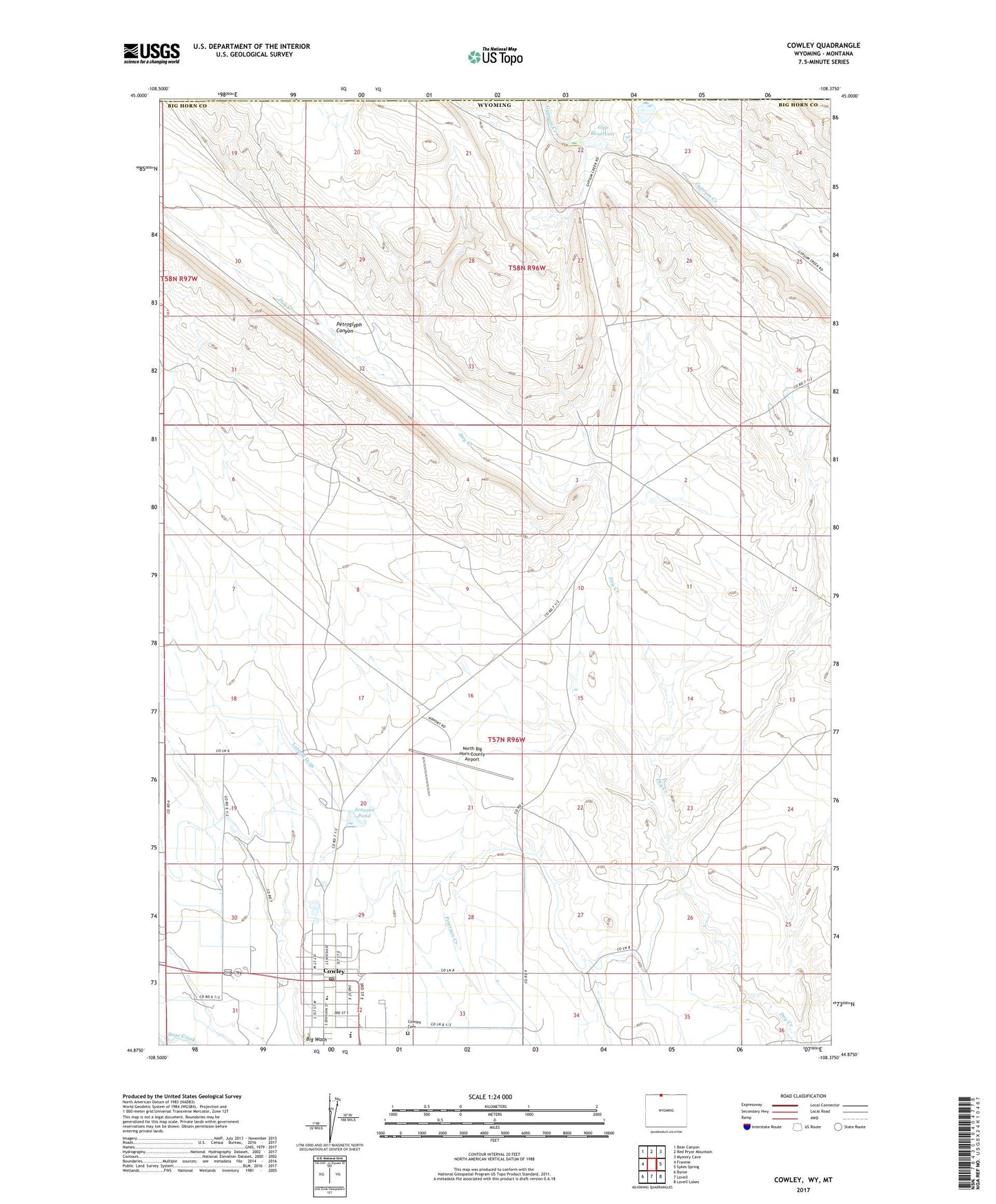
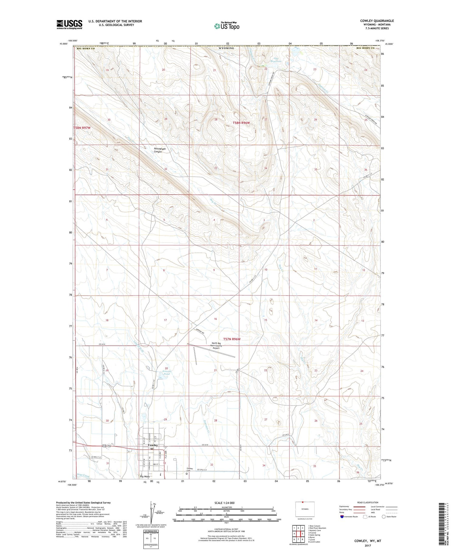
2021 topographic map quadrangle Cowley in the state of Wyoming. Scale: 1:24000. Based on the newly updated USGS 7.5' US Topo map series, this map is in the following counties: Big Horn, Carbon. The map contains contour data, water features, and other items you are used to seeing on USGS maps, but also has updated roads and other features. This is the next generation of topographic maps. Printed on high-quality waterproof paper with UV fade-resistant inks.
Quads adjacent to this one:
West: Frannie
Northwest: Bear Canyon
North: Red Pryor Mountain
Northeast: Mystery Cave
East: Sykes Spring
Southeast: Lovell Lakes
South: Lovell
Southwest: Byron
Contains the following named places: Cowley, Cowley Cemetery, Cowley Post Office, Cowley School, Dry Creek Number One Mine, Dry Creek Number Two Mine, Gyp Reservoir, Gyp Reservoir Dam, Jensons Pond, North Big Horn County Airport, North of Cowley Mine, Petroglyph Canyon, Teeples Dam, Teeples Reservoir, Town of Cowley, ZIP Code: 82420