MyTopo
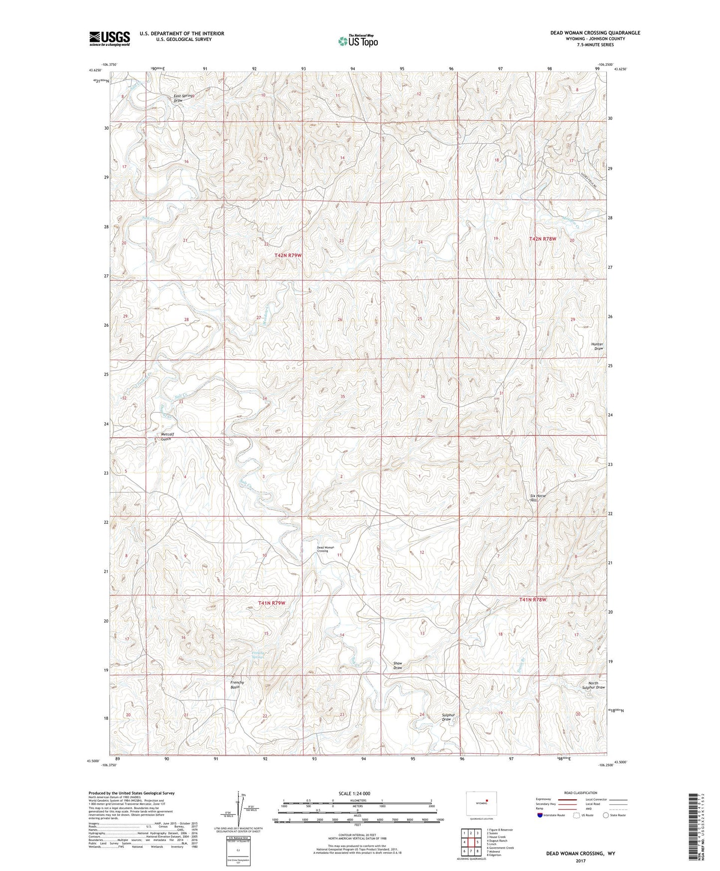
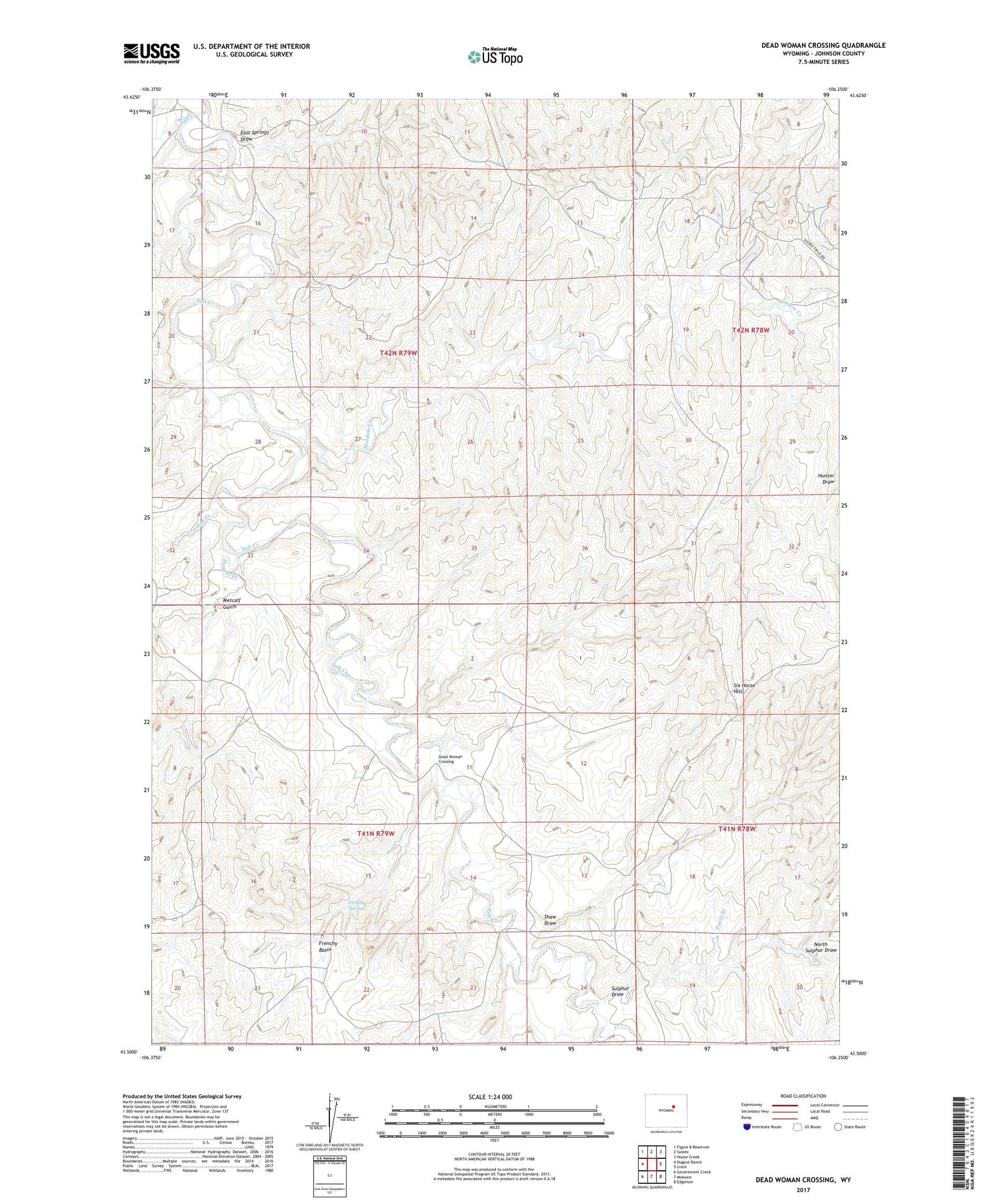
Dead Woman Crossing Wyoming US Topo Map
Couldn't load pickup availability
2021 topographic map quadrangle Dead Woman Crossing in the state of Wyoming. Scale: 1:24000. Based on the newly updated USGS 7.5' US Topo map series, this map is in the following counties: Johnson. The map contains contour data, water features, and other items you are used to seeing on USGS maps, but also has updated roads and other features. This is the next generation of topographic maps. Printed on high-quality waterproof paper with UV fade-resistant inks.
Quads adjacent to this one:
West: Dugout Ranch
Northwest: Figure 8 Reservoir
North: Sussex
Northeast: House Creek
East: Linch
Southeast: Edgerton
South: Midwest
Southwest: Government Creek
Contains the following named places: Crooked Creek, Davis Branch, Dead Woman Crossing, Dugout Creek, East Spring Draw, Frenchy Basin, Frenchy Springs, Meadow Creek, Metcalf Gulch, North Sulphur Draw, Shaw Draw, Six Horse Hill, Sulphur Draw