MyTopo
Dickie Springs Wyoming US Topo Map
Couldn't load pickup availability
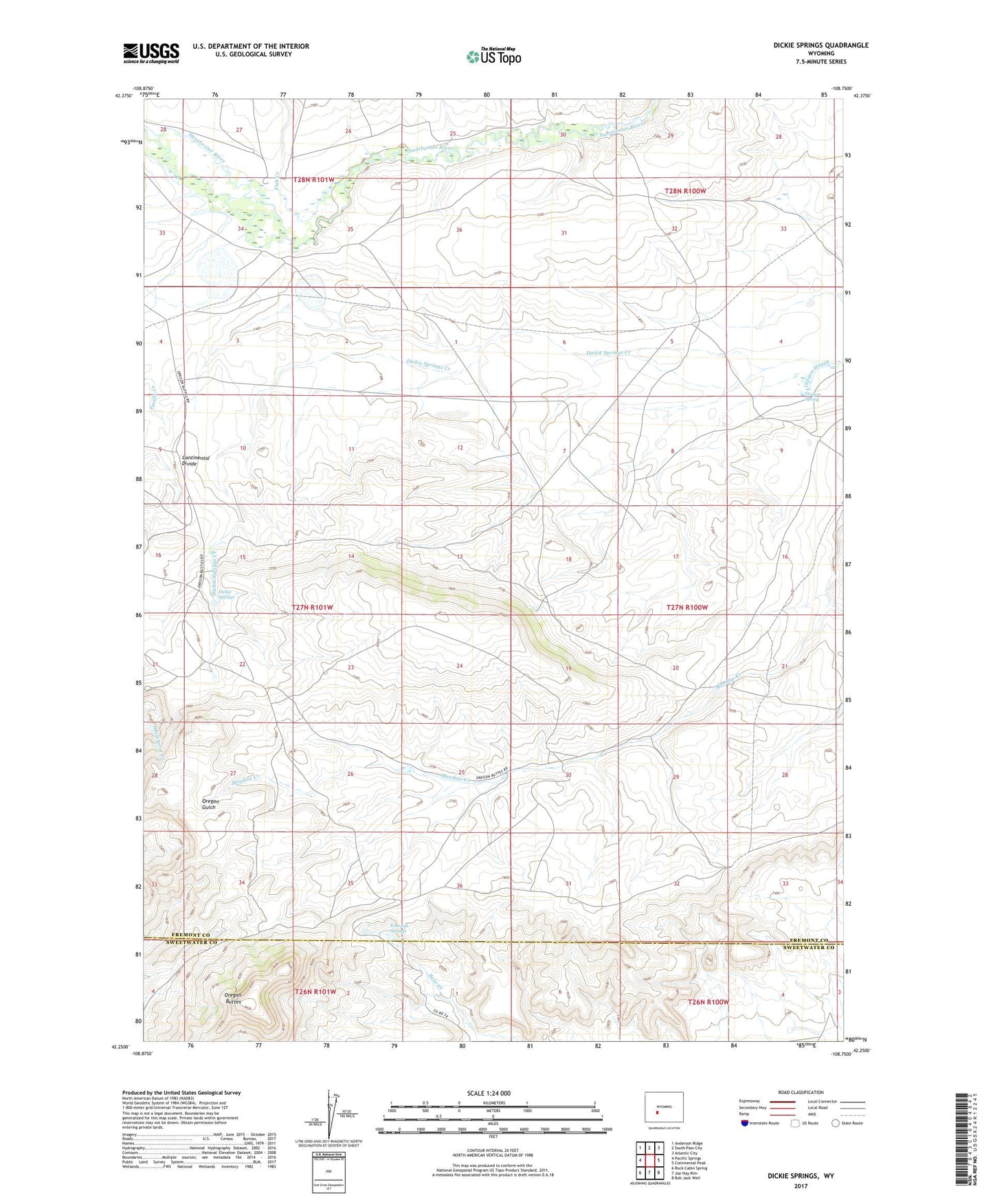
2021 topographic map quadrangle Dickie Springs in the state of Wyoming. Scale: 1:24000. Based on the newly updated USGS 7.5' US Topo map series, this map is in the following counties: Fremont, Sweetwater. The map contains contour data, water features, and other items you are used to seeing on USGS maps, but also has updated roads and other features. This is the next generation of topographic maps. Printed on high-quality waterproof paper with UV fade-resistant inks.
Quads adjacent to this one:
West: Pacific Springs
Northwest: Anderson Ridge
North: South Pass City
Northeast: Atlantic City
East: Continental Peak
Southeast: Bob Jack Well
South: Joe Hay Rim
Southwest: Rock Cabin Spring
This map covers the same area as the classic USGS quad with code o42108c7.
Contains the following named places: Dickie Springs, Dickie Springs Creek, Dickie Springs-Oregon Gulch Number One Mine, Edmund Springs, Fish Creek, Hay Ranch, Oregon Buttes, Oregon Buttes Area Mine, Oregon Spring, Sand Creek Mine