MyTopo
Anderson Ridge Wyoming US Topo Map
Couldn't load pickup availability
Also explore the Anderson Ridge Forest Service Topo of this same quad for updated USFS data
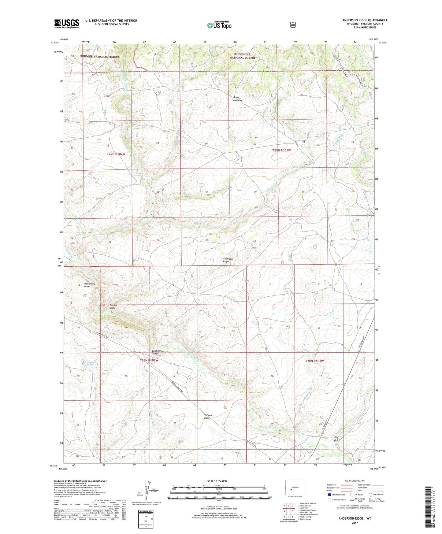
2021 topographic map quadrangle Anderson Ridge in the state of Wyoming. Scale: 1:24000. Based on the newly updated USGS 7.5' US Topo map series, this map is in the following counties: Fremont. The map contains contour data, water features, and other items you are used to seeing on USGS maps, but also has updated roads and other features. This is the next generation of topographic maps. Printed on high-quality waterproof paper with UV fade-resistant inks.
Quads adjacent to this one:
West: Halls Meadow Spring
Northwest: Sweetwater Needles
North: Christina Lake
Northeast: Louis Lake
East: South Pass City
Southeast: Dickie Springs
South: Pacific Springs
Southwest: Hay Meadow Reservoir
This map covers the same area as the classic USGS quad with code o42108d8.
Contains the following named places: Anderson Homestead, Anderson Ridge, Burnt Meadow, East Sweetwater River, Fog Gulch, Gold Creek, Jack Creek, Jack Ranch, Lander Creek, Little Pine Creek, Mill Creek, Monument Spring, Palmer Draw, Rinker Ditch, Sharps Meadows Creek, Shelter House