MyTopo
Guild Hollow Wyoming US Topo Map
Couldn't load pickup availability
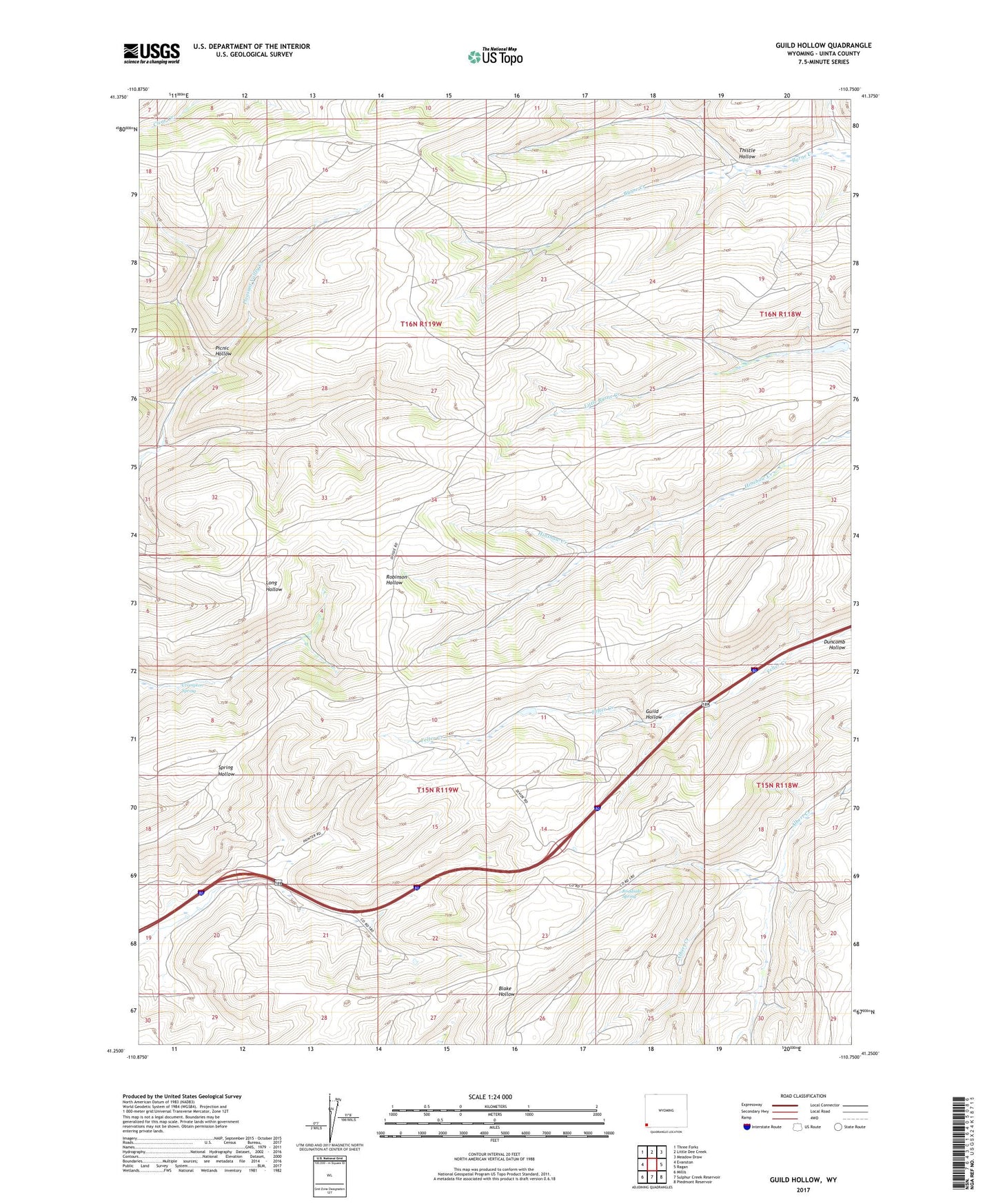
2021 topographic map quadrangle Guild Hollow in the state of Wyoming. Scale: 1:24000. Based on the newly updated USGS 7.5' US Topo map series, this map is in the following counties: Uinta. The map contains contour data, water features, and other items you are used to seeing on USGS maps, but also has updated roads and other features. This is the next generation of topographic maps. Printed on high-quality waterproof paper with UV fade-resistant inks.
Quads adjacent to this one:
West: Evanston
Northwest: Three Forks
North: Little Dee Creek
Northeast: Meadow Draw
East: Ragan
Southeast: Piedmont Reservoir
South: Sulphur Creek Reservoir
Southwest: Millis
This map covers the same area as the classic USGS quad with code o41110c7.
Contains the following named places: Broadbent Number 2 Dam, Broadbent Number 2 Reservoir, Crompton Spring, Evanston Division, Guild Hollow, Picnic Hollow, R.L. Connelly Mine, Roadside Spring, Thistle Hollow