MyTopo
Hat Creek Wyoming US Topo Map
Couldn't load pickup availability
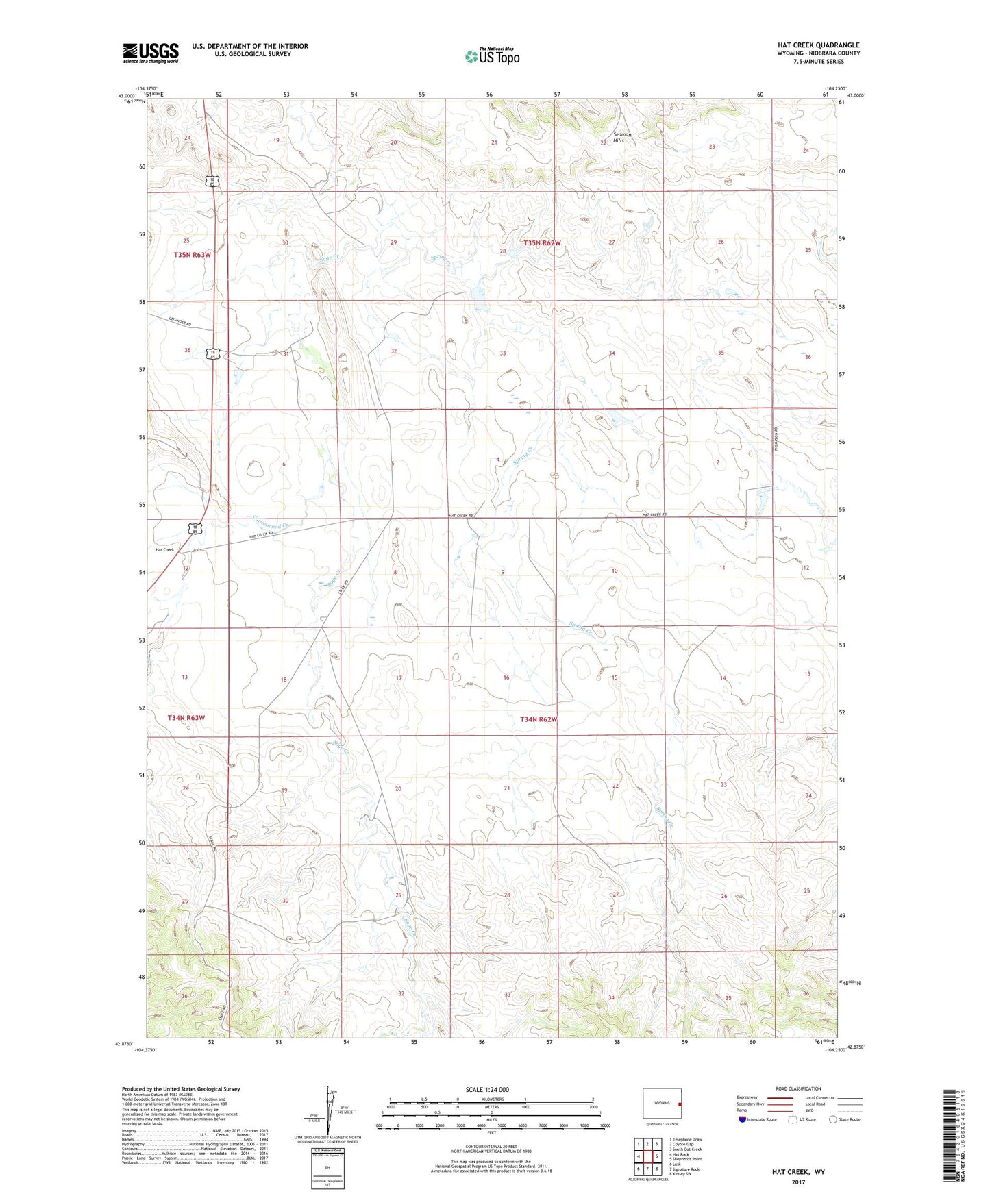
2021 topographic map quadrangle Hat Creek in the state of Wyoming. Scale: 1:24000. Based on the newly updated USGS 7.5' US Topo map series, this map is in the following counties: Niobrara. The map contains contour data, water features, and other items you are used to seeing on USGS maps, but also has updated roads and other features. This is the next generation of topographic maps. Printed on high-quality waterproof paper with UV fade-resistant inks.
Quads adjacent to this one:
West: Hat Rock
Northwest: Telephone Draw
North: Coyote Gap
Northeast: South Oat Creek
East: Shepherds Point
Southeast: Kirtley SW
South: Signature Rock
Southwest: Lusk
This map covers the same area as the classic USGS quad with code o42104h3.
Contains the following named places: Cottonwood Creek, Fields Dam, Fields Reservoir, Hat Creek, Hat Creek Club House, Old Hat Creek Stage Station, Partridge Number 1 Dam, Partridge Number 1 Reservoir, Sadie Hanson Dam, Sadie Hanson Reservoir, Spring Creek