MyTopo
South Oat Creek Wyoming US Topo Map
Couldn't load pickup availability
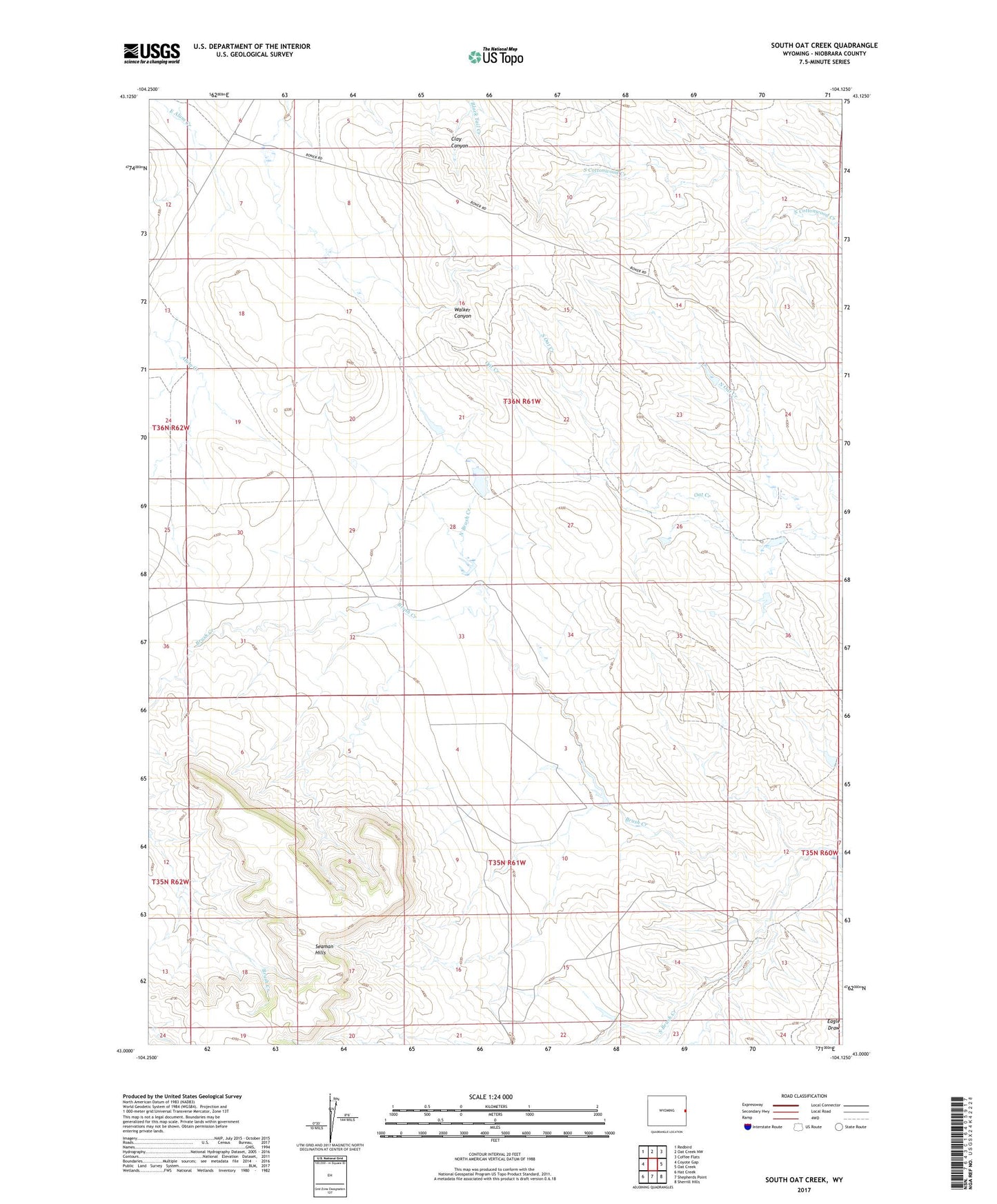
2021 topographic map quadrangle South Oat Creek in the state of Wyoming. Scale: 1:24000. Based on the newly updated USGS 7.5' US Topo map series, this map is in the following counties: Niobrara. The map contains contour data, water features, and other items you are used to seeing on USGS maps, but also has updated roads and other features. This is the next generation of topographic maps. Printed on high-quality waterproof paper with UV fade-resistant inks.
Quads adjacent to this one:
West: Coyote Gap
Northwest: Redbird
North: Oat Creek NW
Northeast: Coffee Flats
East: Oat Creek
Southeast: Sherrill Hills
South: Shepherds Point
Southwest: Hat Creek
This map covers the same area as the classic USGS quad with code o43104a2.
Contains the following named places: Clay Canyon, North Brush Creek, North Oat Creek, Pfister Number 2 Dam, Pfister Number 2 Reservoir, South Brush Creek, South Oat Creek, Stock Water Dam, Stock Water Reservoir, Walker Canyon, Wallace Number 2 Dam, Wallace Number 2 Reservoir, ZIP Code: 82225