MyTopo
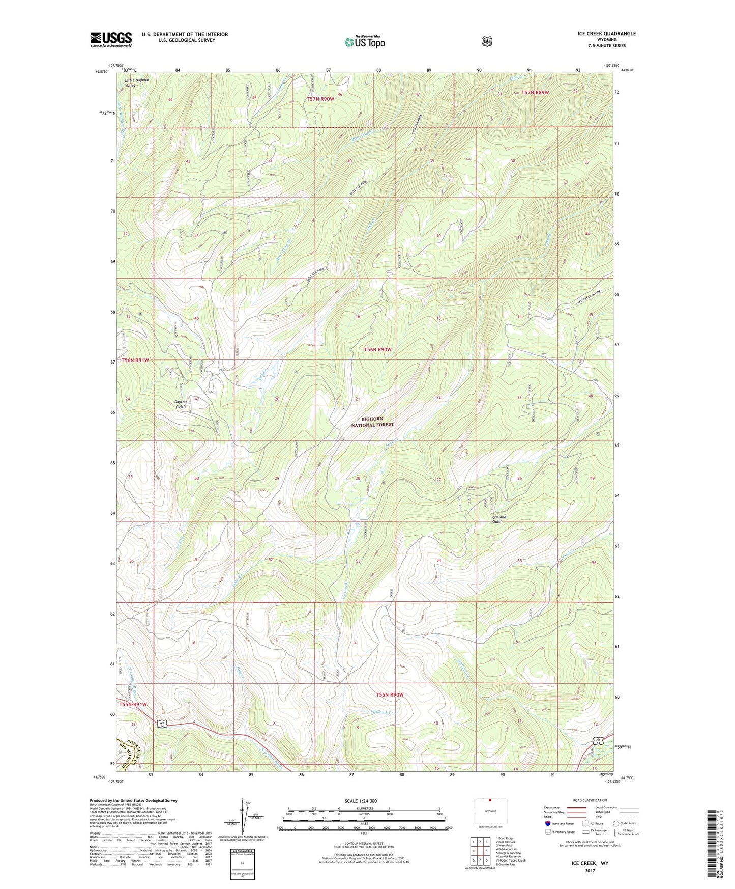
Ice Creek Wyoming US Topo Map
Couldn't load pickup availability
Also explore the Ice Creek Forest Service Topo of this same quad for updated USFS data
2021 topographic map quadrangle Ice Creek in the state of Wyoming. Scale: 1:24000. Based on the newly updated USGS 7.5' US Topo map series, this map is in the following counties: Sheridan, Big Horn. The map contains contour data, water features, and other items you are used to seeing on USGS maps, but also has updated roads and other features. This is the next generation of topographic maps. Printed on high-quality waterproof paper with UV fade-resistant inks.
Quads adjacent to this one:
West: Bald Mountain
Northwest: Boyd Ridge
North: Bull Elk Park
Northeast: West Pass
East: Burgess Junction
Southeast: Granite Pass
South: Hidden Tepee Creek
Southwest: Leavitt Reservoir
This map covers the same area as the classic USGS quad with code o44107g6.
Contains the following named places: Burgess Road Overlook, Ice Creek, Kane Cow Camp, Pole Creek