MyTopo
Marse Wyoming US Topo Map
Couldn't load pickup availability
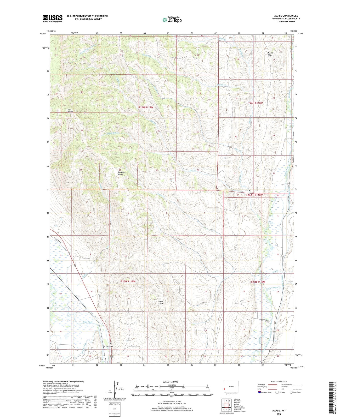
2021 topographic map quadrangle Marse in the state of Wyoming. Scale: 1:24000. Based on the newly updated USGS 7.5' US Topo map series, this map is in the following counties: Lincoln. The map contains contour data, water features, and other items you are used to seeing on USGS maps, but also has updated roads and other features. This is the next generation of topographic maps. Printed on high-quality waterproof paper with UV fade-resistant inks.
Quads adjacent to this one:
West: Border
Northwest: Geneva
North: Huff Lake
Northeast: Big Park
East: Nugent Park
Southeast: Sublette Canyon
South: Cokeville
Southwest: Boundary Ridge
This map covers the same area as the classic USGS quad with code o42110b8.
Contains the following named places: Chalk Creek, Chappel Creek, Corral Creek, Emelle Ditch, First Creek, Grade Canyon Creek, Hawkins Creek, Marse, Mill Creek, Muddy Creek, Muddy Ridge, Noblitt Ditch, Perry and Partridge Ditch, Potato Creek, Salt Creek, Second Creek, South Fork Mill Creek, The Narrows, Third Creek