MyTopo
Boundary Ridge Idaho US Topo Map
Couldn't load pickup availability
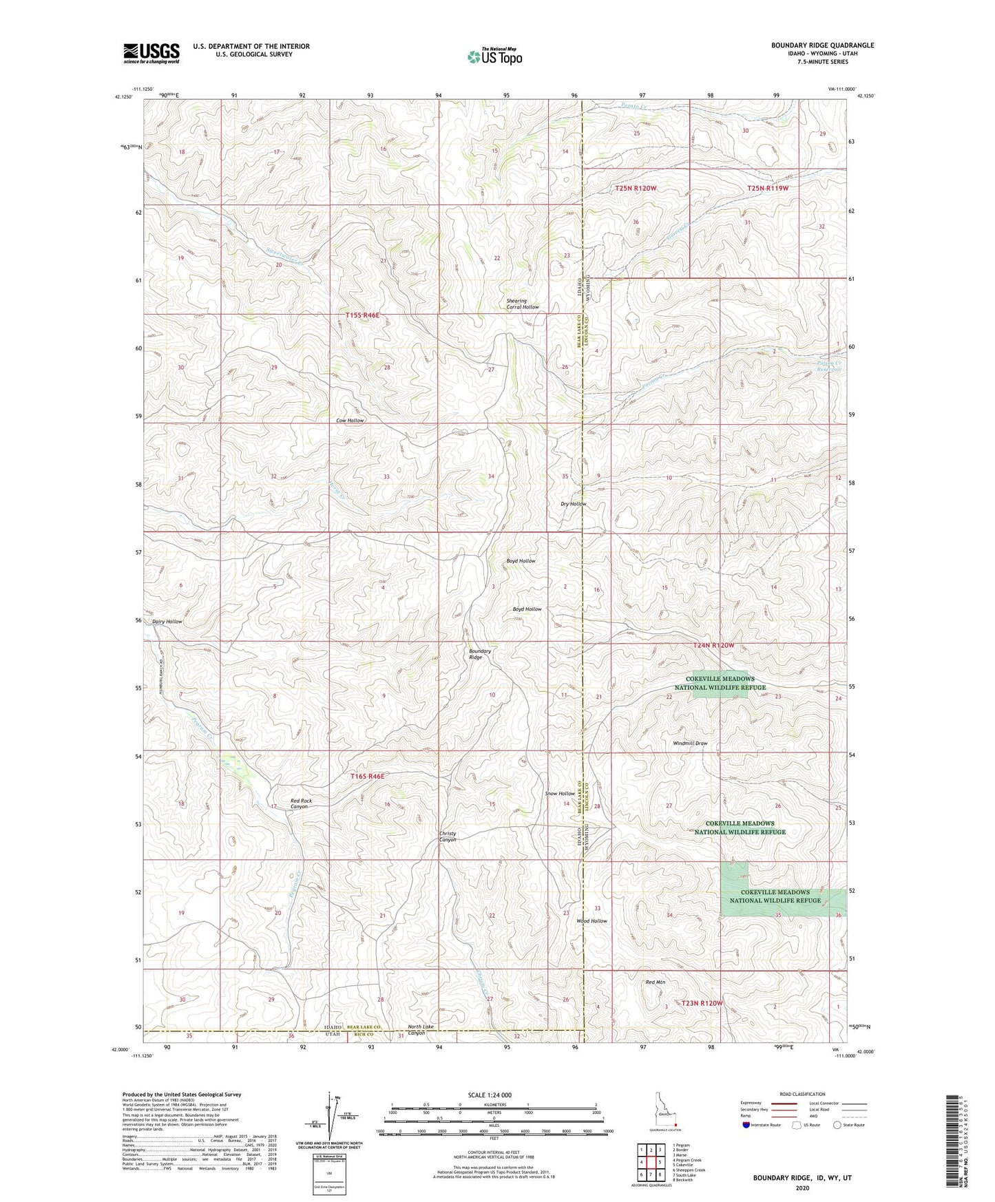
2023 topographic map quadrangle Boundary Ridge in the states of Idaho, Wyoming. Scale: 1:24000. Based on the newly updated USGS 7.5' US Topo map series, this map is in the following counties: Bear Lake, Lincoln, Rich. The map contains contour data, water features, and other items you are used to seeing on USGS maps, but also has updated roads and other features. This is the next generation of topographic maps. Printed on high-quality waterproof paper with UV fade-resistant inks.
Quads adjacent to this one:
West: Pegram Creek
Northwest: Pegram
North: Border
Northeast: Marse
East: Cokeville
Southeast: Beckwith
South: South Lake
Southwest: Sheeppen Creek
Contains the following named places: Boundary Ridge, Dairy Hollow, Poison Creek Dam, Poison Creek Reservoir, Red Mountain, Red Rock Canyon, Taylor Meadow