MyTopo
Marshall Wyoming US Topo Map
Couldn't load pickup availability
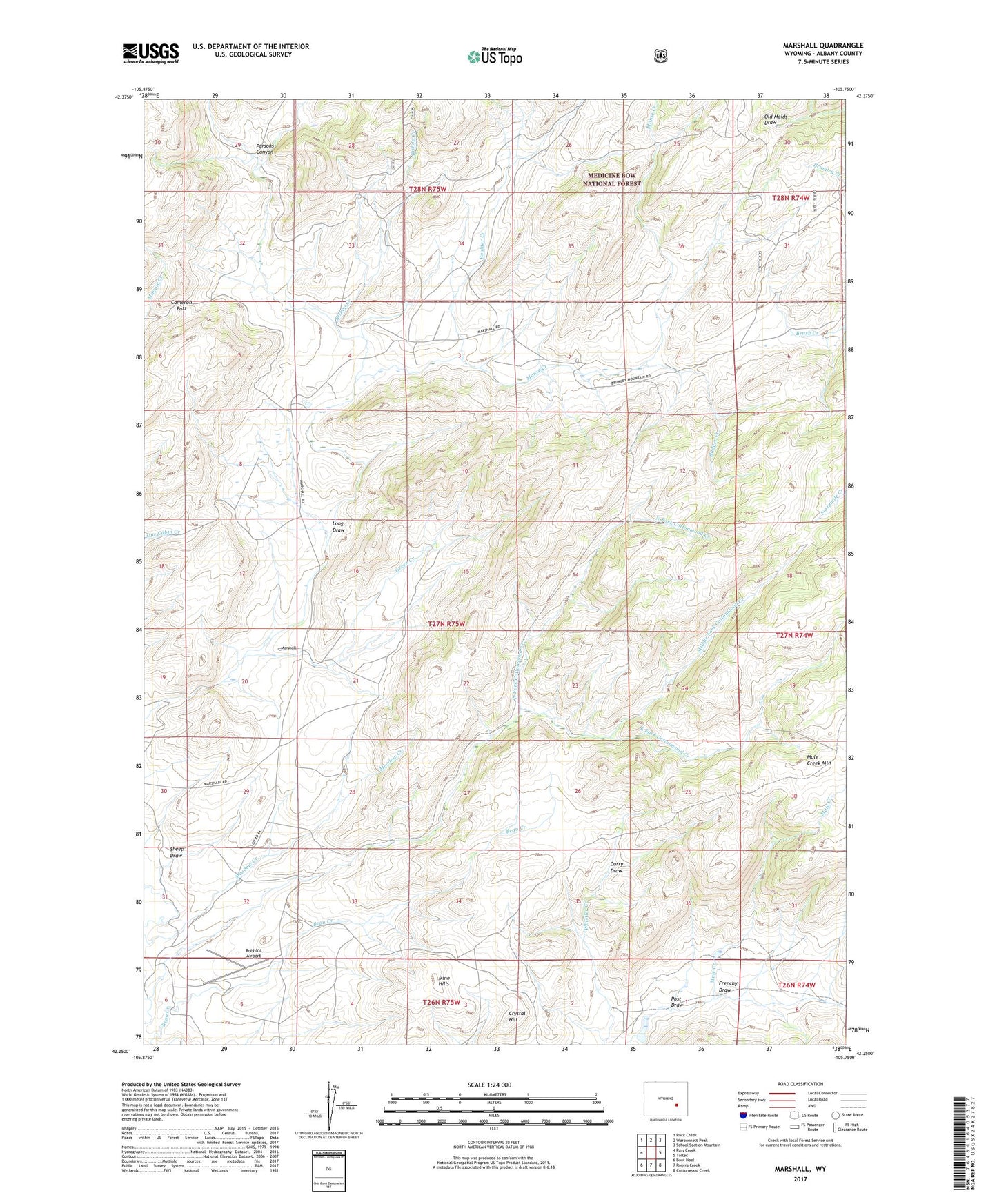
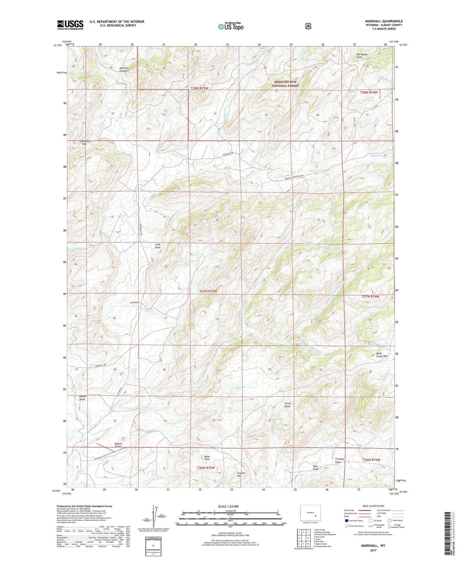
2021 topographic map quadrangle Marshall in the state of Wyoming. Scale: 1:24000. Based on the newly updated USGS 7.5' US Topo map series, this map is in the following counties: Albany. The map contains contour data, water features, and other items you are used to seeing on USGS maps, but also has updated roads and other features. This is the next generation of topographic maps. Printed on high-quality waterproof paper with UV fade-resistant inks.
Quads adjacent to this one:
West: Pass Creek
Northwest: Rock Creek
North: Warbonnett Peak
Northeast: School Section Mountain
East: Toltec
Southeast: Cottonwood Creek
South: Rogers Creek
Southwest: Boot Heel
Contains the following named places: Badger Creek, Bennett Place, Bishop Creek, Boulder Creek, Cameron Pass, Cottonwood Creek, Crystal Hill, Curry Draw, East Fork Cottonwood Creek, Frenchy Draw, Green Creek, Long Draw, Manse Creek, Marshall, Marshall Area Mine, Middle Fork Cottonwood Creek, Mine Hills, Mule Creek Dam, Mule Creek Reservoir, North Fork Cottonwood Creek, Parsons Canyon, Post Draw, Robbins Airport, Sheep Draw