MyTopo
Strawberry Hill Wyoming US Topo Map
Couldn't load pickup availability
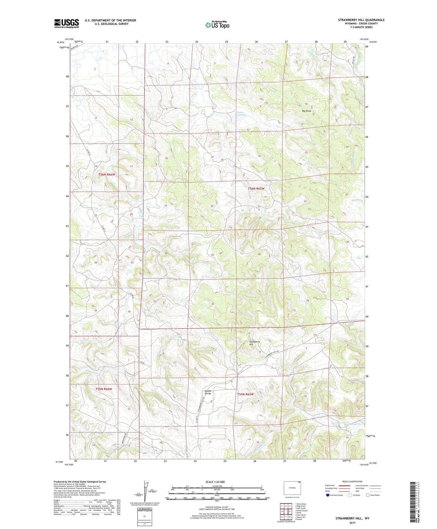
2021 topographic map quadrangle Strawberry Hill in the state of Wyoming. Scale: 1:24000. Based on the newly updated USGS 7.5' US Topo map series, this map is in the following counties: Crook. The map contains contour data, water features, and other items you are used to seeing on USGS maps, but also has updated roads and other features. This is the next generation of topographic maps. Printed on high-quality waterproof paper with UV fade-resistant inks.
Quads adjacent to this one:
West: Wood Canyon
Northwest: Storm Draw
North: Page Draw
Northeast: Gaff Creek
East: Seely
Southeast: Hulett
South: Moore Hill
Southwest: New Haven
This map covers the same area as the classic USGS quad with code o44104g6.
Contains the following named places: A A Johnson Property Mine, Bush Creek, Elkhorn Creek, Elkhorn Creek Mine, Elkhorn School, Foster Dam, Foster Reservoir, Goldie Divide, Goldie School, Happy Hollow School, Pearson Brother Property Mine, Stawberry Hill, Vickers Mine, ZIP Code: 82720