MyTopo
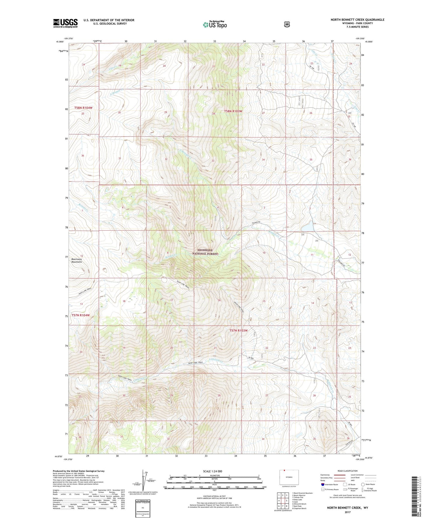
North Bennett Creek Wyoming US Topo Map
Couldn't load pickup availability
Also explore the North Bennett Creek Forest Service Topo of this same quad for updated USFS data
2021 topographic map quadrangle North Bennett Creek in the state of Wyoming. Scale: 1:24000. Based on the newly updated USGS 7.5' US Topo map series, this map is in the following counties: Park. The map contains contour data, water features, and other items you are used to seeing on USGS maps, but also has updated roads and other features. This is the next generation of topographic maps. Printed on high-quality waterproof paper with UV fade-resistant inks.
Quads adjacent to this one:
West: Deep Lake
Northwest: Black Pyramid Mountain
North: Mount Maurice
Northeast: Tolman Flat
East: Clark
Southeast: Chapman Bench
South: Bald Peak
Southwest: Dillworth Bench
This map covers the same area as the classic USGS quad with code o44109h3.
Contains the following named places: Clark Ranch, McClear Ranch, North Bennett Creek, North Line Creek, Tolman Ranch