MyTopo
North Butte Wyoming US Topo Map
Couldn't load pickup availability
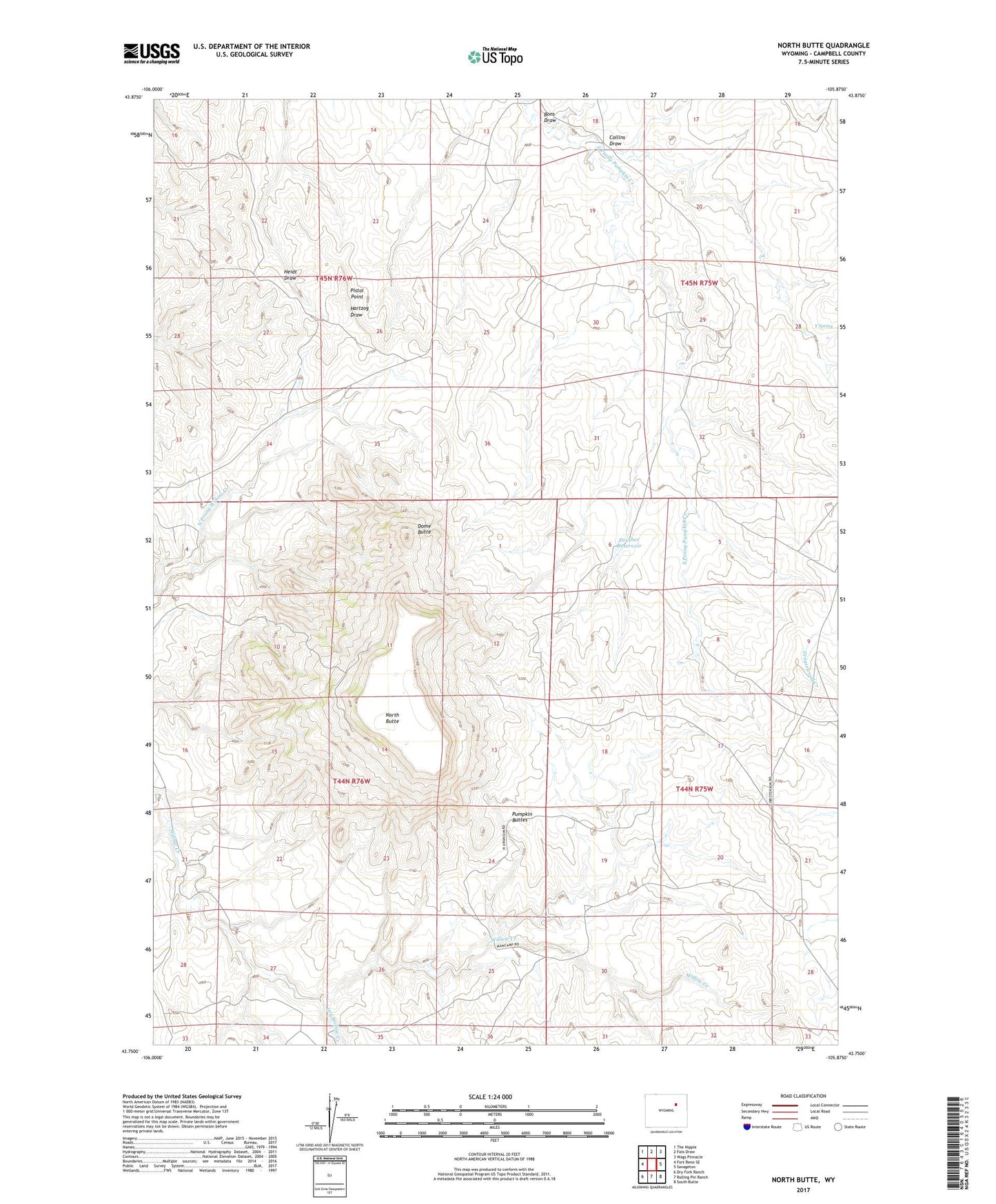
2021 topographic map quadrangle North Butte in the state of Wyoming. Scale: 1:24000. Based on the newly updated USGS 7.5' US Topo map series, this map is in the following counties: Campbell. The map contains contour data, water features, and other items you are used to seeing on USGS maps, but also has updated roads and other features. This is the next generation of topographic maps. Printed on high-quality waterproof paper with UV fade-resistant inks.
Quads adjacent to this one:
West: Fort Reno SE
Northwest: The Nipple
North: Fats Draw
Northeast: Wags Pinnacle
East: Savageton
Southeast: South Butte
South: Rolling Pin Ranch
Southwest: Dry Fork Ranch
Contains the following named places: Bar None Number Forty Claim, Bashawn Mine, Bons Draw, Camp Number One Claim, Christensen Brothers Ranch Mine, Christensen Ranch, Collins Draw, Discovery Roll Mine, Dome Butte, Dome Butte Mine, Dresher Dam, Dresher Reservoir, Dry Willow Creek, Hawley Numbers One-thirty-two Claims, Kerr-McGee Ed Claims Mine, Kerr-McGee Jim Claim Mine, Kerr-McGee School Lease Mine, Lucky Eight Mine, North Butte, Pfister Ranch, Pistol Point, Quigley and Gall Claims, Quigley and Gall Colorado Number One Mine, Rodabaugh Dam, Rodabaugh Reservoir, Simmons Number Two Mine, Y Spring