MyTopo
Pass Creek Wyoming US Topo Map
Couldn't load pickup availability
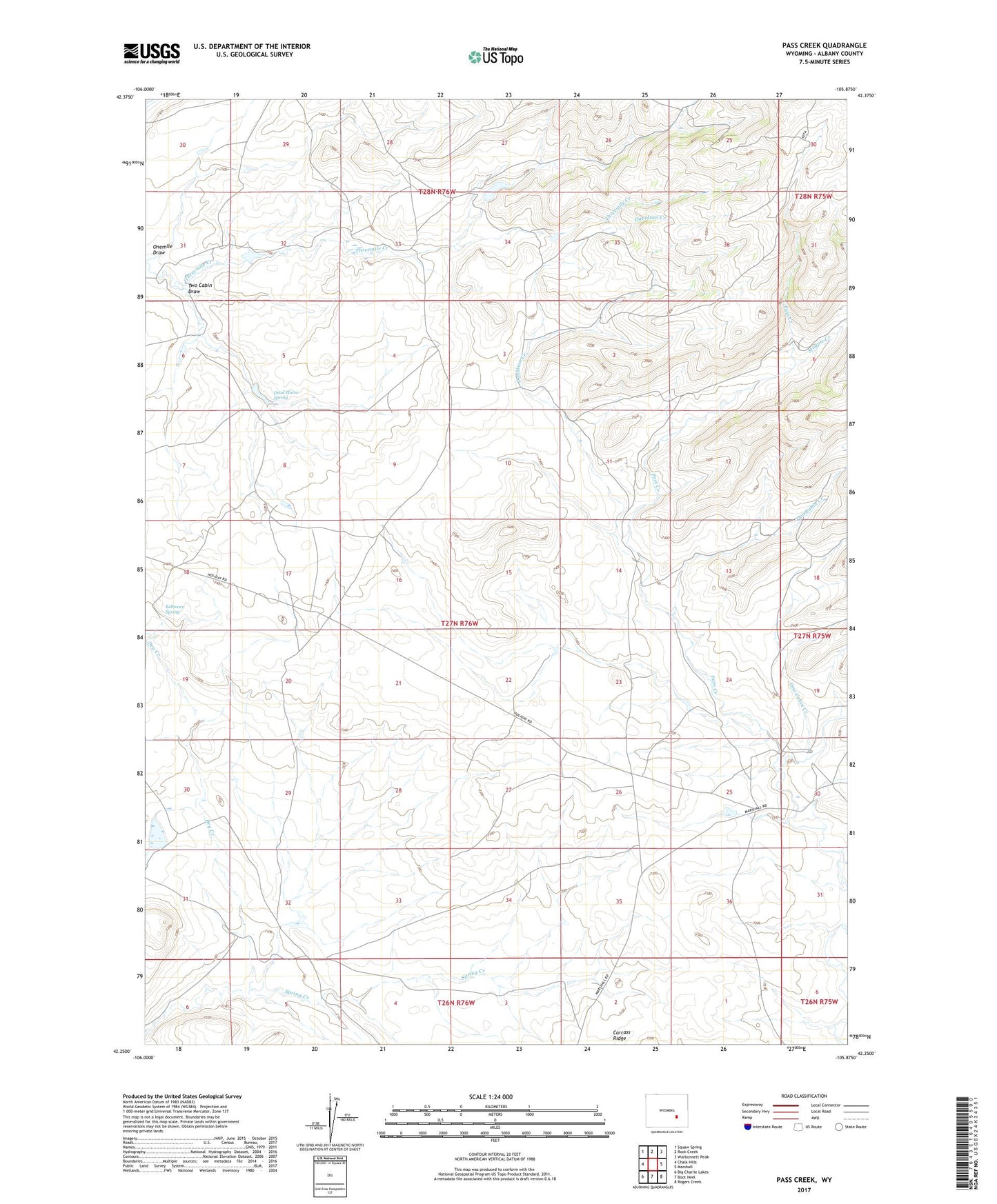
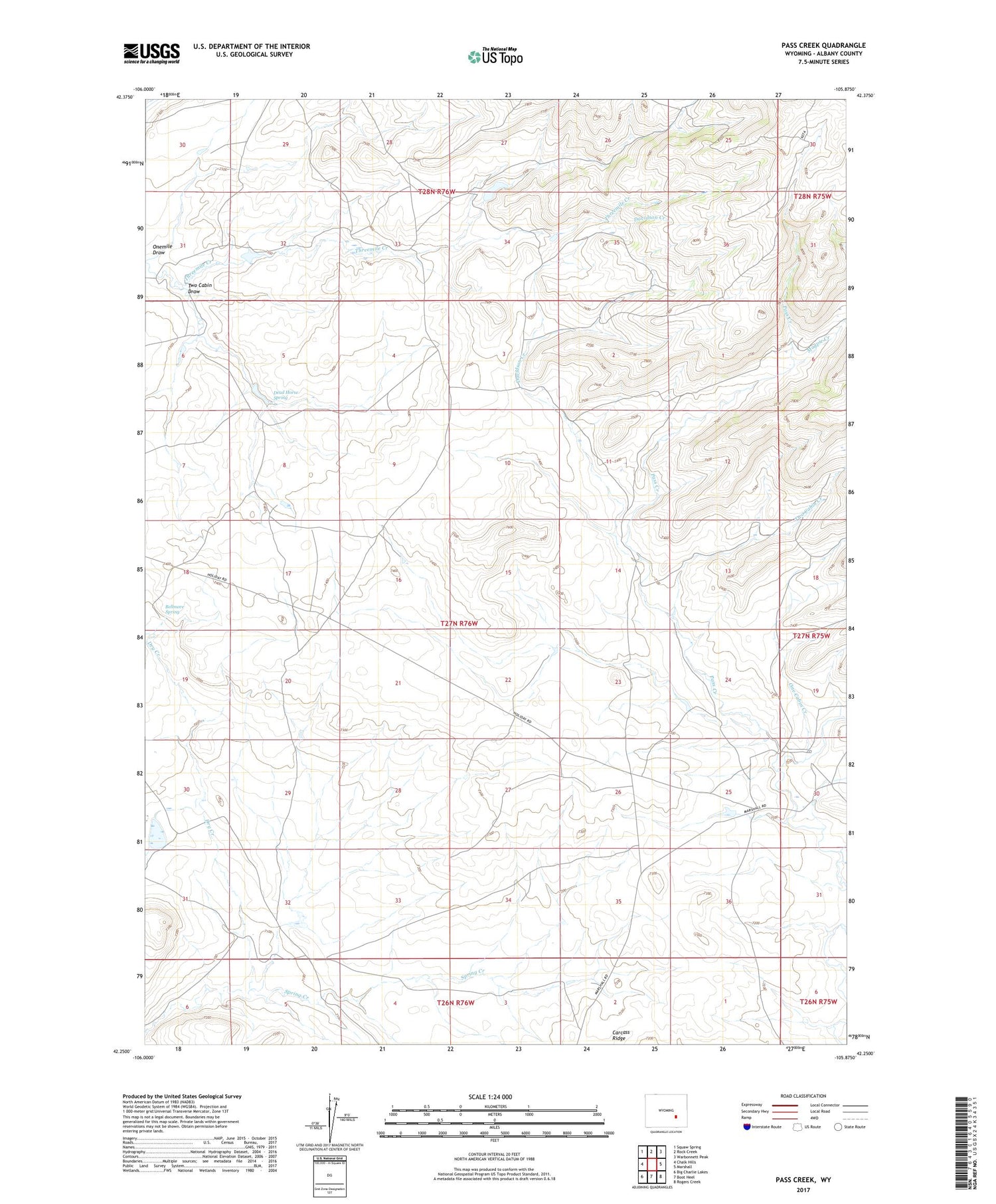
2021 topographic map quadrangle Pass Creek in the state of Wyoming. Scale: 1:24000. Based on the newly updated USGS 7.5' US Topo map series, this map is in the following counties: Albany. The map contains contour data, water features, and other items you are used to seeing on USGS maps, but also has updated roads and other features. This is the next generation of topographic maps. Printed on high-quality waterproof paper with UV fade-resistant inks.
Quads adjacent to this one:
West: Chalk Hills
Northwest: Squaw Spring
North: Rock Creek
Northeast: Warbonnett Peak
East: Marshall
Southeast: Rogers Creek
South: Boot Heel
Southwest: Big Charlie Lakes
Contains the following named places: Bellmore Spring, Bennett Ranch, C P Ranch, Curry Ranch, Davidson Creek, Dead Horse Spring, Dry Creek, Holiday Ranch, Magpie Creek, Meadow Creek, One Cabin Creek, Onemile Draw, Pass Creek, Two Cabin Creek, Two Cabin Draw