MyTopo
Poison Lake Wyoming US Topo Map
Couldn't load pickup availability
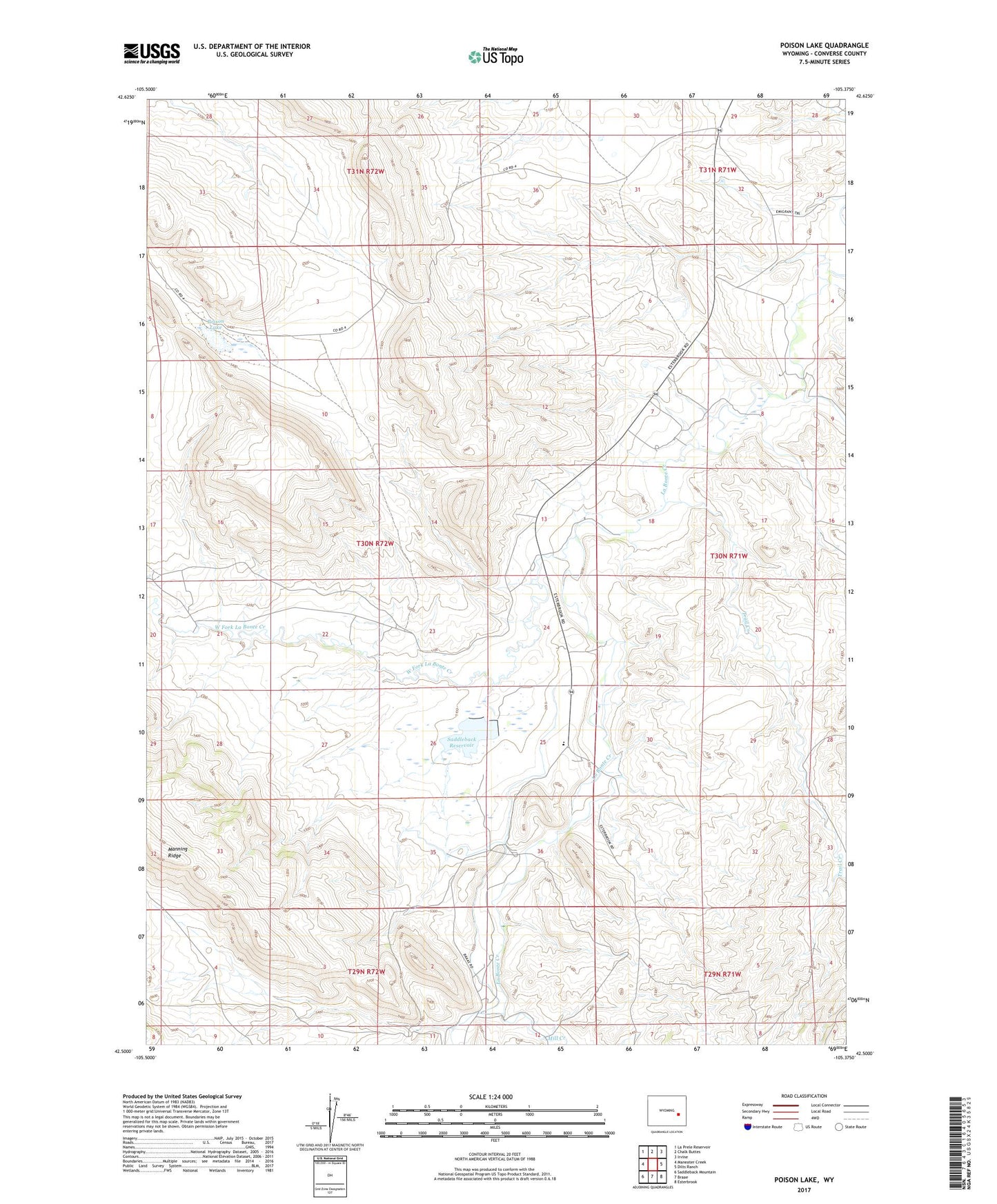
2021 topographic map quadrangle Poison Lake in the state of Wyoming. Scale: 1:24000. Based on the newly updated USGS 7.5' US Topo map series, this map is in the following counties: Converse. The map contains contour data, water features, and other items you are used to seeing on USGS maps, but also has updated roads and other features. This is the next generation of topographic maps. Printed on high-quality waterproof paper with UV fade-resistant inks.
Quads adjacent to this one:
West: Maneater Creek
Northwest: La Prele Reservoir
North: Chalk Buttes
Northeast: Irvine
East: Dilts Ranch
Southeast: Esterbrook
South: Braae
Southwest: Saddleback Mountain
This map covers the same area as the classic USGS quad with code o42105e4.
Contains the following named places: Box Elder Area Mine, Darlington Number 1 Dam, Darlington Reservoir Number 1, Johnson Ranch, Manning Ridge, Mill Creek, Norton Ranch, Nunn Ranch, Old Camp Marshall, Poison Lake, Saddleback Dam, Saddleback Reservoir, Site of Old LaBonte Stage Station, Trail Creek, Trail Number 1 Dam, Trail Reservoir Number 1, West Fork La Bonte Creek, White School, Willox Ranch