
MyTopo
Root Creek Wyoming US Topo Map
Couldn't load pickup availability
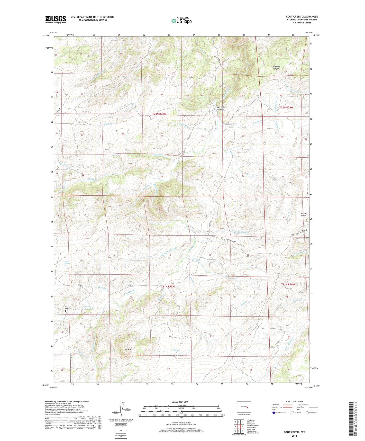
2021 topographic map quadrangle Root Creek in the state of Wyoming. Scale: 1:24000. Based on the newly updated USGS 7.5' US Topo map series, this map is in the following counties: Converse. The map contains contour data, water features, and other items you are used to seeing on USGS maps, but also has updated roads and other features. This is the next generation of topographic maps. Printed on high-quality waterproof paper with UV fade-resistant inks.
Quads adjacent to this one:
West: Protsmans Knob
Northwest: Parkerton
North: Glenrock
Northeast: Careyhurst
East: Hermit Rock
Southeast: Blue Nose Creek
South: Buffalo Peak
Southwest: Buck Peak
Contains the following named places: Badger Prospect, Beach Prospect, Beerman Creek, Camp Creek, Chas Smyth Dam, Chas Smyth Reservoir, Converse County Park, Count Creek, Grant Cemetery, Grant Creek, Grant School, Grant Springs, Gross Creek, Howard Hill, Indian Creek, Jasper Mine, Lacy Mountain, Lindgren Spring Creek, Lone Tree Creek, North Spring Creek, Root Creek, School Creek, Smith Deposit, South Spring Creek, Spring Creek, Stardust Claim, Virden Creek, White Creek, Willow Creek, Willow Dell School, Windy Ridge, Windy Ridge Creek, Wood Creek


