MyTopo
Sodergreen Lake Wyoming US Topo Map
Couldn't load pickup availability
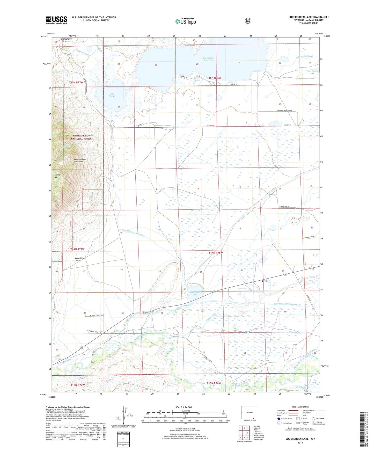
2021 topographic map quadrangle Sodergreen Lake in the state of Wyoming. Scale: 1:24000. Based on the newly updated USGS 7.5' US Topo map series, this map is in the following counties: Albany. The map contains contour data, water features, and other items you are used to seeing on USGS maps, but also has updated roads and other features. This is the next generation of topographic maps. Printed on high-quality waterproof paper with UV fade-resistant inks.
Quads adjacent to this one:
West: Lake Owen
Northwest: Rex Lake
North: Millbrook
Northeast: Miller
East: Caldwell Lake
Southeast: Downey Lakes
South: Jelm Mountain
Southwest: Woods Landing
Contains the following named places: Big Laramie Valley Volunteer Fire Department Station 1, Burg Ditch, Chokecherry Creek, Chokecherry Gulch, Eike Ranch, Engen Ranch, Erickson Ranch, Fellhauer Ranch, Fisher Ditch, Hansen Creek, Harmony School, Harson Ranch, Jenkins Ranch, Johns Creek, Johnson Ranch, Lake Hattie, Lake Hattie Dam, Lake Hattie Reservoir, Lake Hattie Supply Canal, Moonshine Gulch, Olsen Ditch, Orton Ranch, Parker Ditch, Riverside Ditch Number 2, Russell Lake, Sheep Mountain, Short Ranch, Sodergreen High Line Ditch, Sodergreen Lake, Sodergreen Ranch, South Albany Division, Strom Ranch