MyTopo
Stinkingwater Peak Wyoming US Topo Map
Couldn't load pickup availability
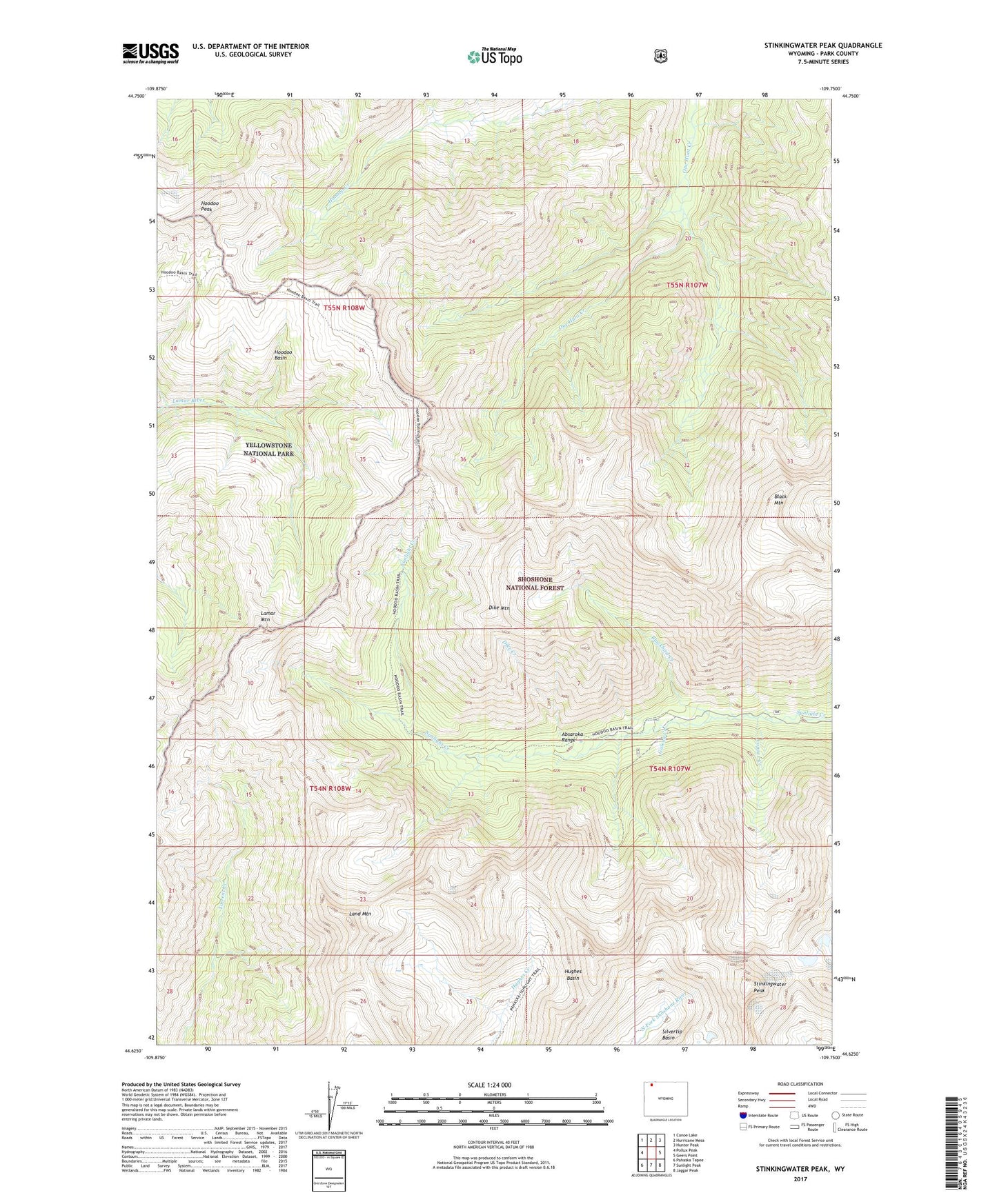
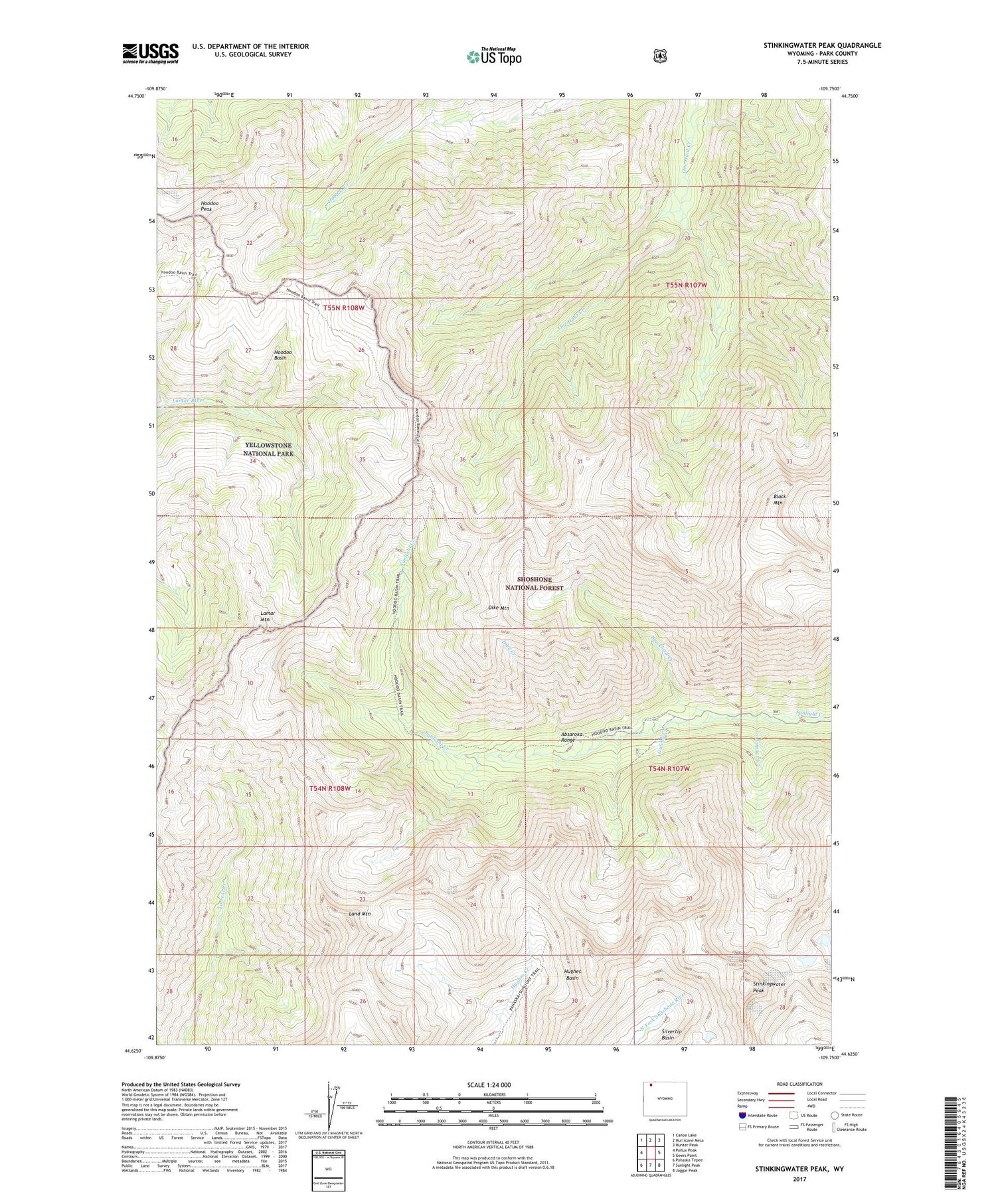
2021 topographic map quadrangle Stinkingwater Peak in the state of Wyoming. Scale: 1:24000. Based on the newly updated USGS 7.5' US Topo map series, this map is in the following counties: Park. The map contains contour data, water features, and other items you are used to seeing on USGS maps, but also has updated roads and other features. This is the next generation of topographic maps. Printed on high-quality waterproof paper with UV fade-resistant inks.
Quads adjacent to this one:
West: Pollux Peak
Northwest: Canoe Lake
North: Hurricane Mesa
Northeast: Hunter Peak
East: Geers Point
Southeast: Jaggar Peak
South: Sunlight Peak
Southwest: Pahaska Tepee
Contains the following named places: Arrow Creek, Black Mountain, Blackbird Creek, Copper Creek, Dike Creek, Dike Mountain, Evening Star Mine, Galena Creek, Hardee Cabins, Hoodoo Basin, Hoodoo Peak, Hughes Basin, Lamar Mountain, Land Mountain, Novelty Mine, Painter Cabin, Painter Mine, Stinkingwater Peak, Sunlight Mining Region