MyTopo
Hurricane Mesa Wyoming US Topo Map
Couldn't load pickup availability
Also explore the Hurricane Mesa Forest Service Topo of this same quad for updated USFS data
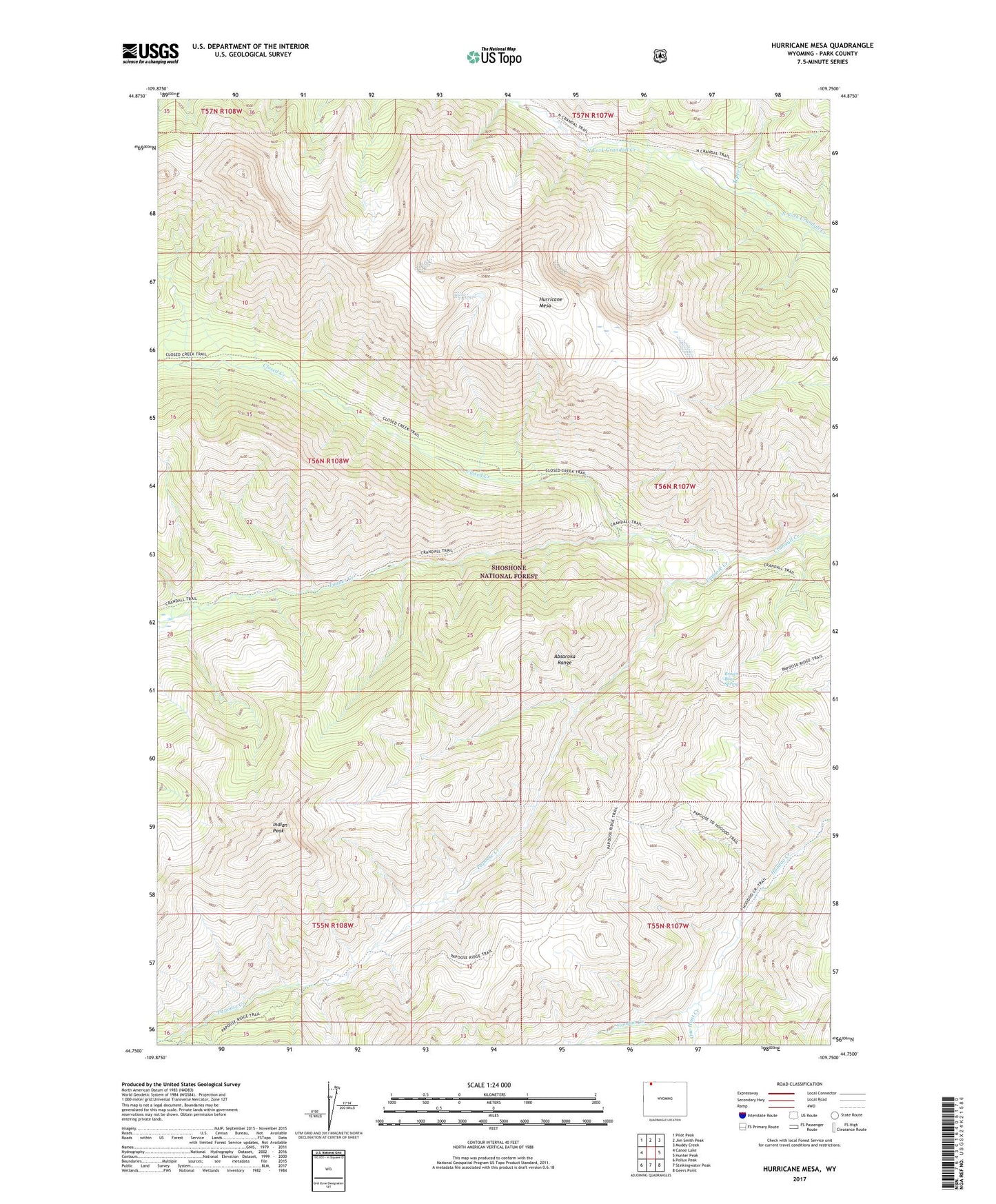
2021 topographic map quadrangle Hurricane Mesa in the state of Wyoming. Scale: 1:24000. Based on the newly updated USGS 7.5' US Topo map series, this map is in the following counties: Park. The map contains contour data, water features, and other items you are used to seeing on USGS maps, but also has updated roads and other features. This is the next generation of topographic maps. Printed on high-quality waterproof paper with UV fade-resistant inks.
Quads adjacent to this one:
West: Canoe Lake
Northwest: Pilot Peak
North: Jim Smith Peak
Northeast: Muddy Creek
East: Hunter Peak
Southeast: Geers Point
South: Stinkingwater Peak
Southwest: Pollux Peak
This map covers the same area as the classic USGS quad with code o44109g7.
Contains the following named places: Brown Bear Spring, Closed Creek, Crandall Trail, Hurricane Mesa, Indian Peak, One Hunt Creek, Papoose Creek, Papoose Trail, Tepee Creek, Timber Creek