MyTopo
Titsworth Gap Wyoming US Topo Map
Couldn't load pickup availability
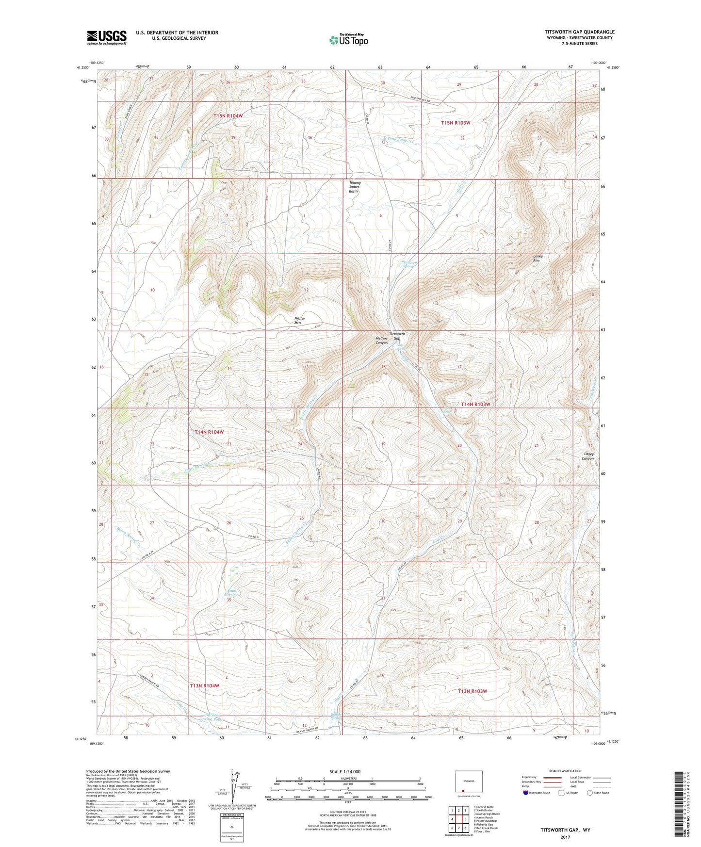
2021 topographic map quadrangle Titsworth Gap in the state of Wyoming. Scale: 1:24000. Based on the newly updated USGS 7.5' US Topo map series, this map is in the following counties: Sweetwater. The map contains contour data, water features, and other items you are used to seeing on USGS maps, but also has updated roads and other features. This is the next generation of topographic maps. Printed on high-quality waterproof paper with UV fade-resistant inks.
Quads adjacent to this one:
West: Maxon Ranch
Northwest: Earnest Butte
North: South Baxter
Northeast: Mud Springs Ranch
East: Potter Mountain
Southeast: Four J Rim
South: Red Creek Ranch
Southwest: Richards Gap
This map covers the same area as the classic USGS quad with code o41109b1.
Contains the following named places: Beans Spring, Beans Spring Creek, Buffalo Spring, Chicken Spring Pond, Gap Spring, Iron Spring, Laney Rim, Little Basin Creek, Little Basin Ranch, McCort Canyon, Titsworth Gap, Titsworth Spring, Tommy James Basin, Tommy James Creek