MyTopo
Earnest Butte Wyoming US Topo Map
Couldn't load pickup availability
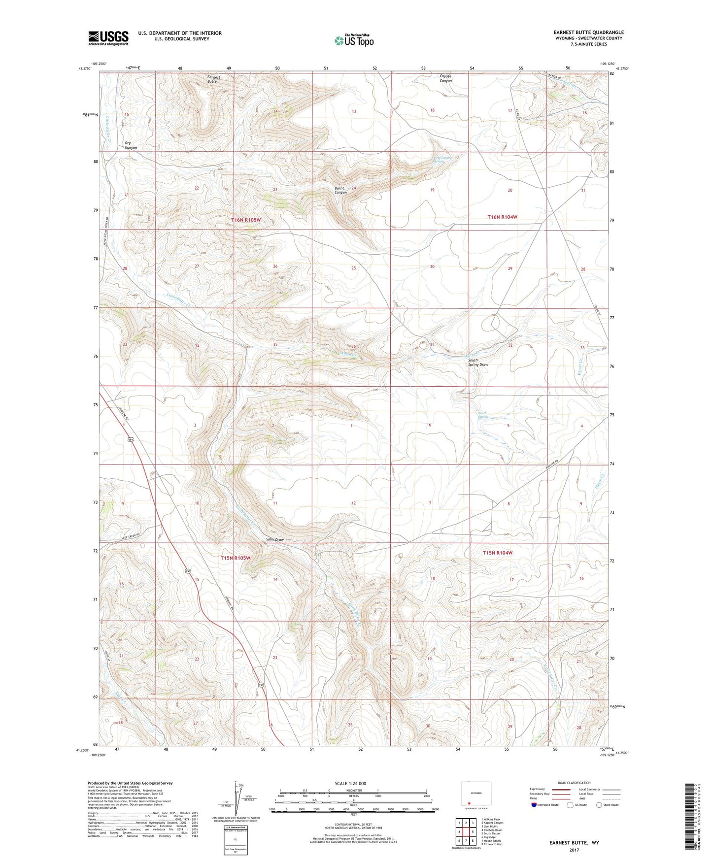
2021 topographic map quadrangle Earnest Butte in the state of Wyoming. Scale: 1:24000. Based on the newly updated USGS 7.5' US Topo map series, this map is in the following counties: Sweetwater. The map contains contour data, water features, and other items you are used to seeing on USGS maps, but also has updated roads and other features. This is the next generation of topographic maps. Printed on high-quality waterproof paper with UV fade-resistant inks.
Quads adjacent to this one:
West: Firehole Basin
Northwest: Wilkins Peak
North: Kappes Canyon
Northeast: Lion Bluffs
East: South Baxter
Southeast: Titsworth Gap
South: Maxon Ranch
Southwest: Big Ridge
This map covers the same area as the classic USGS quad with code o41109c2.
Contains the following named places: Burnt Canyon, Dry Canyon, Dry Canyon Spring, Earnest Butte, Menkeinney Mine, Sally Draw, South Spring, South Spring Draw, Worm Creek