MyTopo
TTT Ranch Wyoming US Topo Map
Couldn't load pickup availability
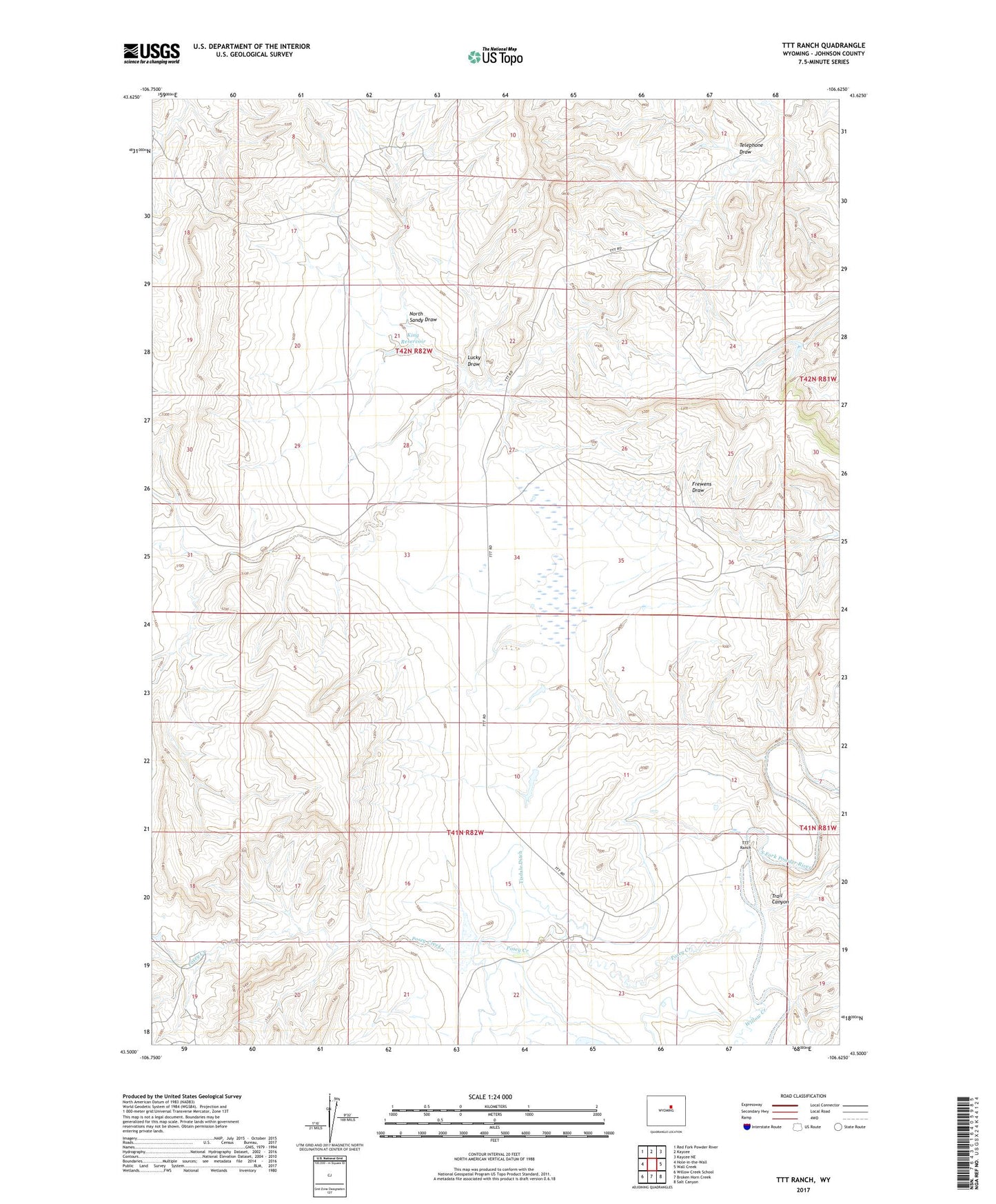
2021 topographic map quadrangle TTT Ranch in the state of Wyoming. Scale: 1:24000. Based on the newly updated USGS 7.5' US Topo map series, this map is in the following counties: Johnson. The map contains contour data, water features, and other items you are used to seeing on USGS maps, but also has updated roads and other features. This is the next generation of topographic maps. Printed on high-quality waterproof paper with UV fade-resistant inks.
Quads adjacent to this one:
West: Hole-in-the-Wall
Northwest: Red Fork Powder River
North: Kaycee
Northeast: Kaycee NE
East: Wall Creek
Southeast: Salt Canyon
South: Broken Horn Creek
Southwest: Willow Creek School
Contains the following named places: Ellis Dam, Ellis Reservoir, King Reservoir, Lucky Draw, North Sandy Draw, Posey Creek, Roy Rinker Homestead, South Posey Creek, Telephone Draw, Tisdale Ditch, Trail Canyon, TTT Ranch, Willow Creek