MyTopo
Waltman NW Wyoming US Topo Map
Couldn't load pickup availability
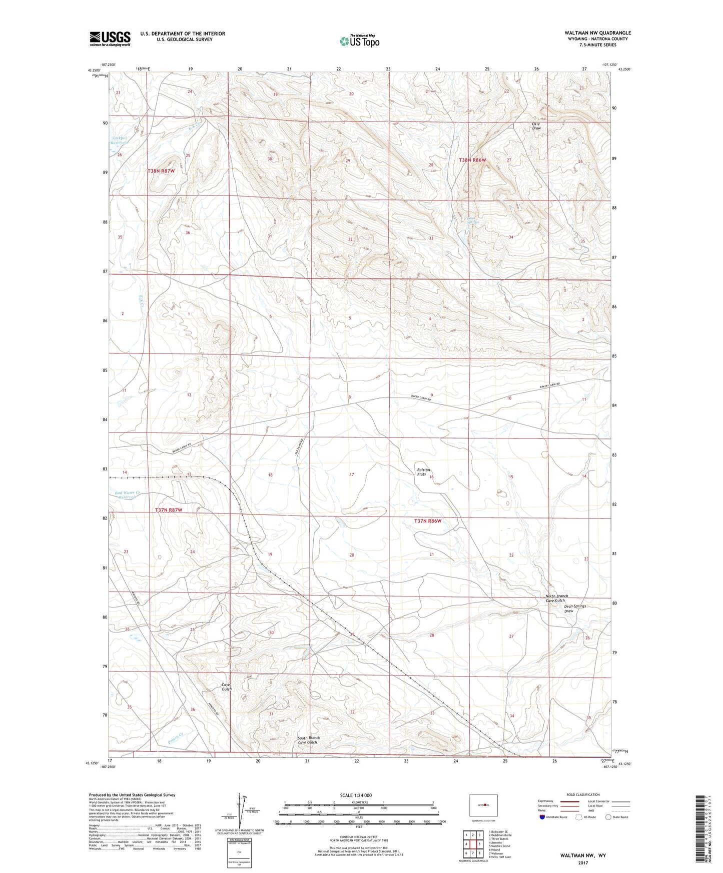
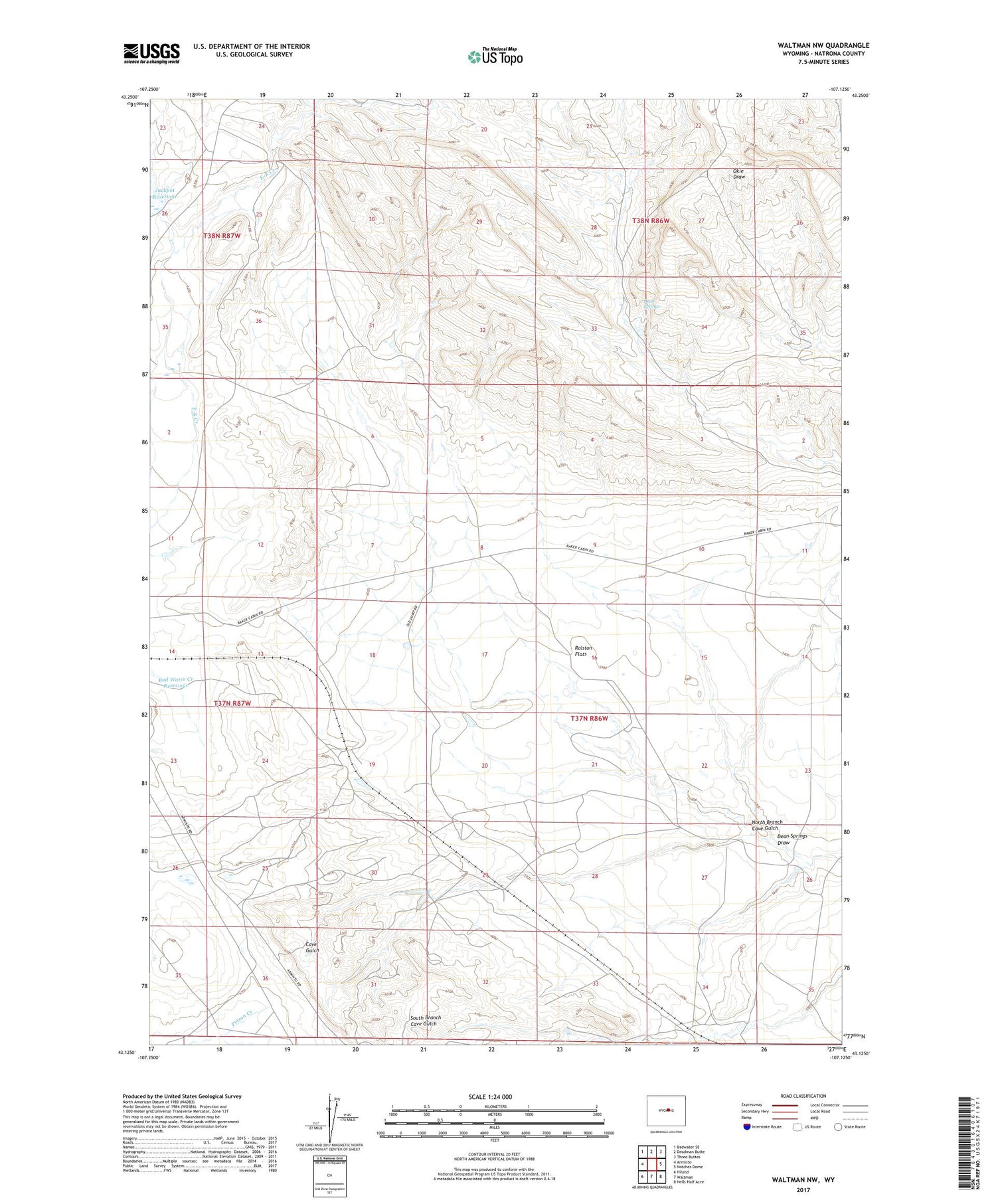
2021 topographic map quadrangle Waltman NW in the state of Wyoming. Scale: 1:24000. Based on the newly updated USGS 7.5' US Topo map series, this map is in the following counties: Natrona. The map contains contour data, water features, and other items you are used to seeing on USGS maps, but also has updated roads and other features. This is the next generation of topographic maps. Printed on high-quality waterproof paper with UV fade-resistant inks.
Quads adjacent to this one:
West: Arminto
Northwest: Badwater SE
North: Deadman Butte
Northeast: Three Buttes
East: Notches Dome
Southeast: Hells Half Acre
South: Waltman
Southwest: Hiland
Contains the following named places: Dean Springs, Dean Springs Dam, Dean Springs Draw, Dean Springs Reservoir, Dry Hole Dam, Dry Hole Reservoir, Jack Pot Dam, Maple Ranch, McClellan Ranch, North Branch Cave Gulch, Ralston Flats, Rochelle Dam, Rochelle Ranch, Rochelle Reservoir