MyTopo
Webb Draw Wyoming US Topo Map
Couldn't load pickup availability
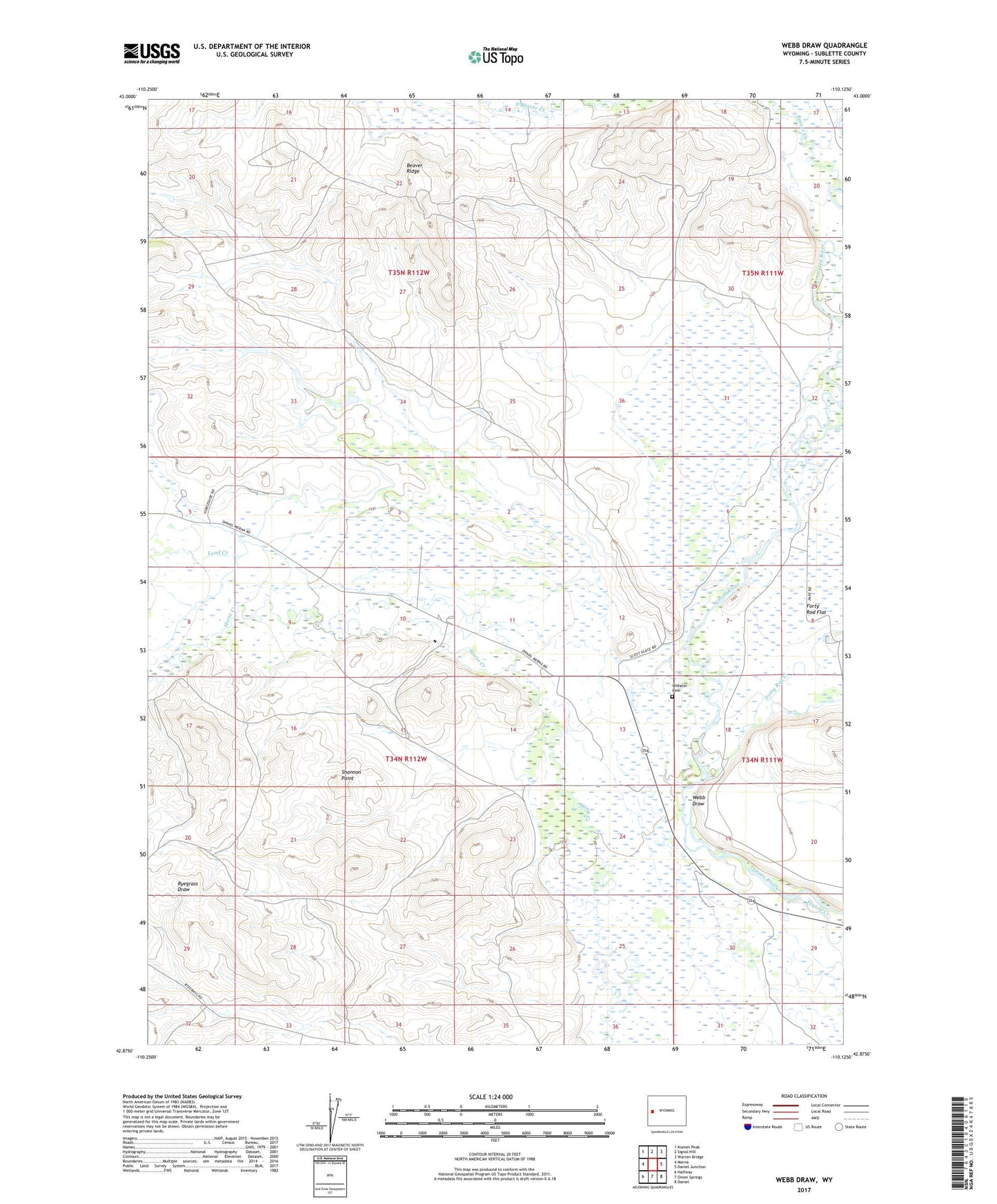
2021 topographic map quadrangle Webb Draw in the state of Wyoming. Scale: 1:24000. Based on the newly updated USGS 7.5' US Topo map series, this map is in the following counties: Sublette. The map contains contour data, water features, and other items you are used to seeing on USGS maps, but also has updated roads and other features. This is the next generation of topographic maps. Printed on high-quality waterproof paper with UV fade-resistant inks.
Quads adjacent to this one:
West: Merna
Northwest: Kismet Peak
North: Signal Hill
Northeast: Warren Bridge
East: Daniel Junction
Southeast: Daniel
South: Onion Springs
Southwest: Halfway
This map covers the same area as the classic USGS quad with code o42110h2.
Contains the following named places: Aspen Ridge Pit Reservoir, Beaver Creek, Forty Rod Creek, Old Fort Bonneville Site, Scott Ditch, Shannon Point, Webb Draw, Wilhelm Cemetery