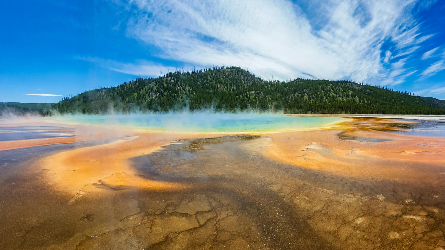
Discover the diverse landscapes of Wyoming with MyTopo's collection of state maps and atlases. Find detailed USGS maps, historic maps, topographic maps, hunting maps, aerials and satellite views. The Badger State offers incredible opportunities for exploring its beautiful lakeshores, hiking in its state parks, and enjoying its vibrant cities.
We cover every location in the state including popular destinations like Yellowstone National Park, Grand Teton National Park, Jackson Hole, Cheyenne, and Cody
Statewide Maps & Poster Prints
-
State of Wyoming Geologic Map
Regular price $60.00Regular priceUnit price per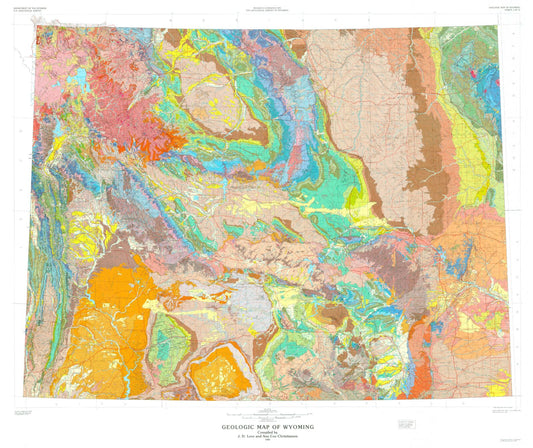
-
State of Wyoming Shaded Relief Topo Map
Regular price $60.00Regular priceUnit price per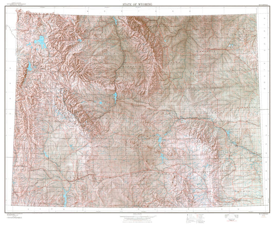
-
State of Wyoming Topographic Map
Regular price $60.00Regular priceUnit price per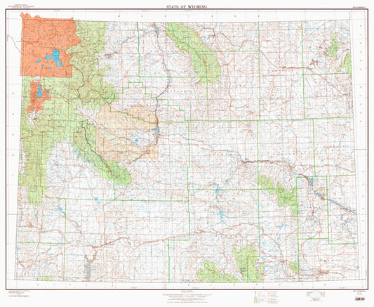
-
State of Wyoming Base Map
Regular price $60.00Regular priceUnit price per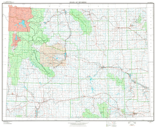
-
State of Wyoming Line Drawing Map
Regular price $25.00Regular priceUnit price per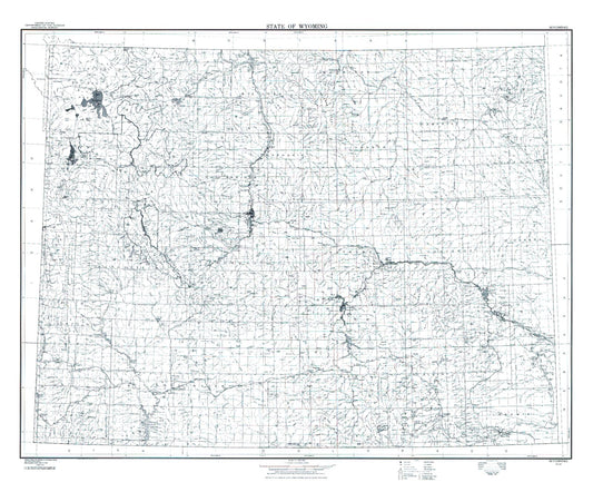
-
State of Wyoming Satellite Map
Regular price $150.00Regular priceUnit price per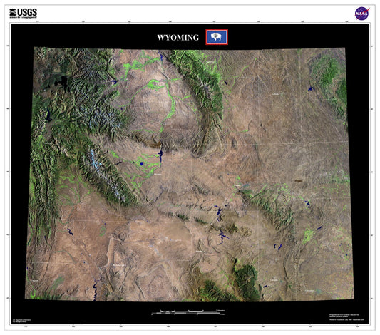
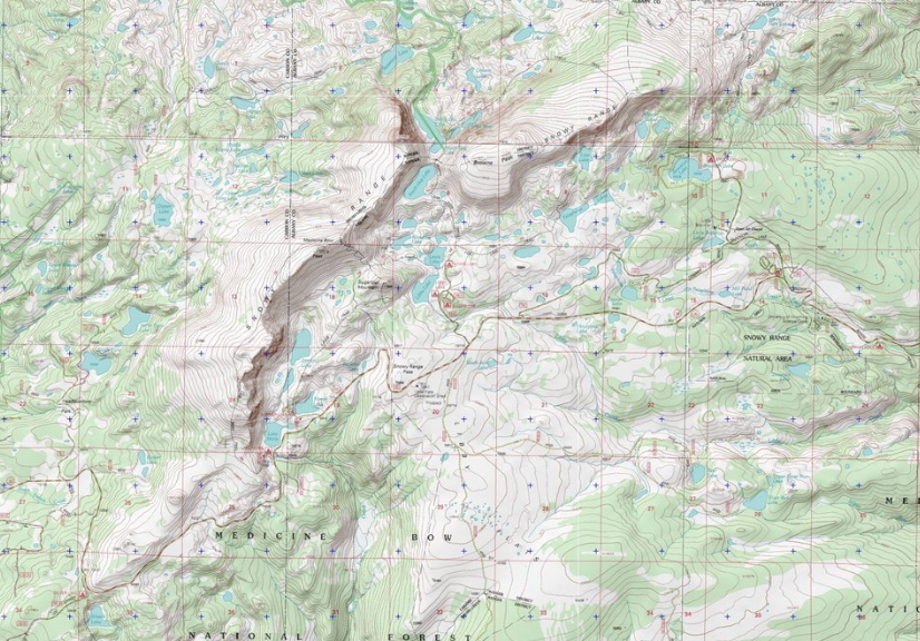
Wyoming Explorer Maps
Wyoming Explorer Series maps represent a curated collection of the most popular locations MyTopo customers have designed maps at. These highly detailed maps are centered on the most amazing places to hike, hunt, and explore.
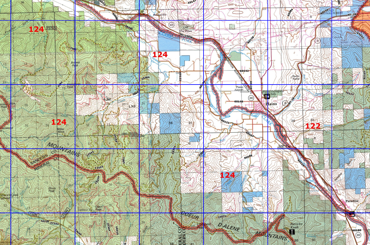
Wyoming Hunting Maps
Game Management Unit (GMU) maps for Wyoming provide invaluable information about public hunting areas. MyTopo hunt area maps use 1:100,000 Bureau of Land Management (BLM) base maps with topography, roads, trails, water sources, and GMU boundary overlays.
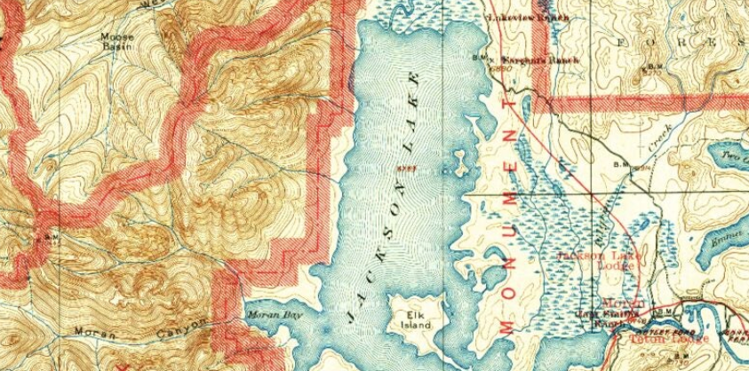
Wyoming Historic Maps
Created at a scale of 1:125,000, this map series was produced from 1883 to 1945. They represent an amazing resource to find historic sites, and are beautiful as vintage wall art. As a medium-scale map, they are detailed enough to show a good image, but general enough to cover a wide area.
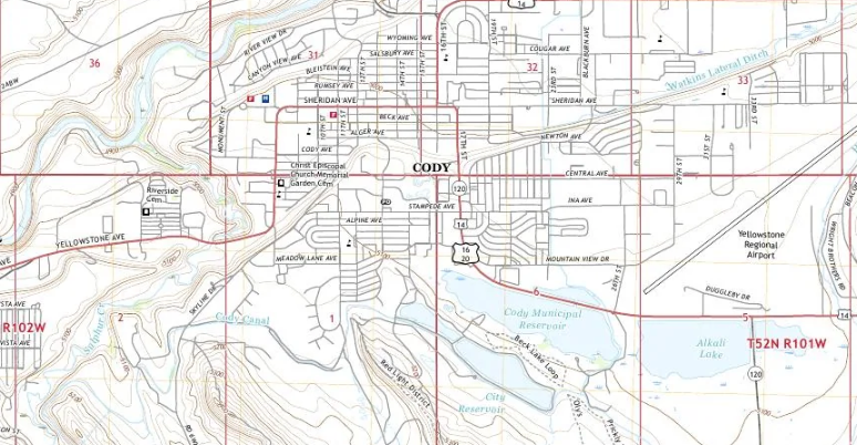
US Topo Maps
Covering all of Wyoming in high detail levels with up-to-date roads, contours, and water features. This is the Next Generation of US Geologic Survey Quad Sheets/Topographic Maps
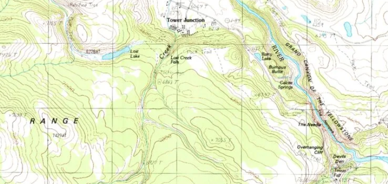
Wyoming Quad Maps
These 1:24,000 scale, 7.5 minute maps are the standard for topographic mapping in Wyoming. Many people still prefer the classic quadrangles due to the unmatched level of detail, accuracy, and symbology honed over a 100-year period by dedicated USGS cartographers.
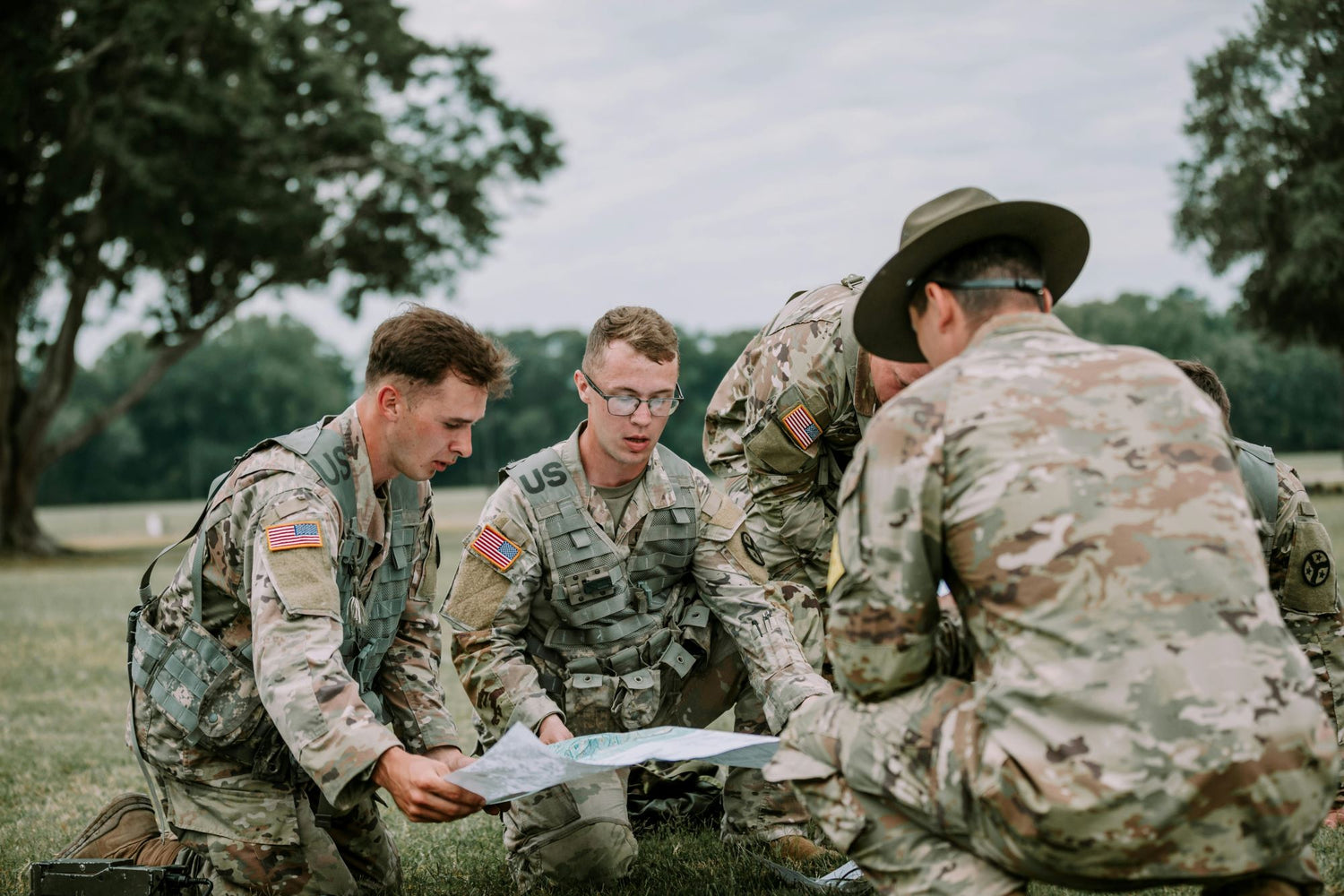
Wyoming Military Maps
Our 1:50,000 scale military topo maps are produced by USGS/NGA. They are designed for precision and durability in various field conditions. These maps are an indispensable tool for operating in diverse environments
Custom Wyoming Maps and Photos
Get a detailed MyTopo topographic map or aerial/satellite map of any location in Wyoming or the U.S. Simply search for the area, set a center point, and choose your map options. Begin here:
Popular Wyoming Maps:
-
Raven Wyoming US Topo Map
Regular price $16.95Regular priceUnit price per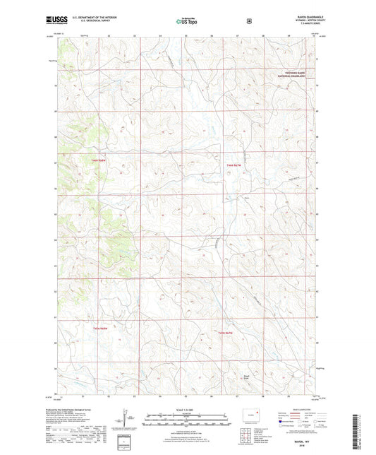
-
Rattlesnake Pass Wyoming US Topo Map
Regular price $16.95Regular priceUnit price per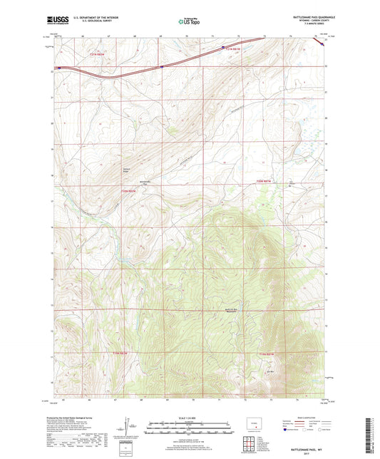
-
Rattlesnake Gulch Wyoming US Topo Map
Regular price $16.95Regular priceUnit price per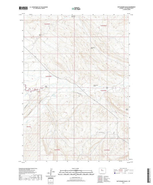
-
Rattlesnake Draw Wyoming US Topo Map
Regular price $16.95Regular priceUnit price per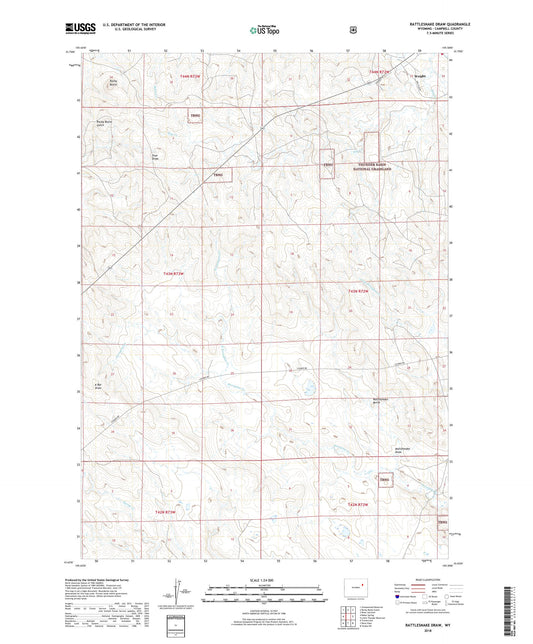
-
Ranger Peak Wyoming US Topo Map
Regular price $16.95Regular priceUnit price per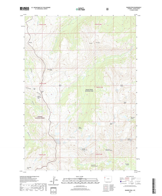
-
Ranchester Wyoming US Topo Map
Regular price $16.95Regular priceUnit price per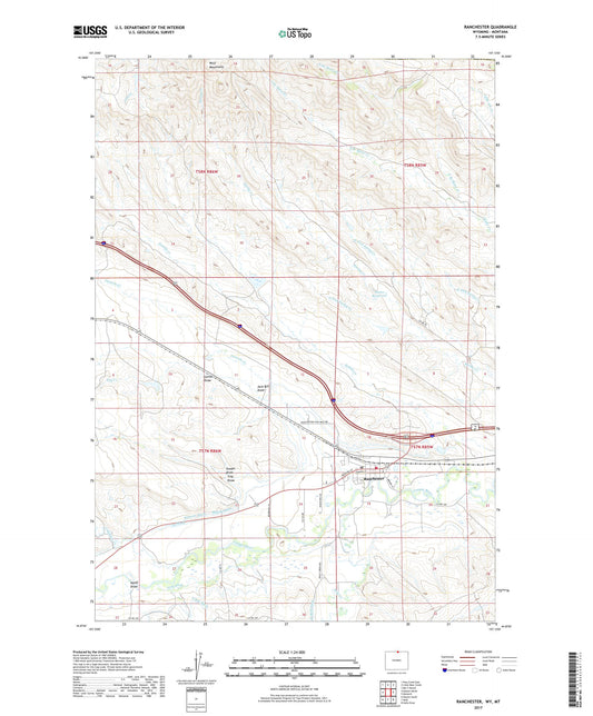
-
Rammell Mountain Wyoming US Topo Map
Regular price $16.95Regular priceUnit price per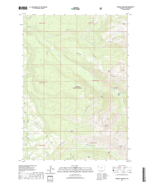
-
Ralston Wyoming US Topo Map
Regular price $16.95Regular priceUnit price per