MyTopo
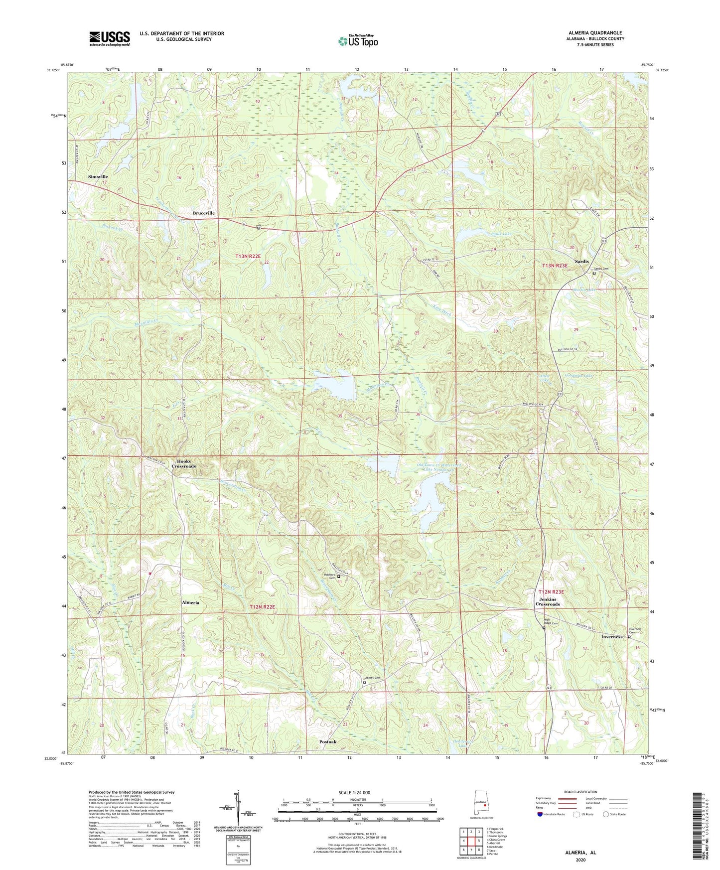
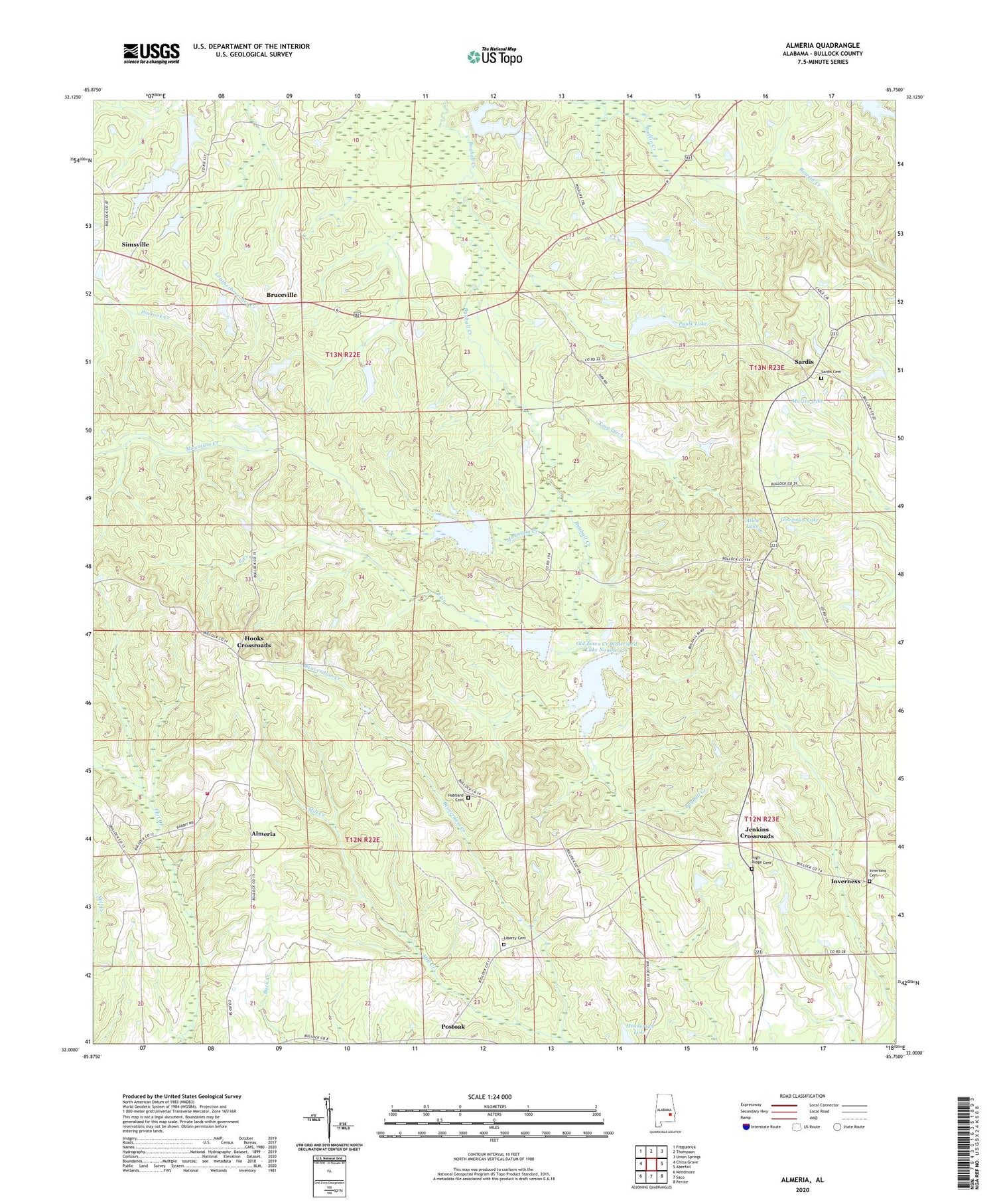
Almeria Alabama US Topo Map
Couldn't load pickup availability
2024 topographic map quadrangle Almeria in the state of Alabama. Scale: 1:24000. Based on the newly updated USGS 7.5' US Topo map series, this map is in the following counties: Bullock. The map contains contour data, water features, and other items you are used to seeing on USGS maps, but also has updated roads and other features. This is the next generation of topographic maps. Printed on high-quality waterproof paper with UV fade-resistant inks.
Quads adjacent to this one:
West: China Grove
Northwest: Fitzpatrick
North: Thompson
Northeast: Union Springs
East: Aberfoil
Southeast: Perote
South: Saco
Southwest: Needmore
This map covers the same area as the classic USGS quad with code o32085a7.
Contains the following named places: Allen Lake, Almeria, Almeria Church, Almeria Fire Department, Beaverdam Creek, Bethlehem Church, Bread Tray Hill, Bruceville, Bullock County Technical High School, Caylers Store, Deason School, East Creek, Faith Tabernacle, Goodman Lake, Henderson Lake, Henderson Lake Dam, High Ridge Cemetery, Hooks Crossroads, Hubbard Cemetery, Hubbards Store, Inverness Cemetery, Jenkins Crossroads, King Ditch, Lake Vann, Lake Vann Dam, Liberty Baptist Church, Liberty Cemetery, Little Sardis Church, Macedonia Baptist Church, Magnolia Church, Martin Lake, Martins Store, Mascotte, Mount Hillard, Mount Hilliard Church, Mountain Creek, New Hope Church, New Hope School, Old Sardis Church, Old Town Creek Watershed Dam Number 24, Old Town Creek Watershed Dam Number 25, Old Town Creek Watershed Dam Number 26, Old Town Creek Watershed Lake Number 24, Old Town Creek Watershed Lake Number 25, Old Town Creek Watershed Lake Number 26, Paulk Lake, Paulk Pond Dam, Pitts Gin, Post Oak Junior High School, Postoak, Roughtons Store, Sardis, Sardis Cemetery, Sardis School, Simsville, WSCA-FM (Union Springs)


