MyTopo
Courtland Alabama US Topo Map
Couldn't load pickup availability
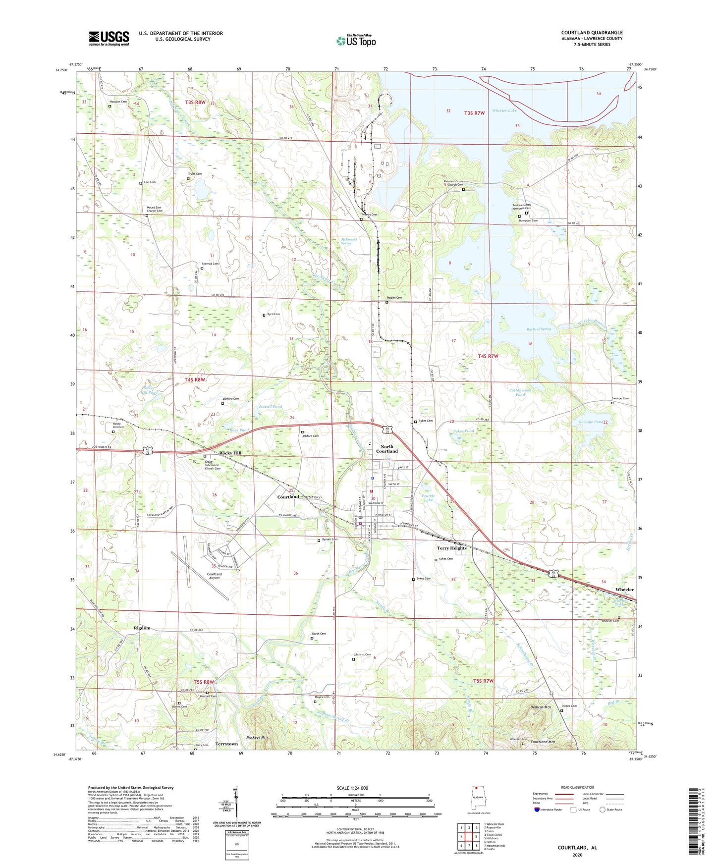
2024 topographic map quadrangle Courtland in the state of Alabama. Scale: 1:24000. Based on the newly updated USGS 7.5' US Topo map series, this map is in the following counties: Lawrence. The map contains contour data, water features, and other items you are used to seeing on USGS maps, but also has updated roads and other features. This is the next generation of topographic maps. Printed on high-quality waterproof paper with UV fade-resistant inks.
Quads adjacent to this one:
West: Town Creek
Northwest: Wheeler Dam
North: Rogersville
Northeast: Cairo
East: Hillsboro
Southeast: Caddo
South: Masterson Mill
Southwest: Hatton
This map covers the same area as the classic USGS quad with code o34087f3.
Contains the following named places: Andrew Garth Memorial Cemetery, Ashford Cemetery, Bay Landing Strip, Bethlehem School, Big Herd Spring, Brickhouse Ford, Bynum Cemetery, Byrd Cemetery, Cat Pond, Church of Christ, Cottonwood Pond, Courtland, Courtland Air Base, Courtland Airport, Courtland Community Hospital, Courtland Downs, Courtland Fire Department, Courtland High School, Courtland Mountain, Courtland Police Department, Courtland Post Office, Dedicar Mountain, Egypt Ford, Felix Terry Cemetery, Garth Cemetery, George C Wallace Industrial Airpark, Gilchrist Cemetery, Gilchrist Island, Graham Cemetery, Hampton Cemetery, Harmony Church, Harmony School, Houston Cemetery, Hubbard Elementary School, Lawrence Center School, Lee Cemetery, Little Sam School, Lock B, Long Pond, Long Spring, Lyle Cemetery, Mayes Cemetery, McDonald Spring, Mount Zion Missionary Baptist Church, Mount Zion School, North Courtland, North Courtland City Police Department, North Courtland Volunteer Fire Department, Owens Cemetery, Pippen Cemetery, Pleasant Grove Church, Prairie Lake, Rigdom, Rock Pond, Rocky Hill, Rocky Hill Cemetery, Rocky Hill Church, Rocky Hill Pond, Rocky Hill School, Sandy Branch, Schoolhouse Branch, Shackleford Pond, Shackleford School, Sherrod Cemetery, Sherrod Lake, Sherrod Quarters, Spring Creek, Spring Creek School, Stovall Pond, Sulphur Spring Branch, Swoope Cemetery, Swoope Pond, Sykes Cemetery, Sykes Pond, Terry Heights, Town Creek-Courtland Division, Town of Courtland, Town of North Courtland, Truitt Cemetery, Tweedy Cemetery, Wheeler Branch, Wheeler Cemetery, Wheeler Chapel Church, Wheeler Spring, ZIP Code: 35618


