MyTopo
Damascus Alabama US Topo Map
Couldn't load pickup availability
Also explore the Damascus Forest Service Topo of this same quad for updated USFS data
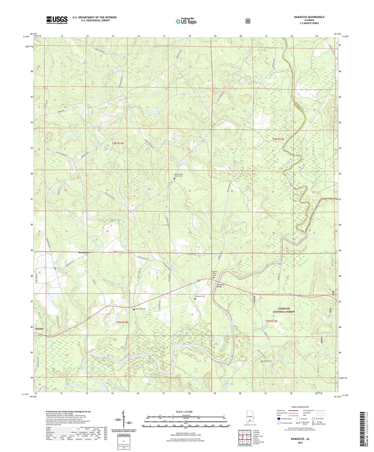
2024 topographic map quadrangle Damascus in the state of Alabama. Scale: 1:24000. Based on the newly updated USGS 7.5' US Topo map series, this map is in the following counties: Escambia, Conecuh. The map contains contour data, water features, and other items you are used to seeing on USGS maps, but also has updated roads and other features. This is the next generation of topographic maps. Printed on high-quality waterproof paper with UV fade-resistant inks.
Quads adjacent to this one:
West: Shipps Creek
Northwest: Nymph
North: Brooklyn
Northeast: Loango
East: Dixie
Southeast: Bradley
South: Parker Springs
Southwest: Roberts
This map covers the same area as the classic USGS quad with code o31086b7.
Contains the following named places: Boykin, Boykin - Damascus Volunteer Fire Department, Boykin Creek, Bush Still, Clear Creek, Cooks Dam, Cooks Lake, Damascus, Damascus Cemetery, Damascus Church, Damascus School, Douglas Chapel United Methodist Church, First Marietta Church, Fishpond, Folley Creek, Foshee Cemetery, Gin Creek, Grab Mill Creek, Hell Hole Creek, Hodge Creek, Hoomesville Church Cemetery, Hoomesville Church of Christ, Marietta, Mason School, McGowan Bridge, McGowin Bridge, McGowin Cemetery, McGowin Ferry Cemetery, Meeting House Creek, Mendenhall Creek, Poley Creek, Saint James Church, Second Bethlehem Baptist Church, Sepulga River, Smith Creek, Tanyard Branch, Teddy