MyTopo
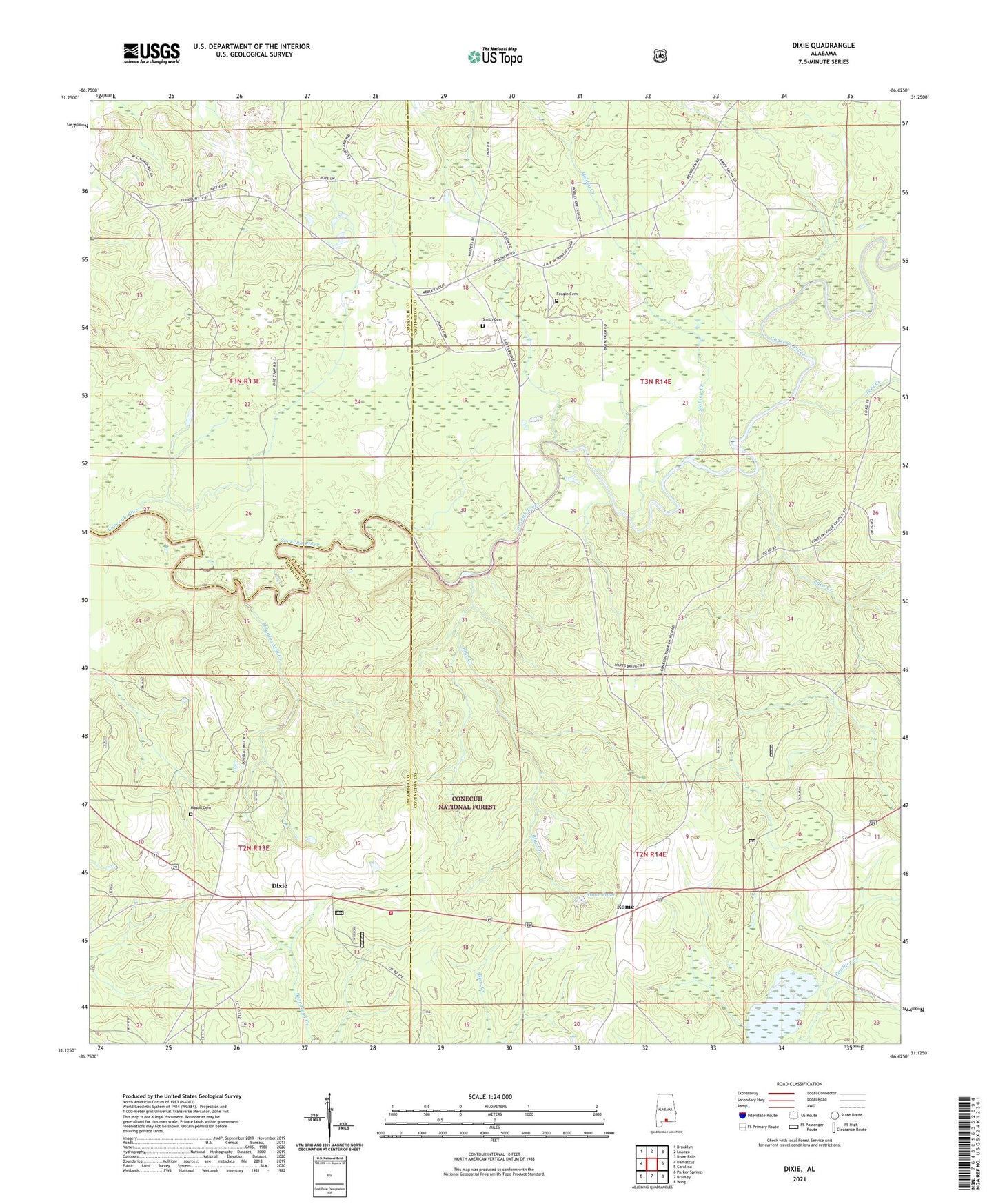
Dixie Alabama US Topo Map
Couldn't load pickup availability
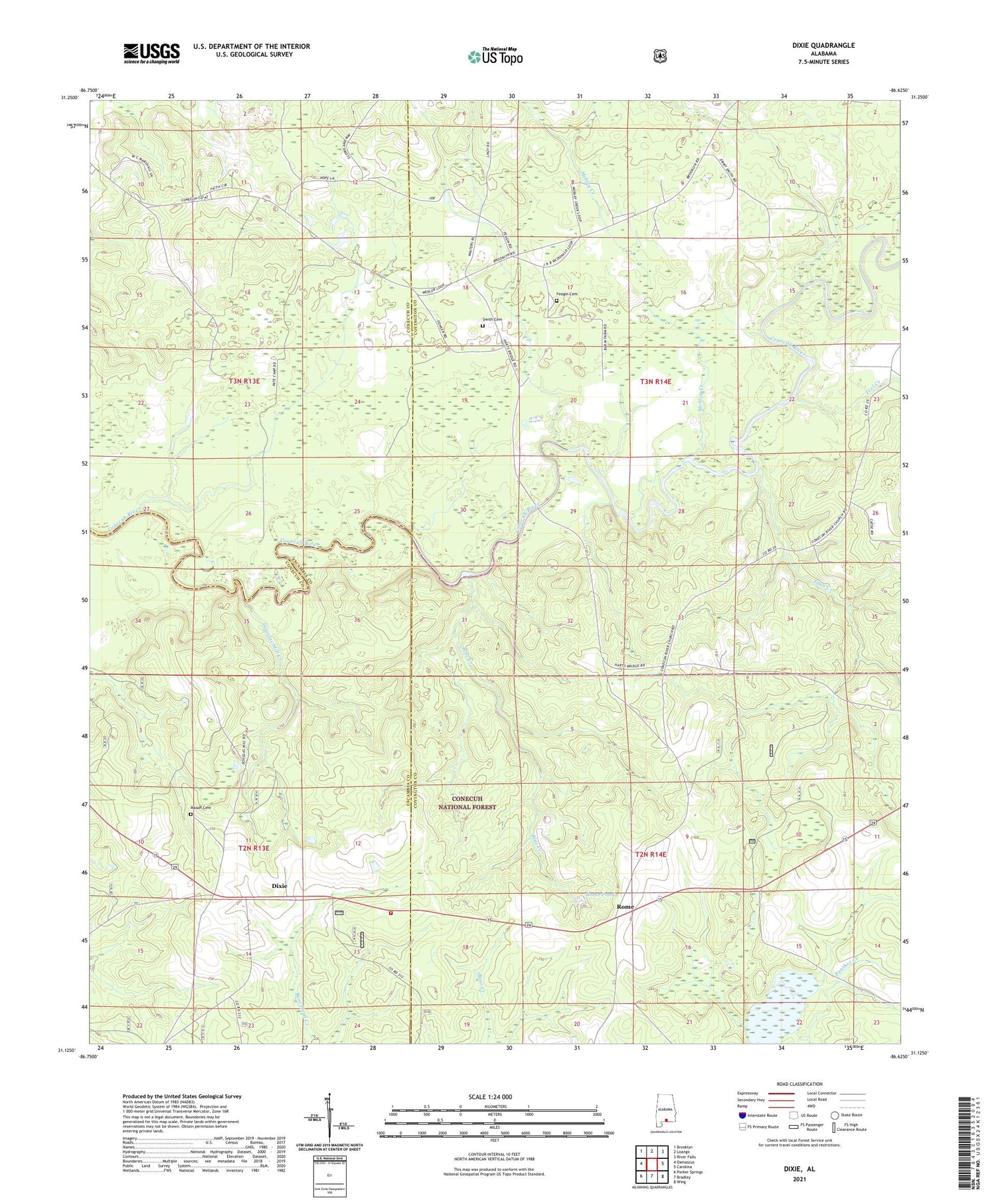
Also explore the Dixie Forest Service Topo of this same quad for updated USFS data
2024 topographic map quadrangle Dixie in the state of Alabama. Scale: 1:24000. Based on the newly updated USGS 7.5' US Topo map series, this map is in the following counties: Covington, Escambia, Conecuh. The map contains contour data, water features, and other items you are used to seeing on USGS maps, but also has updated roads and other features. This is the next generation of topographic maps. Printed on high-quality waterproof paper with UV fade-resistant inks.
Quads adjacent to this one:
West: Damascus
Northwest: Brooklyn
North: Loango
Northeast: River Falls
East: Carolina
Southeast: Wing
South: Bradley
Southwest: Parker Springs
This map covers the same area as the classic USGS quad with code o31086b6.
Contains the following named places: Blue Creek, Brooklyn Zion School, Conecuh River Missionary Baptist Church, Dixie, Dixie Lookout Tower, Dixie Methodist Church, Dixie Volunteer Fire Department, Dixon Forestry Center, Douglas Mill Creek, Eden Creek, Feagin Cemetery, First Zion Church, Floral School, Florala Church, Georgiaville, Georgiaville School, Mason, Mason Cemetery, Mill Creek, Mobley Creek, Mobley Creek Baptist Church, Mount Olive Church, Rome, Rome Pond, Second Brooklyn Zion Church, Smith Cemetery, Snowhill Church, Teel Creek, Welfare Church