MyTopo
Detroit Alabama US Topo Map
Couldn't load pickup availability
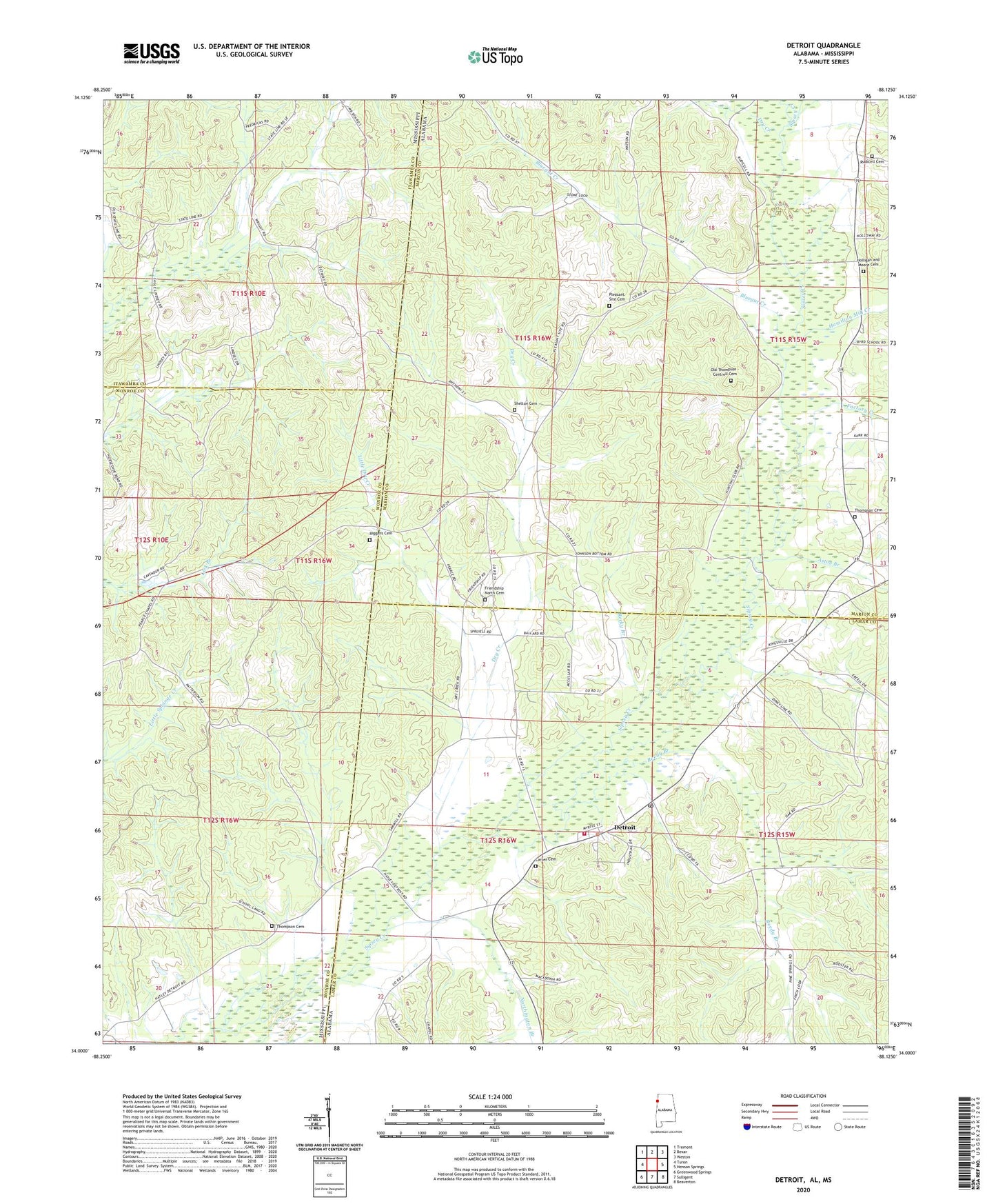
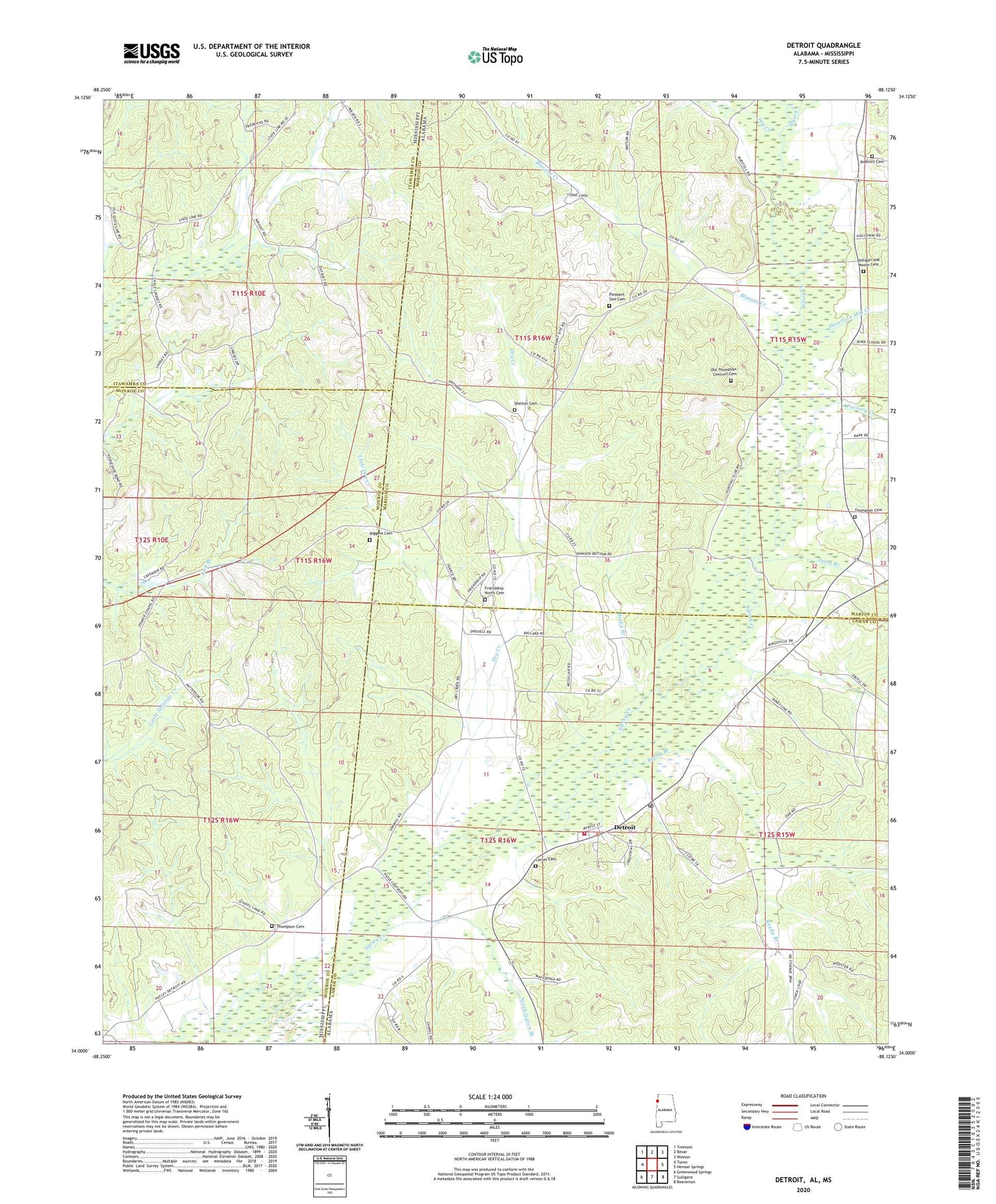
2024 topographic map quadrangle Detroit in the states of Alabama, Mississippi. Scale: 1:24000. Based on the newly updated USGS 7.5' US Topo map series, this map is in the following counties: Marion, Lamar, Monroe, Itawamba. The map contains contour data, water features, and other items you are used to seeing on USGS maps, but also has updated roads and other features. This is the next generation of topographic maps. Printed on high-quality waterproof paper with UV fade-resistant inks.
Quads adjacent to this one:
West: Turon
Northwest: Tremont
North: Bexar
Northeast: Weston
East: Henson Springs
Southeast: Beaverton
South: Sulligent
Southwest: Greenwood Springs
Contains the following named places: Allman Chapel, Aston Branch, Barnesville Creek, Bluegut Creek, Byrd, Byrd Junior High School, Carter Cemetery, Detroit, Detroit Church, Detroit Elementary School, Detroit Fire and Rescue, Detroit Post Office, Dry Creek, Factory Creek, Friendship North Baptist Church, Friendship North Cemetery, Hamilton Mill Creek, Holligan and Moore Cemetery, Kingsville Church, Liberty Grove Church, Little Dry Creek, New Macedonia Church, Northington Branch, Old Thompson - Centrell Cemetery, Pleasant Site Cemetery, Pleasant Site Freewill Baptist Church, Reedy Branch, Riggans Cemetery, Rocky Branch, Rudicell Cemetery, Shelton Cemetery, Thompson Cemetery, Town of Detroit, West Detroit Gas Field, ZIP Code: 35552