MyTopo
Elberta Alabama US Topo Map
Couldn't load pickup availability
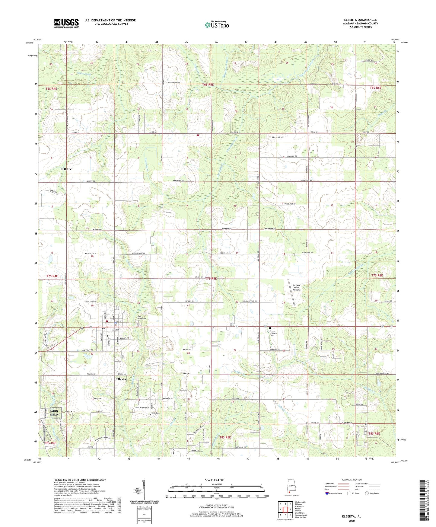
2024 topographic map quadrangle Elberta in the state of Alabama. Scale: 1:24000. Based on the newly updated USGS 7.5' US Topo map series, this map is in the following counties: Baldwin. The map contains contour data, water features, and other items you are used to seeing on USGS maps, but also has updated roads and other features. This is the next generation of topographic maps. Printed on high-quality waterproof paper with UV fade-resistant inks.
Quads adjacent to this one:
West: Foley
Northwest: Robertsdale
North: Elsanor
Northeast: Seminole
East: Lillian
Southeast: Perdido Bay
South: Orange Beach
Southwest: Gulf Shores
This map covers the same area as the classic USGS quad with code o30087d5.
Contains the following named places: Baldwin County Eastfork C and D Landfill, Baldwin County Heritage Museum, Bartholomew Church, Berean Baptist Church, Biophilia Nature Center, Country Crossroads Mobile Home Park, Daybreak United Methodist Church, Dogwood Park Mobile Home Village and Recreational Vehicle Park, Elberta, Elberta Church, Elberta Division, Elberta Junior High School, Elberta Police Department, Elberta Post Office, Elberta Volunteer Fire Department, Elberta Volunteer Fire Department Station 3, Fell Cemetery, First Baptist Church of Elberta, Horak Airport, Negro Creek, Orchards Mobile Home Park, Perdido Winds Airpark, Prince of Peace Cemetery, Saint Marks Cemetery, Saint Mark's Lutheran Church, Soldiers Creek Golf Club, Threemile Creek, ZIP Code: 36530