MyTopo
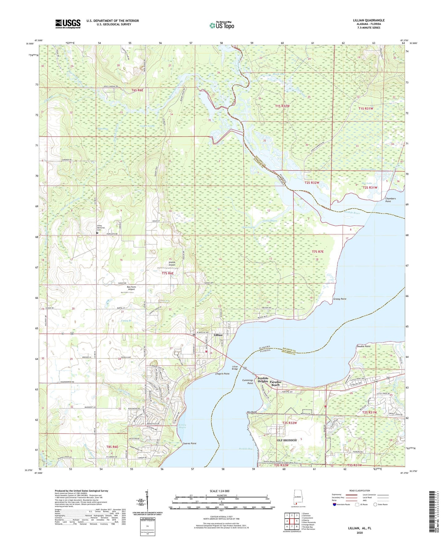
Lillian Alabama US Topo Map
Couldn't load pickup availability
2024 topographic map quadrangle Lillian in the states of Alabama, Florida. Scale: 1:24000. Based on the newly updated USGS 7.5' US Topo map series, this map is in the following counties: Baldwin, Escambia. The map contains contour data, water features, and other items you are used to seeing on USGS maps, but also has updated roads and other features. This is the next generation of topographic maps. Printed on high-quality waterproof paper with UV fade-resistant inks.
Quads adjacent to this one:
West: Elberta
Northwest: Elsanor
North: Seminole
Northeast: Cantonment
East: West Pensacola
Southeast: Fort Barrancas
South: Perdido Bay
Southwest: Orange Beach
Contains the following named places: Alabama Utility Blackwater Wastewater Treatment Facility, Alligator Bayou, Ban Farm Airport, Baroco Lake Dam Number 1, Baroco Lake Dam Number 2, Baroco Lake Number One, Baroco Lake Number Two, Bay Bridge Marina, Black Lake, Blackwater River, Bridge Creek, Caney Bayou, Caney Branch, Chagrin Point, Chambers Point, Cummings Point, Double Point, Elevenmile Creek, Escombia County Fire Rescue Station 20, First Baptist Church of Lillian, Gilley Memorial Cemetery, Grassy Point, Green Branch, Helton Bay, Hurst Landing, Juniper Swamp, Kinsey Bayou, Kits Marina, Lillian, Lillian Bridge, Lillian Census Designated Place, Lillian Church, Lillian Elementary School, Lillian Fire Rescue, Lillian Post Office, Lillian Swamp, Lillian United Methodist Church, Narrow Gap Creek, Naval Auxiliary Air Station Bronson Field, New Mount Mariah Church, Nix Point, Paradise Beach, Perdido Bay, Perdido Bay Library, Perdido Heights, Perdido River, Peterson Branch, Reeder Lake, Saint Josephs Church, Shields Airport, Spanish Cove Mobile Home Park, Suarez Point, Tee Lake, Wicker Lakes, ZIP Code: 36549


