MyTopo
Hinton Alabama US Topo Map
Couldn't load pickup availability
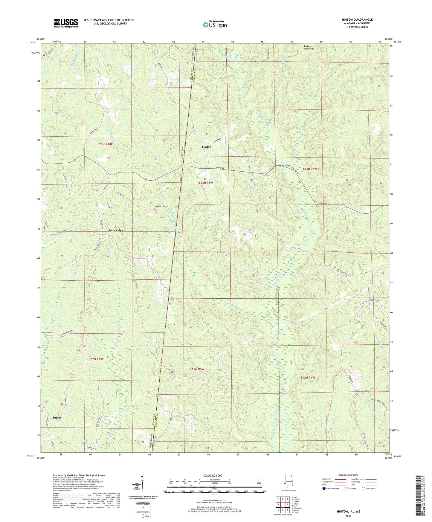
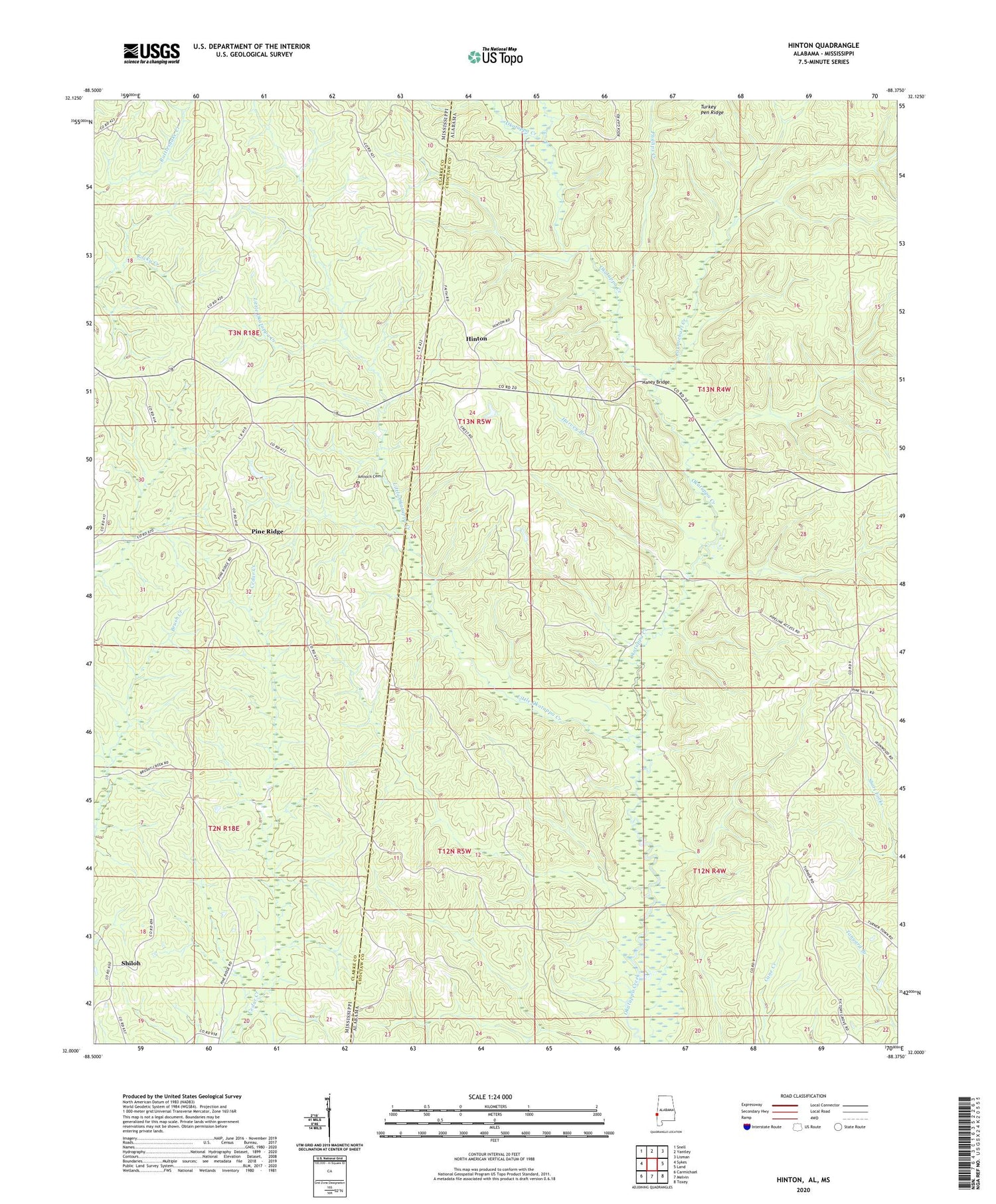
2024 topographic map quadrangle Hinton in the states of Alabama, Mississippi. Scale: 1:24000. Based on the newly updated USGS 7.5' US Topo map series, this map is in the following counties: Choctaw, Clarke. The map contains contour data, water features, and other items you are used to seeing on USGS maps, but also has updated roads and other features. This is the next generation of topographic maps. Printed on high-quality waterproof paper with UV fade-resistant inks.
Quads adjacent to this one:
West: Sykes
Northwest: Snell
North: Yantley
Northeast: Lisman
East: Land
Southeast: Toxey
South: Melvin
Southwest: Carmichael
Contains the following named places: Antioch Baptist Church, Antioch Cemetery, Bergamot, Bergamot School, Bull Branch, Camp Pine Crest, Camp Springs Church, Carmichael Creek, Creek, Fuller Store, Graysons School, Haney Bridge, Harvey Branch, Hinton, Hinton Church, Hurricane Creek, Little Okatuppa Creek, Missala, Phillips Creek, Pine Crest Church, Pine Ridge, Pine Ridge School, Salt Lick, Scott Bridge, Shiloh, Turkey Pen Creek, Union Church