MyTopo
Lisman Alabama US Topo Map
Couldn't load pickup availability
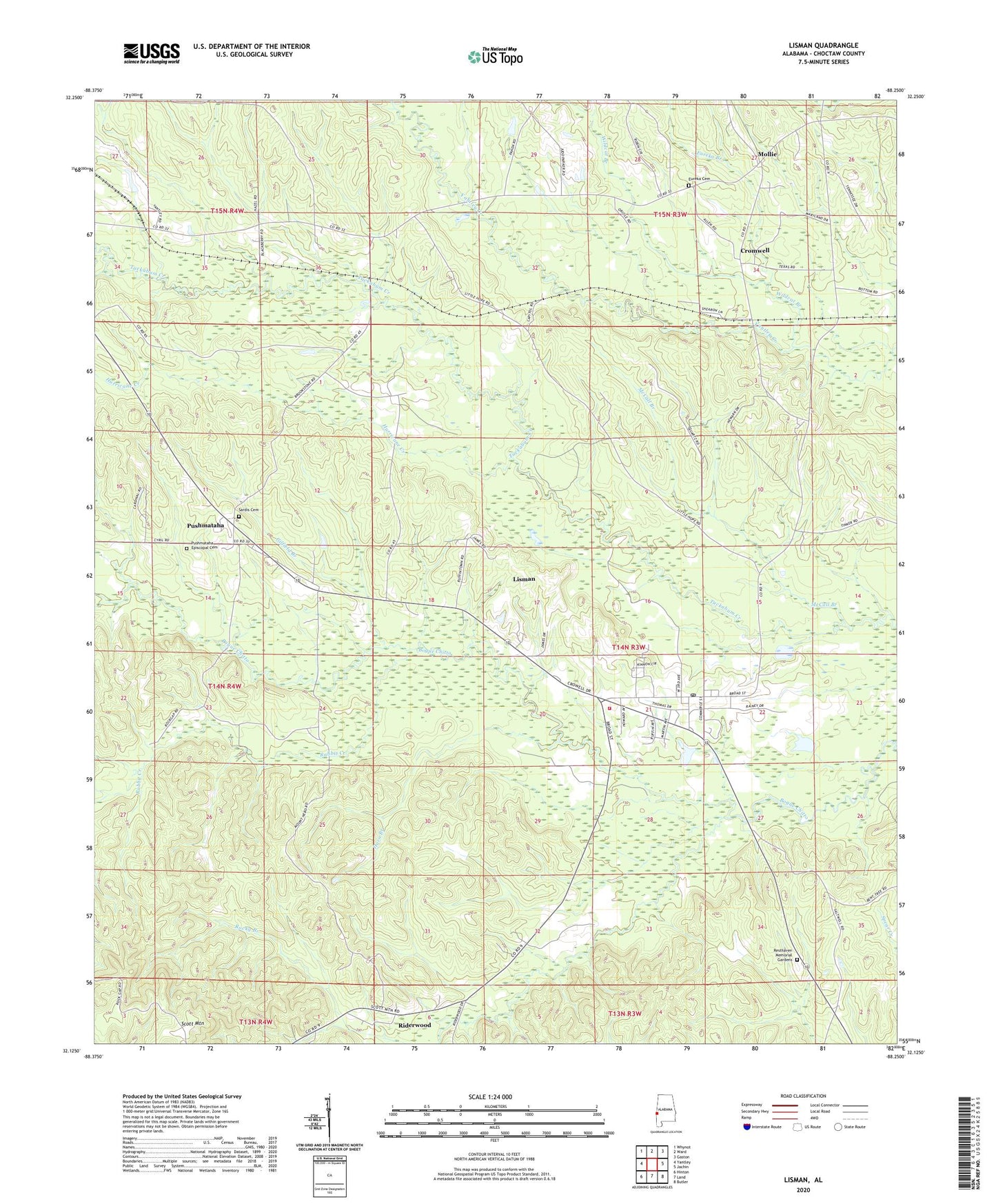
2024 topographic map quadrangle Lisman in the state of Alabama. Scale: 1:24000. Based on the newly updated USGS 7.5' US Topo map series, this map is in the following counties: Choctaw. The map contains contour data, water features, and other items you are used to seeing on USGS maps, but also has updated roads and other features. This is the next generation of topographic maps. Printed on high-quality waterproof paper with UV fade-resistant inks.
Quads adjacent to this one:
West: Yantley
Northwest: Whynot
North: Ward
Northeast: Gaston
East: Jachin
Southeast: Butler
South: Land
Southwest: Hinton
This map covers the same area as the classic USGS quad with code o32088b3.
Contains the following named places: Carney Branch, Choctaw County Saddle Club, Climax, Cromwell, Cromwell Station, Eureka Baptist Church, Eureka Branch, Eureka Cemetery, Gilfield Branch, Gilfield Missionary Baptist Church, Halls Well, Horn Branch, Hurricane Creek, Lisman, Lisman Junior High School, Lisman Post Office, Lisman Volunteer Fire Department, Little Hope Church, McCall Branch, Mollie, Mose Spur, Mount Nebo Baptist Church, Mount Nebo Church, Petty Hill Elementary School, Pushmataha, Pushmataha Episcopal Cemetery, Pushmataha United Methodist Church, Rabbit Creek, Rainers Store, Rehoboth Baptist Church, Resthaven Memorial Gardens, Riderwood, Riderwood Baptist Church, Riderwood Station, Rocky Branch, Sardis Cemetery, Scott Mountain, Shiloh Christian Methodist Episcopal Church, Shiloh Elementary School, Town of Lisman, Wildcat Branch, Woods Creek, ZIP Code: 36912