MyTopo
King Cove Alabama US Topo Map
Couldn't load pickup availability
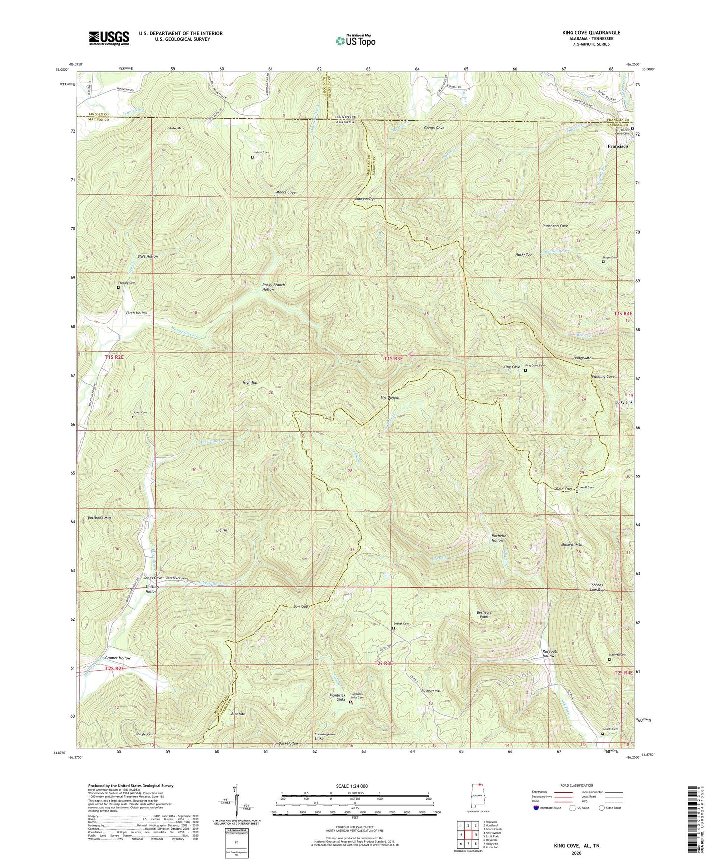
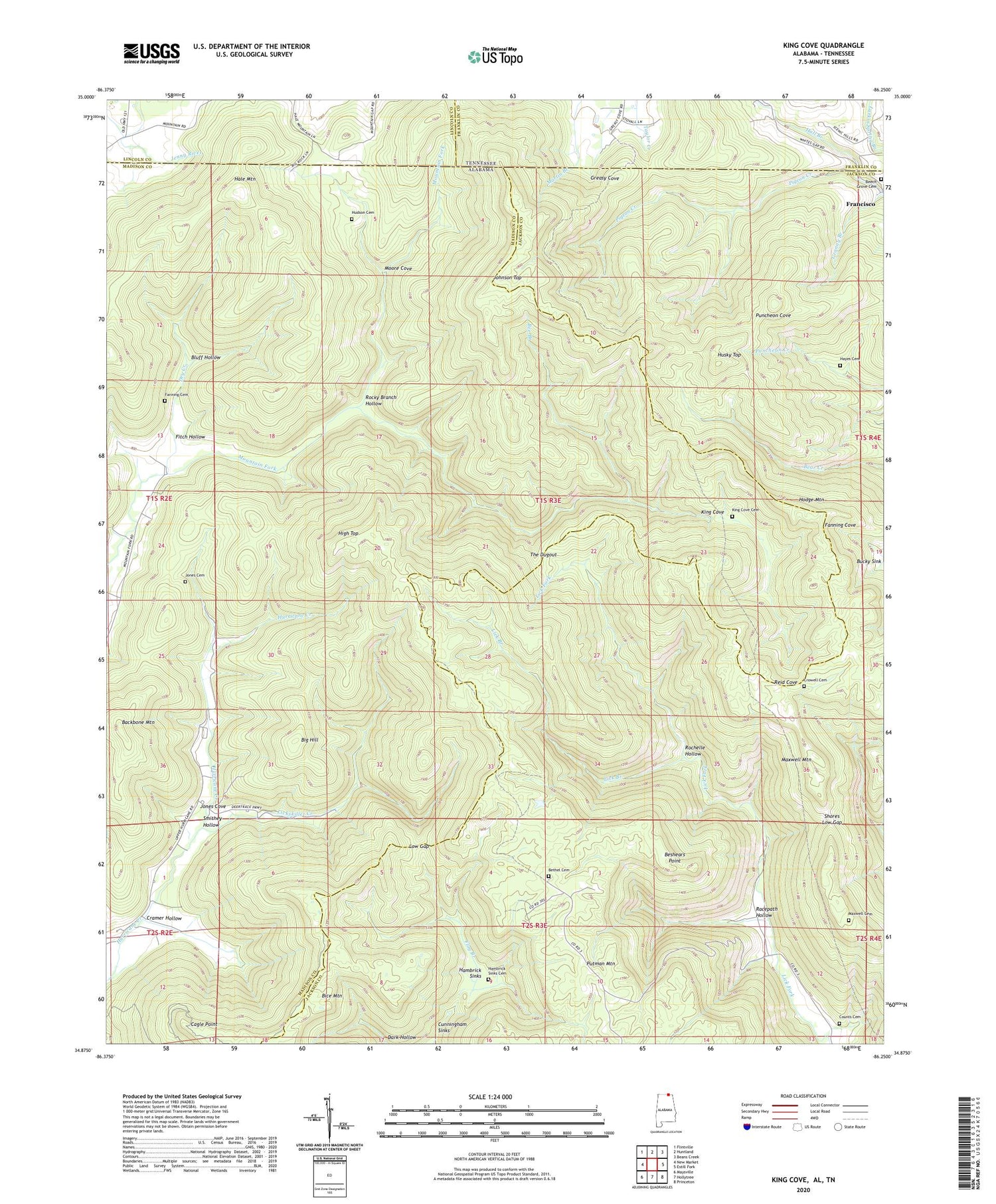
2024 topographic map quadrangle King Cove in the states of Alabama, Tennessee. Scale: 1:24000. Based on the newly updated USGS 7.5' US Topo map series, this map is in the following counties: Madison, Jackson, Franklin, Lincoln. The map contains contour data, water features, and other items you are used to seeing on USGS maps, but also has updated roads and other features. This is the next generation of topographic maps. Printed on high-quality waterproof paper with UV fade-resistant inks.
Quads adjacent to this one:
West: New Market
Northwest: Flintville
North: Huntland
Northeast: Beans Creek
East: Estill Fork
Southeast: Princeton
South: Hollytree
Southwest: Maysville
Contains the following named places: Backbone Mountain, Bee Branch, Beech Grove Cemetery, Beech Grove School, Beshears Point, Bethel Cemetery, Bice Mountain, Big Hill, Bluff Hollow, Cagle Point, Cramer Hollow, Crowell Cemetery, Dry Creek, Fanning Cemetery, Fitch Hollow, Flag Branch, Hale Mountain, Hall Branch, Hambrick School, Hambrick Sinks, Hayes Cemetery, High Top, Honea, Hudson Cemetery, Husky Top, Johnson Top, Jones Cove, King Cove, King Cove Cemetery, Lick Branch, Lickskillet Creek, Low Gap, Maxwell Cemetery, Maxwell Mountain, Moore Cove, Mountain Fork Church, Pigeon Creek, Putman Mountain, Racepath Hollow, Rochelle Hollow, Rocky Branch, Rocky Branch Hollow, Shores Low Gap, Smithey Hollow, The Dugout