MyTopo
Mount Willing Alabama US Topo Map
Couldn't load pickup availability
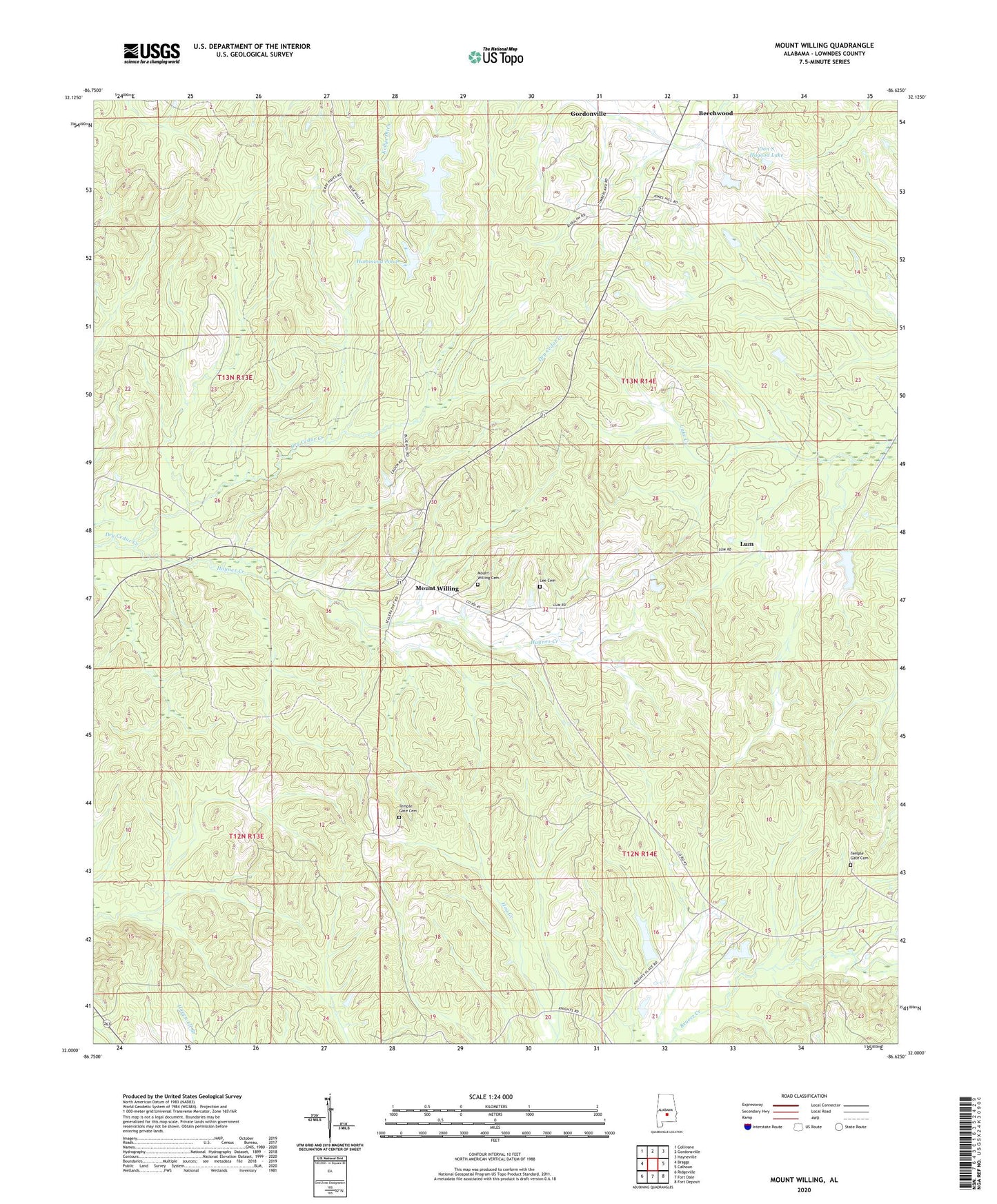
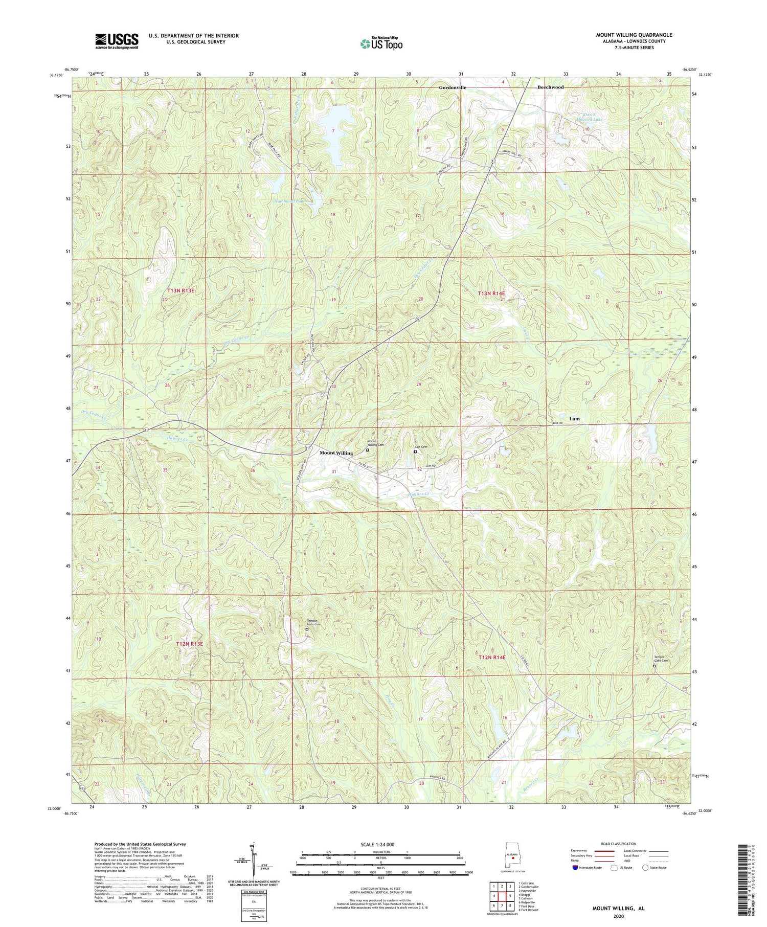
2024 topographic map quadrangle Mount Willing in the state of Alabama. Scale: 1:24000. Based on the newly updated USGS 7.5' US Topo map series, this map is in the following counties: Lowndes. The map contains contour data, water features, and other items you are used to seeing on USGS maps, but also has updated roads and other features. This is the next generation of topographic maps. Printed on high-quality waterproof paper with UV fade-resistant inks.
Quads adjacent to this one:
West: Braggs
Northwest: Collirene
North: Gordonsville
Northeast: Hayneville
East: Calhoun
Southeast: Fort Deposit
South: Fort Dale
Southwest: Ridgeville
This map covers the same area as the classic USGS quad with code o32086a6.
Contains the following named places: Antioch Baptist Church, Beechwood Airport, Dan S Hagood Lake, Dan S Hagood Lake Dam, Garrett Mill Church, H W Moore Lake, H W Moore Lake Dam, Hammond, Hammond Pond, Lee Cemetery, Llano Grove Church, Lum, Lum School, Mount Carmel Church, Mount Olive Church, Mount Willing, Mount Willing Cemetery, Mount Willing Church, Mount Willing Lookout Tower, Snow Hill Christian Church, Temple Gate Cemetery, Temple Gate Church, Tolbert Chapel