MyTopo
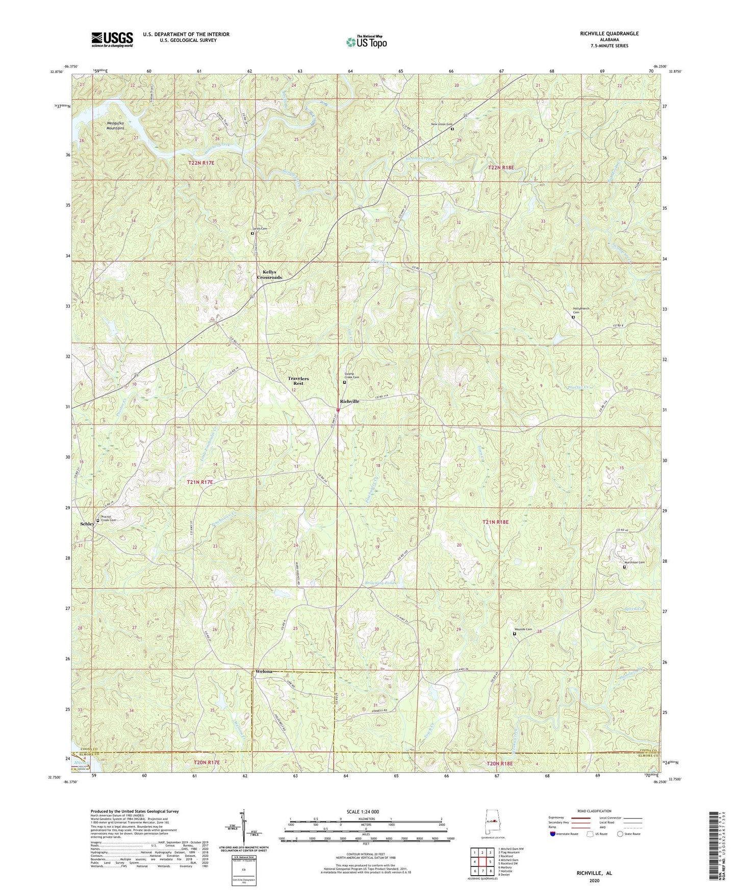
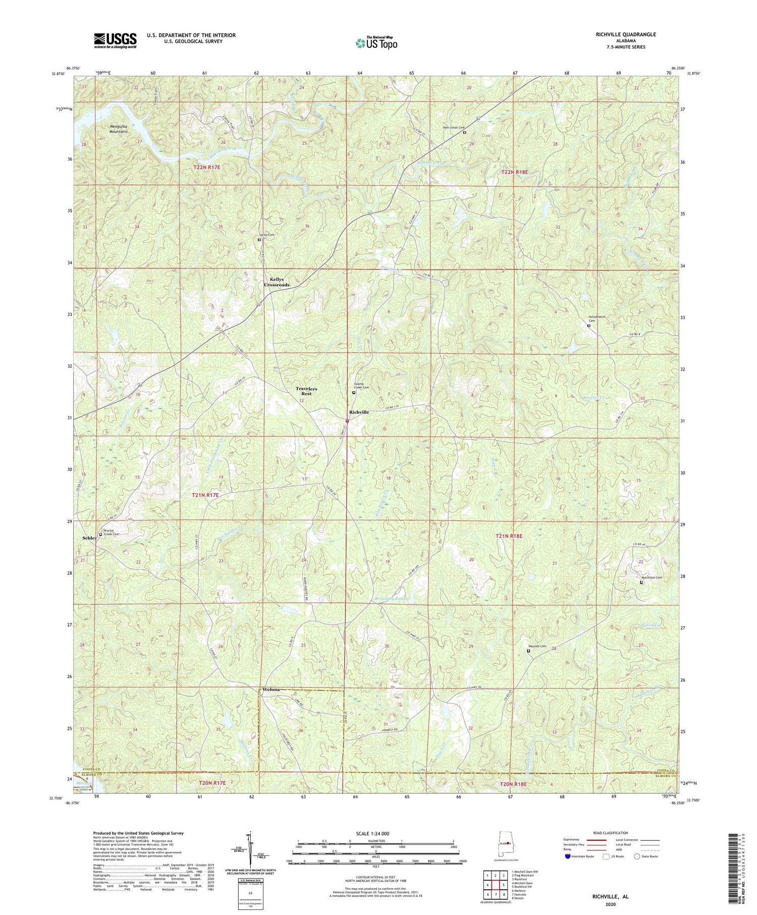
Richville Alabama US Topo Map
Couldn't load pickup availability
2024 topographic map quadrangle Richville in the state of Alabama. Scale: 1:24000. Based on the newly updated USGS 7.5' US Topo map series, this map is in the following counties: Coosa, Elmore, Chilton. The map contains contour data, water features, and other items you are used to seeing on USGS maps, but also has updated roads and other features. This is the next generation of topographic maps. Printed on high-quality waterproof paper with UV fade-resistant inks.
Quads adjacent to this one:
West: Mitchell Dam
Northwest: Mitchell Dam NW
North: Flag Mountain
Northeast: Rockford
East: Rockford SW
Southeast: Dexter
South: Holtville
Southwest: Marbury
This map covers the same area as the classic USGS quad with code o32086g3.
Contains the following named places: Browning Pond, Bryant, Church of Christ, Gin Creek, Grooves Lake, Grooves Lake Dam, Hamilton Branch, Hollybranch Cemetery, Kellys Crossroads, Little Pinchoulee Creek, Murchison Cemetery, New Union Baptist Church, New Union Cemetery, Penton-Anderson Prospect, Proctor Creek, Proctor Creek Cemetery, Proctor Creek Church, Providence Baptist Church, Red Mouth Creek, Richville, Richville Junior High School, Richville Volunteer Fire Department, Rocky Branch, Sardis Baptist Church, Sardis Cemetery, Schley, Shelton Lake, Shelton Lake Dam, Sinai Church, Speed Creek, Swamp Creek, Swamp Creek Cemetery, Swamp Creek Primitive Baptist Church, Thompsons Old Ferry, Titus Church, Travelers Rest, Union Church, Wayside Baptist Church, Wayside Cemetery, Welona, Williams Prospect


