MyTopo
Vida Alabama US Topo Map
Couldn't load pickup availability
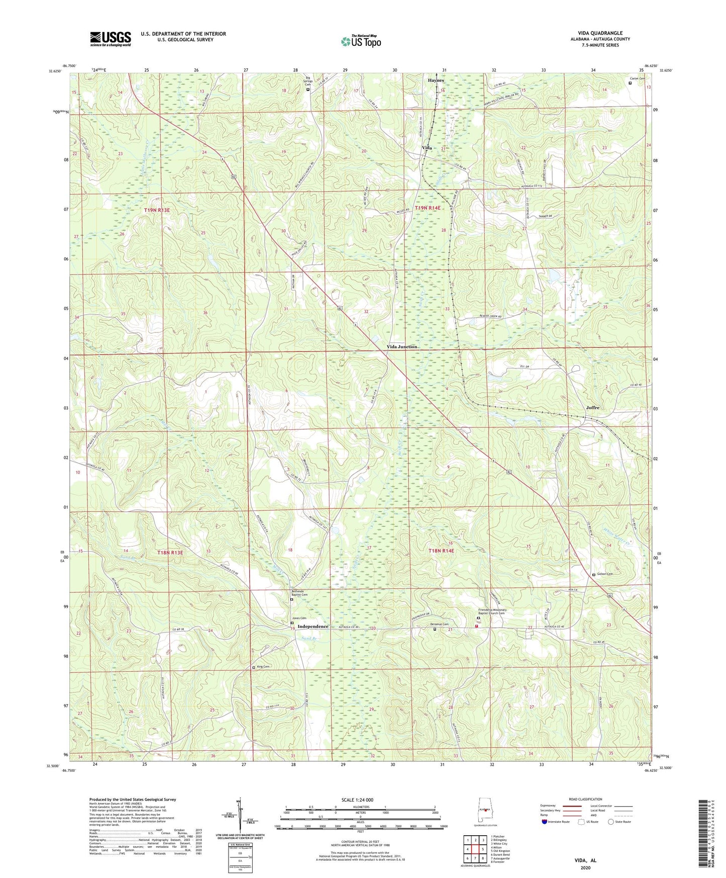
2024 topographic map quadrangle Vida in the state of Alabama. Scale: 1:24000. Based on the newly updated USGS 7.5' US Topo map series, this map is in the following counties: Autauga. The map contains contour data, water features, and other items you are used to seeing on USGS maps, but also has updated roads and other features. This is the next generation of topographic maps. Printed on high-quality waterproof paper with UV fade-resistant inks.
Quads adjacent to this one:
West: Milton
Northwest: Pletcher
North: Billingsley
Northeast: White City
East: Old Kingston
Southeast: Forester
South: Autaugaville
Southwest: Durant Bend
This map covers the same area as the classic USGS quad with code o32086e6.
Contains the following named places: Autauga County, Bethesda Baptist Church, Bethesda Church, Bethlehem Lutheran Church, Big Springs Baptist Church, Big Springs Cemetery, Carter Cemetery, Deramus Cemetery, Friendship Church, Friendship School, Golson Cemetery, Hillside, Independence, Independence Volunteer Fire Department, Joffre, Jones Cemetery, King Cemetery, Mill Creek, Sand Branch, Spur, Turnpike Branch, Vida, Vida Junction